Monday, 4 May 2026
Before we left the UNESCO World Heritage-listed Kakadu National Park behind us, we visited the Warradjan Aboriginal Cultural Centre. Just one minute from our accommodation, we pulled in on our way out this morning. The centre is a living space for sharing culture, history and art created by the Bininj/Mungguy people. It tells the stories of Country, Dreaming and the unbroken connection of Aboriginal people to these lands for over 65,000 years.
The idea for Warradjan was born in the late 1980s, when Bininj/Mungguy people sat in circles to discuss how the centre should look and feel. Circles are at the heart of Bininj/Mungguy gatherings – a symbol of equality, listening and shared knowledge. It was decided that the building itself should be round, like a gathering of people. Later the community saw the shape as reflecting the Warradjan (pig nosed turtle), a species found in nearby billabongs. In 1995, after years of consultation, the centre was opened as both a museum and meeting place.
Assuming that photography would not be appropriate, we left our cameras in the truck. Sure enough, there were signs requesting that photos and video not be taken inside the centre. However, that did not stop one entitled woman from using her mobile phone to snap away. Even if her first language was not English, surely she should have been able to understand that a camera symbol and video symbol inside a red circle with a cross through it means no photos, no video?!
Both Uluru-Kata Tjuta and Kakadu are administered by the Australian Government through Parks Australia NOT by the Northern Territory Government, and we needed to purchase park passes specific to each of these parks, as a Northern Territory Parks Pass does not cover entry to these UNESCO World Heritage-listed parks. After visiting both parks we have felt that there is an appearance that more funds are available for the development and maintenance of Uluru than Kakadu, although we concede that it might be too early in the season to truly judge Kakadu?? Perhaps they are yet to commence this season’s repair and maintenance program?
However, after visiting both cultural centres, we feel that this is one thing that Kakadu has done better. We found the Uluru-Kata Tjuta Cultural Centre a bit political and rather stuck in the 80s at the time when Uluru was formally handed back to its Traditional Owners. We found it interesting BUT – we’re museum nerds. We could see how many visitors would find it an overwhelming amount of information that takes too long to persevere with. Perhaps, now that it is 2026, some 40 years since Uluru was returned to the Anangu people, it is time for a refresh to bring the cultural centre’s presentations into the 21st Century??
The information and stories at Warradjan were a good balance of facts and history complemented with personal quotes that provided a good overview of the Aboriginal lives and experiences here. We found the presentation about the children being removed to catholic missions in the Tiwi Islands particularly interesting. A brother and sister related their memories with the sister saying the nuns were kind and she enjoyed her lessons, but was disappointed that she lost her language and had to learn a different indigenous language when she returned later to Kakadu. Her brother’s experiences at the hands of the priests were not remembered fondly at all. His recollections were mainly about harsh discipline and beatings.
We exited the museum side of Warradjan and entered the HUGE shop but managed to resist making any purchases. We wandered back to the truck and started our journey to what will be the northernmost destination on this road trip, Darwin. We drove along the Kakadu Highway (Hwy 21) towards Jabiru. The road along this section of the highway featured tropical woodland that included beautiful silvery, fern-like grevilleas with dark yellow flowers. Googling ‘yellow flowering grevillea Kakadu’ revealed that the grevillea is known as … fern-leaved grevillea or golden grevillea or, officially, as grevillea formosa or Mount Brockman grevillea. So many names for one grevillea!
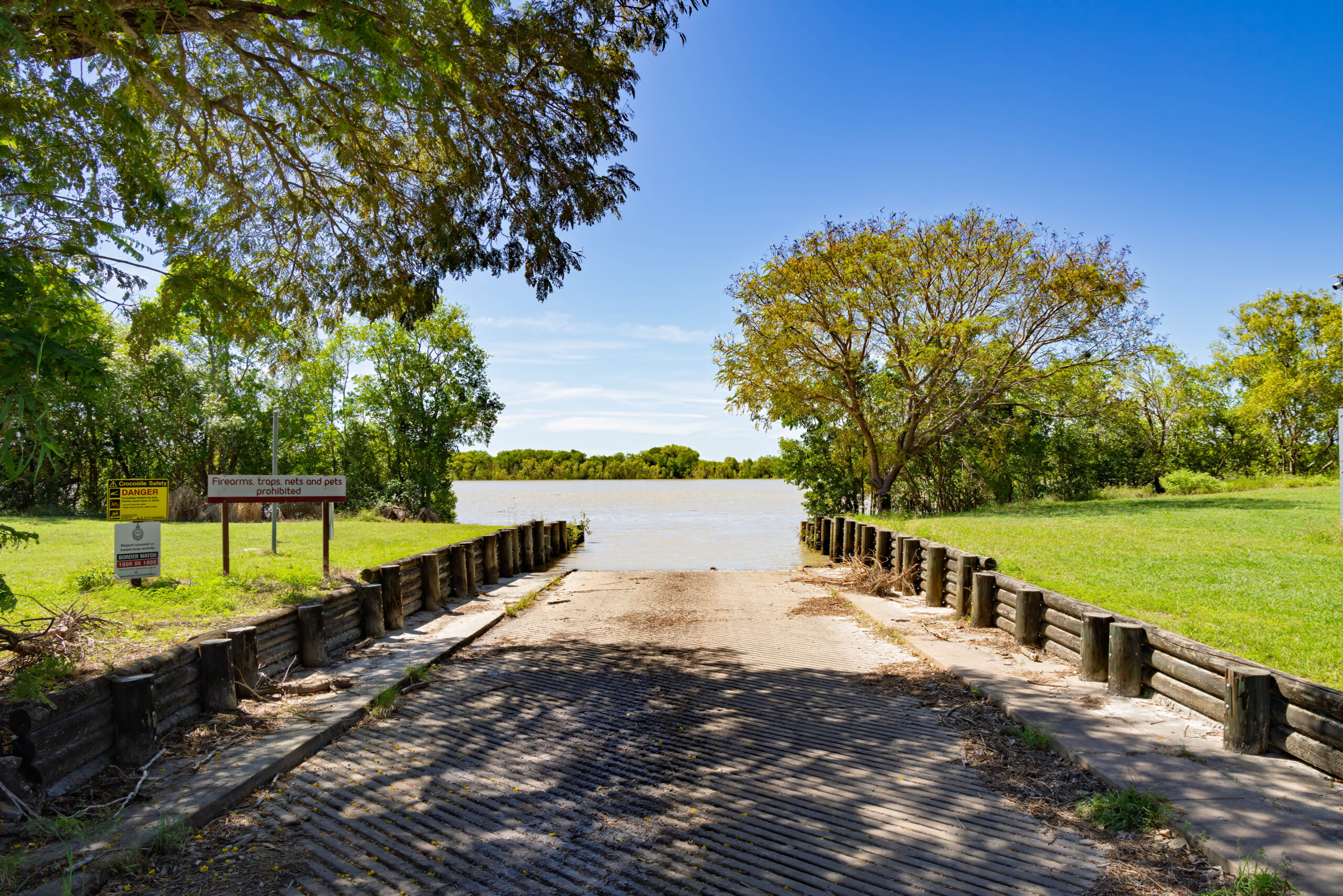
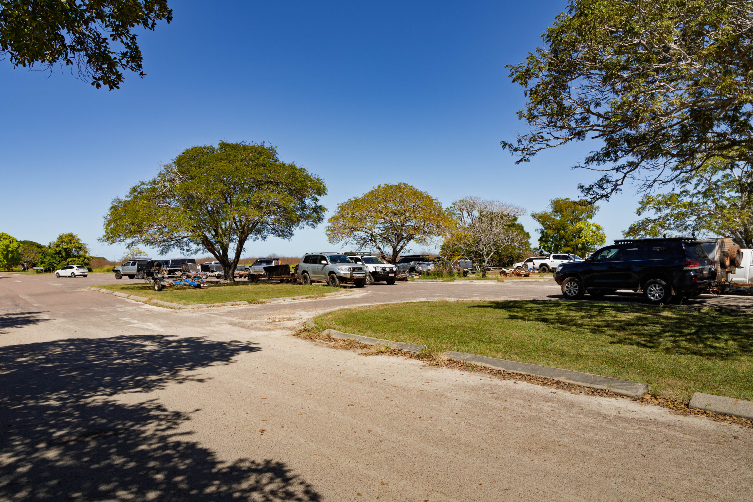
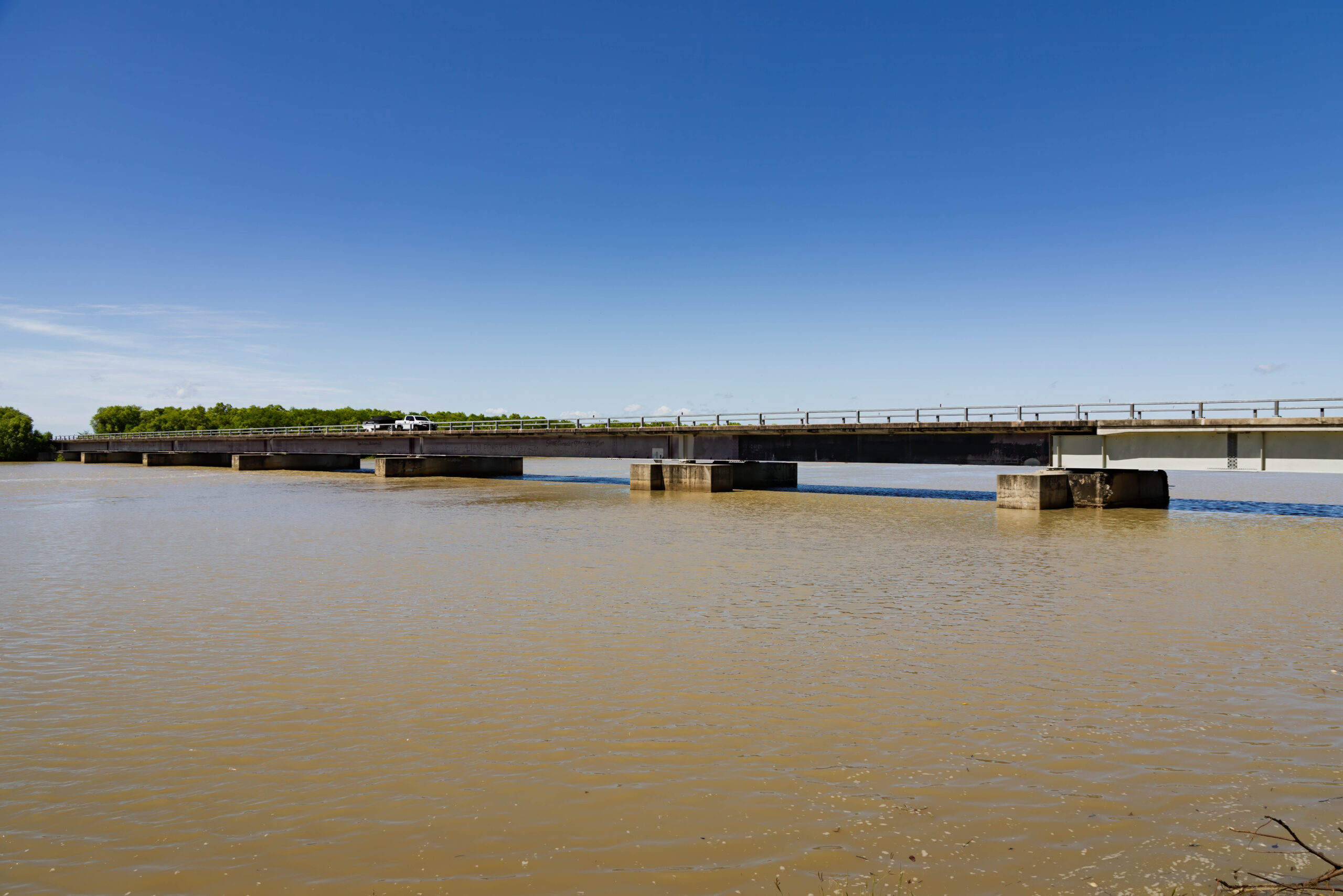
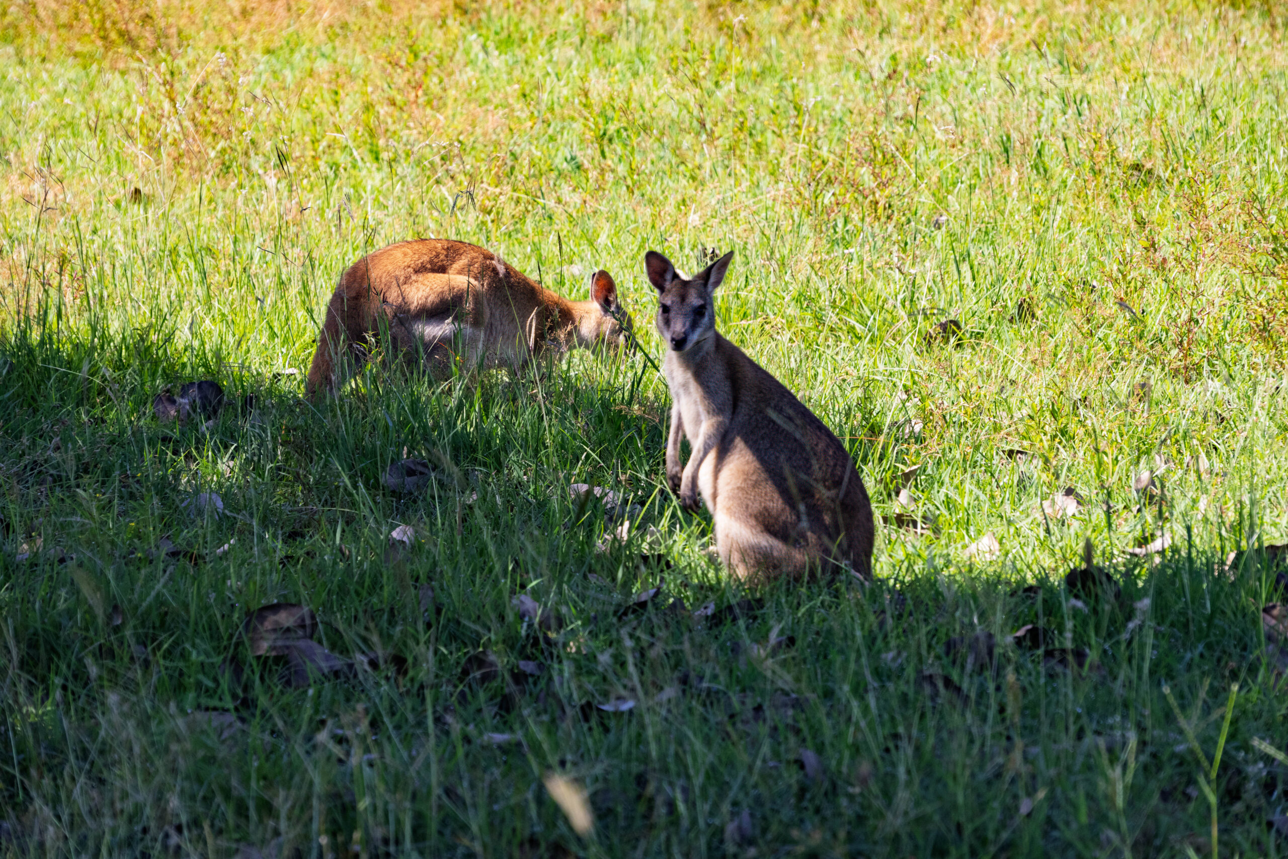
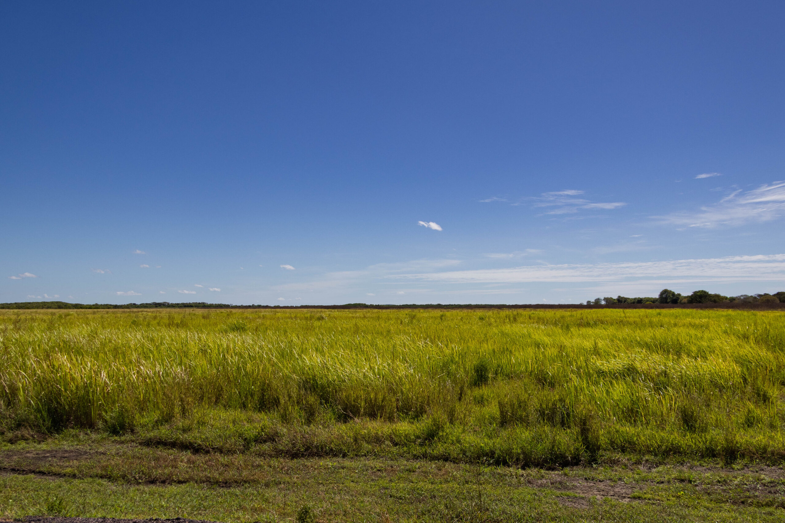
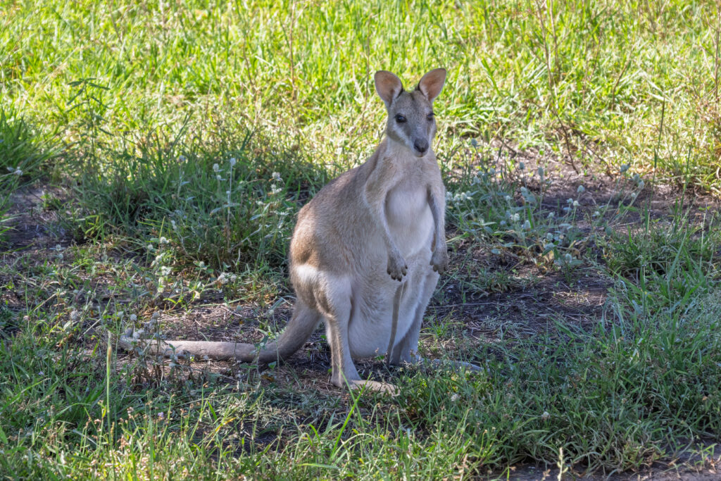
We reached the turn off for Jabiru, but this time turned left onto the Arnhem Highway (Hwy 36). Almost straight away we could tell that this highway suffered more damage during the Big Wet. As we neared the South Alligator River the landscape opened up into the Mamukala Wetlands that cover the flood plain. We pulled in at the South Alligator River boat ramp where we were just about the only vehicle in sight without a boat trailer. The car park was full of vehicles with empty boat trailers, indicating that lots of people were out fishing on a holiday Monday. In this part of the world, they certainly weren’t water skiing, ha, ha! There were also lots of wallabies grazing around the car park. More macropods than we have seen on our holiday so far.
In a further example of the lack of imagination naming the waterways in this area, we passed the east and west branches of the West Alligator River and then the Wildman River and Wildman West River, before motoring through the Northern Park Entrance.
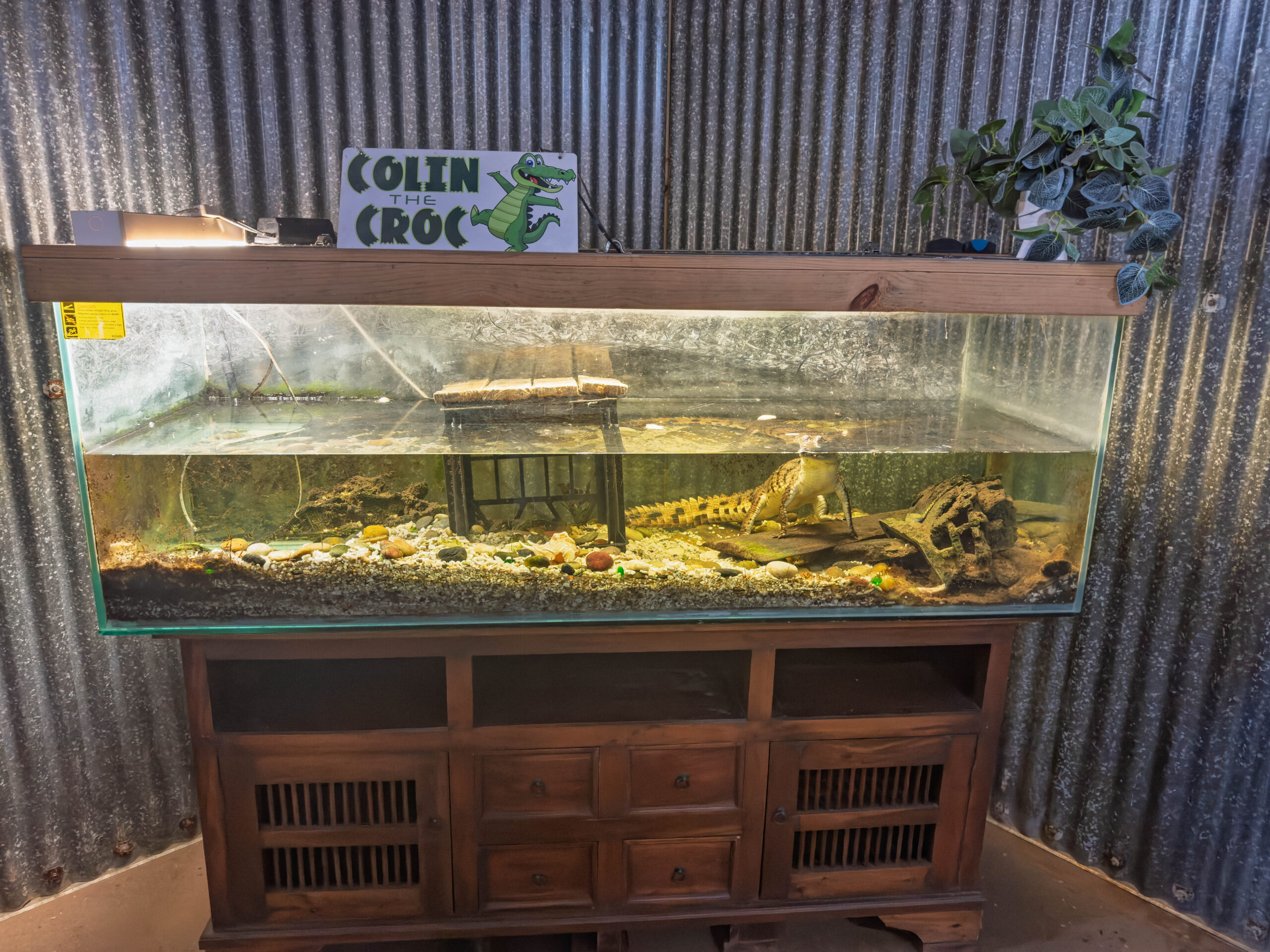
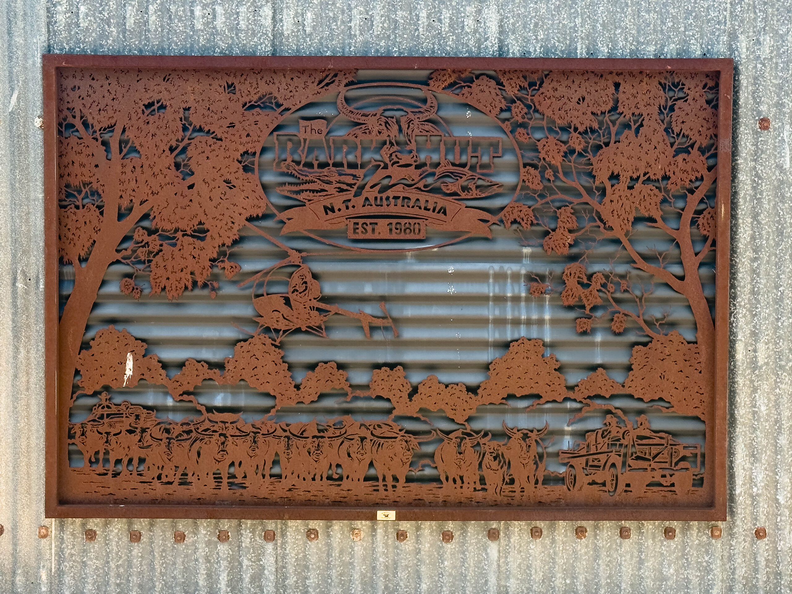
It was lunchtime when we reached The Bark Hut (and BP servo) at Annaburroo, so we pulled in for a bite to eat. There is a tavern offering full meals but we made our way through to the takeaway and souvenir store for some sandwiches. After checking out ‘Colin the Croc’ in his aquarium (I’d just as soon see the crocs in the wild) we selected our sangas and then ate them at a table out on the verandah.
Continuing on our way, I noticed Adelaide River Cruises on the map. We’ve been hearing the ads for Adelaide River Cruises for weeks, so Bernie said Google it and if there’s a cruise this afternoon maybe we could do it on our way?? I Googled and discovered that the season is not really in full swing yet, with cruises on Wednesday and Saturday only at the moment. Not to worry, the cruises are actually ‘jumping croc’ cruises so I think they bait them with chicken carcasses on a pole to make them jump?? Sounds like exploitation to me?
The next point of interest I noticed on our map was Window on the Wetlands Visitor Centre but, as we drove nearer, the signs for the centre had CLOSED signs affixed to them. Why I wondered? Is it too early in the season? Is the access road impassable? Google to the rescue again. The internet reiterated that the wetlands tourist information centre at Beatrice Hill near the Adelaide River is closed, and made it seem like it’s permanent rather than seasonal. The lookout certainly looked spectacular perched atop the hill as we drove past and we were a little disappointed that it is no longer open. C’est la vie.
We continued through Humpty Doo and hectares and hectares of mango orchards, before rejoining the Stuart Highway about 30 kilometres south of Darwin. We hadn’t seen a traffic light since Katherine, so it was a bit tedious when we had to stop at nearly every single traffic light on our way to the Darwin Discovery Park. We pulled into the park and checked in, saying hello to the office dog – a fox terrier – in the process.
Cabin 16 proved to be located conveniently adjacent to the BBQ again and, on this occasion, very close to the pool too. Although we haven’t been right into the city yet, we decided that our Darwin accommodation would mark the end of the northbound leg of our road trip. We are now 3,787 kilometres from Melbourne … if we had travelled by the most direct route. With our various side trips and sightseeing since we left home, we have actually put 6,418 kilometres on the odometer. Wow, that’s 2,631 kilometres of side trips and sightseeing!
With the truck unloaded, we made a quick trip to the nearest Woolies for some supplies. An Ampol servo was located nearby, so we topped up the tank with Amplify diesel before shopping. We seriously only popped into Woolies for a couple of things. Some $70.00 later we were loading two bags of groceries into the truck. Two bags which included an eight pack of Splices that can be stored in the full size fridge and freezer in our cabin.
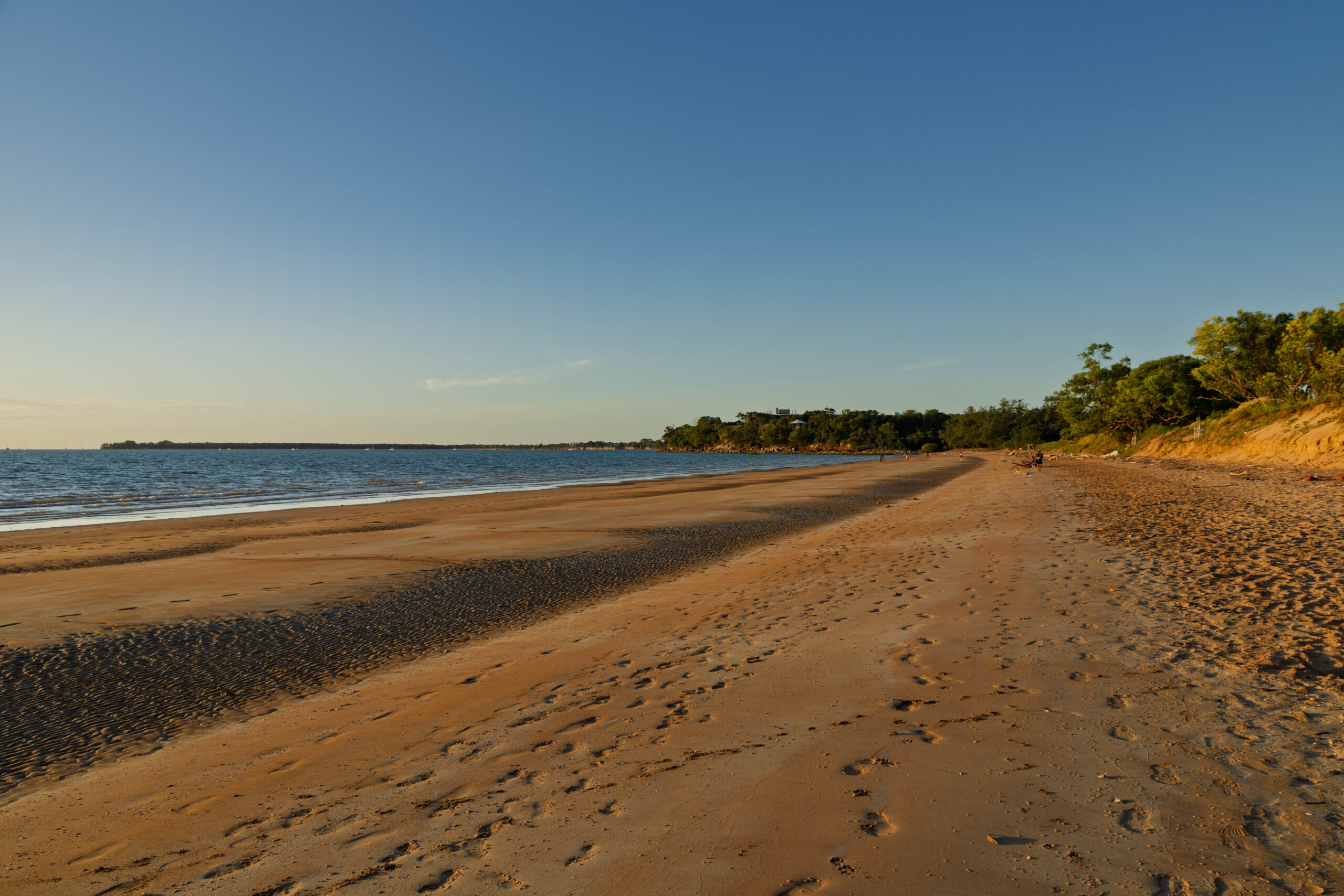
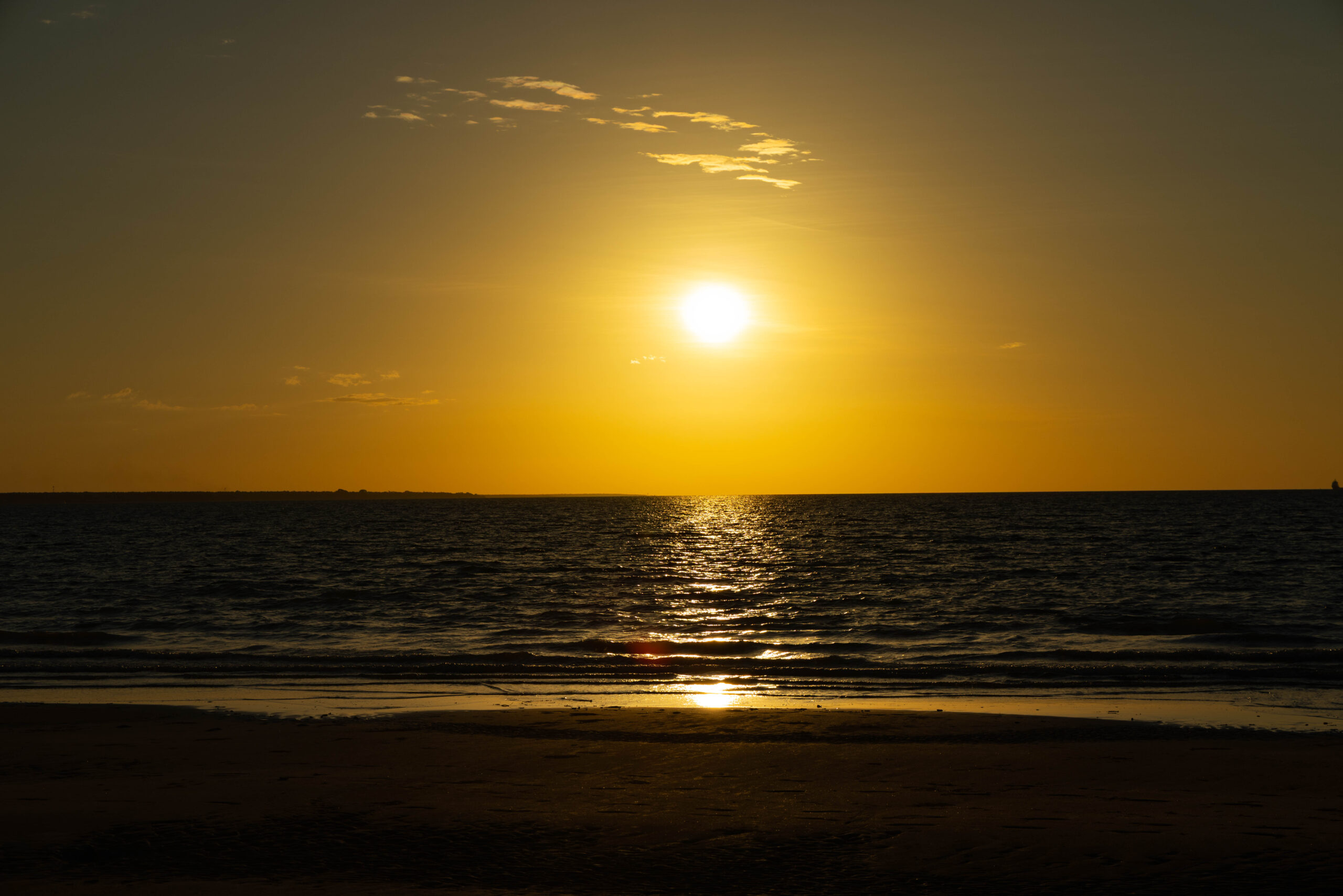
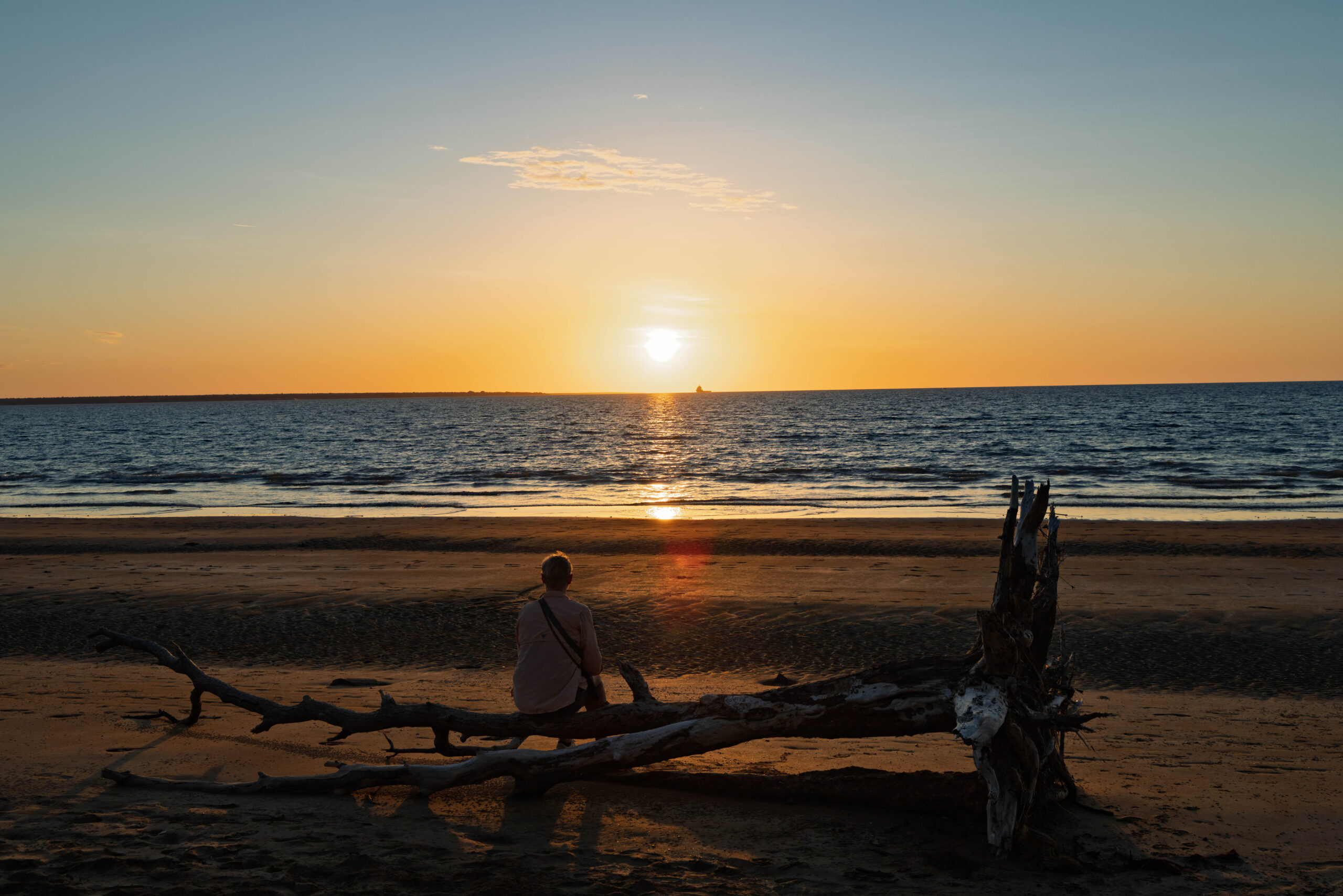
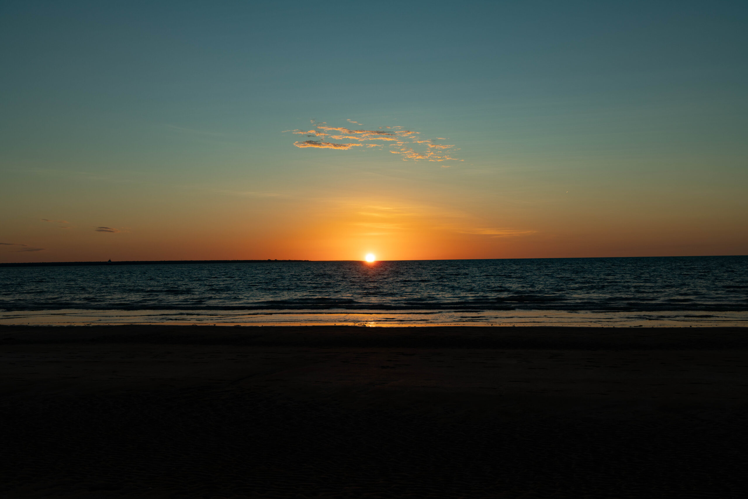
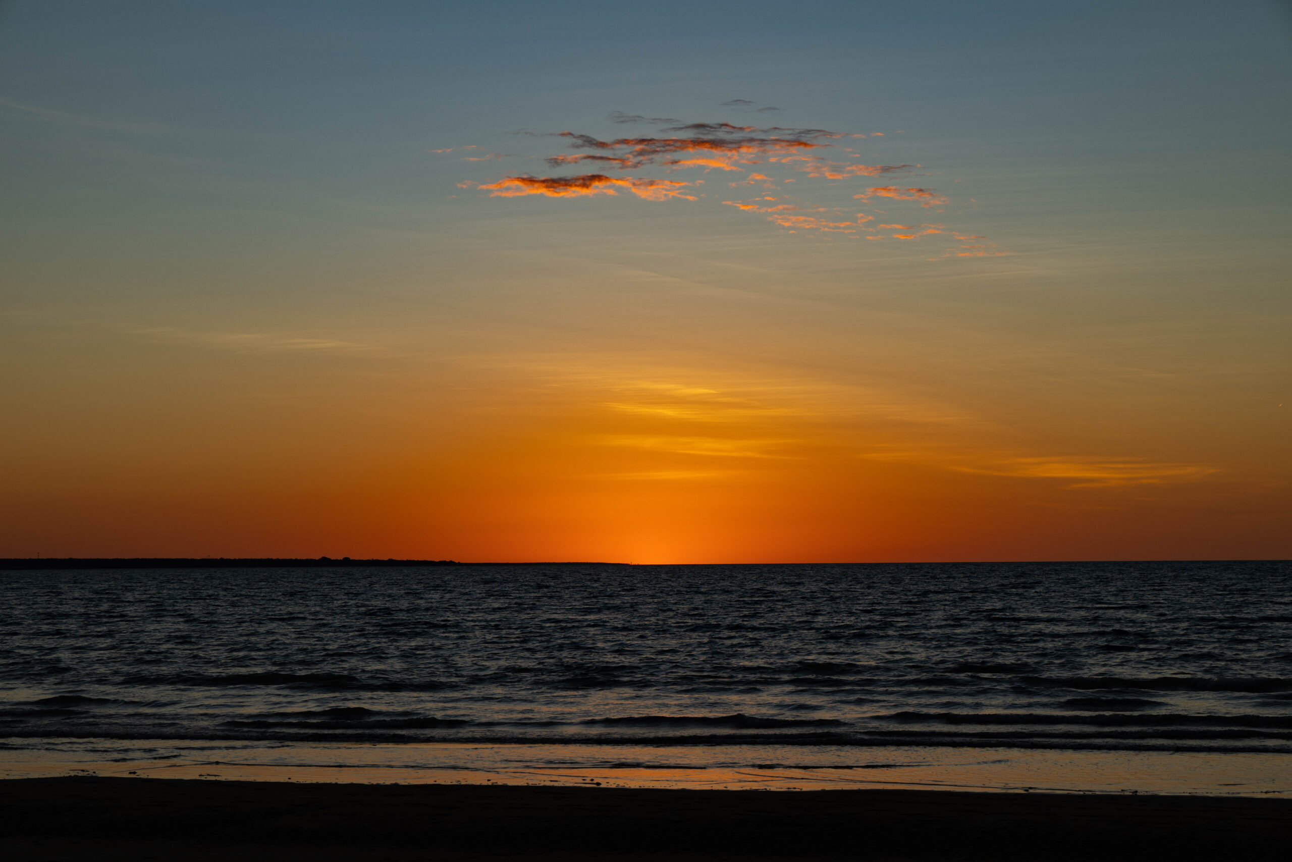
Bernie had read that the place to watch the sunset here in Darwin is Mindil Beach, so we headed out about 40 minutes before sunset. We parked in The Gardens and then struggled to find beach access. There was temporary fencing at all the gaps in the foreshore foliage with signs saying closed for dune rehabilitation. We eventually took an unauthorized, but obviously well used, ‘track’ to the beach. From the beach side it was fairly obvious that the beach access points have taken a battering, presumably during Cyclone Narelle? We found some driftwood to sit on, a whole uprooted tree in fact, and made ourselves comfortable to watch the sun sink below the horizon at 6.32pm.
Back at the Discovery Park, Bernie started looking at the logistics for plugging in the second battery to keep the car fridge and freezer going. Initially it looked like he was going to run his extension lead (doesn’t everyone travel with an extension lead?) through the door to our cabin overnight. Ahem, not great from a security point of view! However, he then found an outdoor power point over on the side of the BBQ area. The far side, of course. He now has the extension lead attached to the power lead for the mains charger for the spare battery, attached to the lead with the Anderson plug that plugs into the battery. Do not ask me how many metres of cabling he has rigged up out there!! It’s doing the job which is the main thing.
The cooking facilities in our cabin are rudimentary but I managed to cook up some chicken schnitzels from our car freezer, with potatoes, carrots and snow peas. Although it was a challenge, it was lovely to have a ‘home (away from home) cooked’ meal.
Steps: 5,562 (3.51kms)