Friday, 8 May 2026
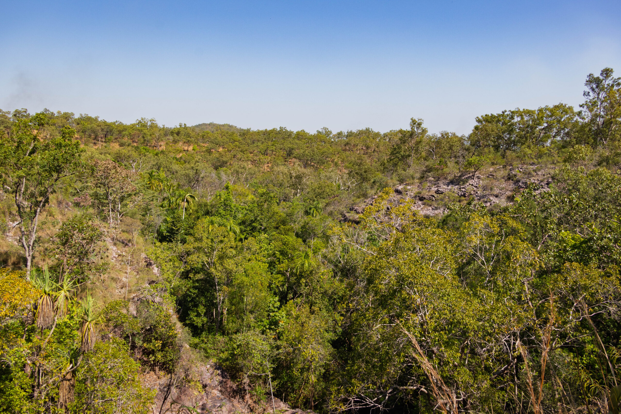
This morning we left Darwin behind us and headed south-west towards Litchfield National Park. We drove out through Palmerston before turning onto Channel Island Road. After zig-zagging on Jenkins Road and Finn Road, we turned onto the Cox Peninsula Road. The roads were a bit rough with potholes washed out during the wet season but, on the whole, not too bad.
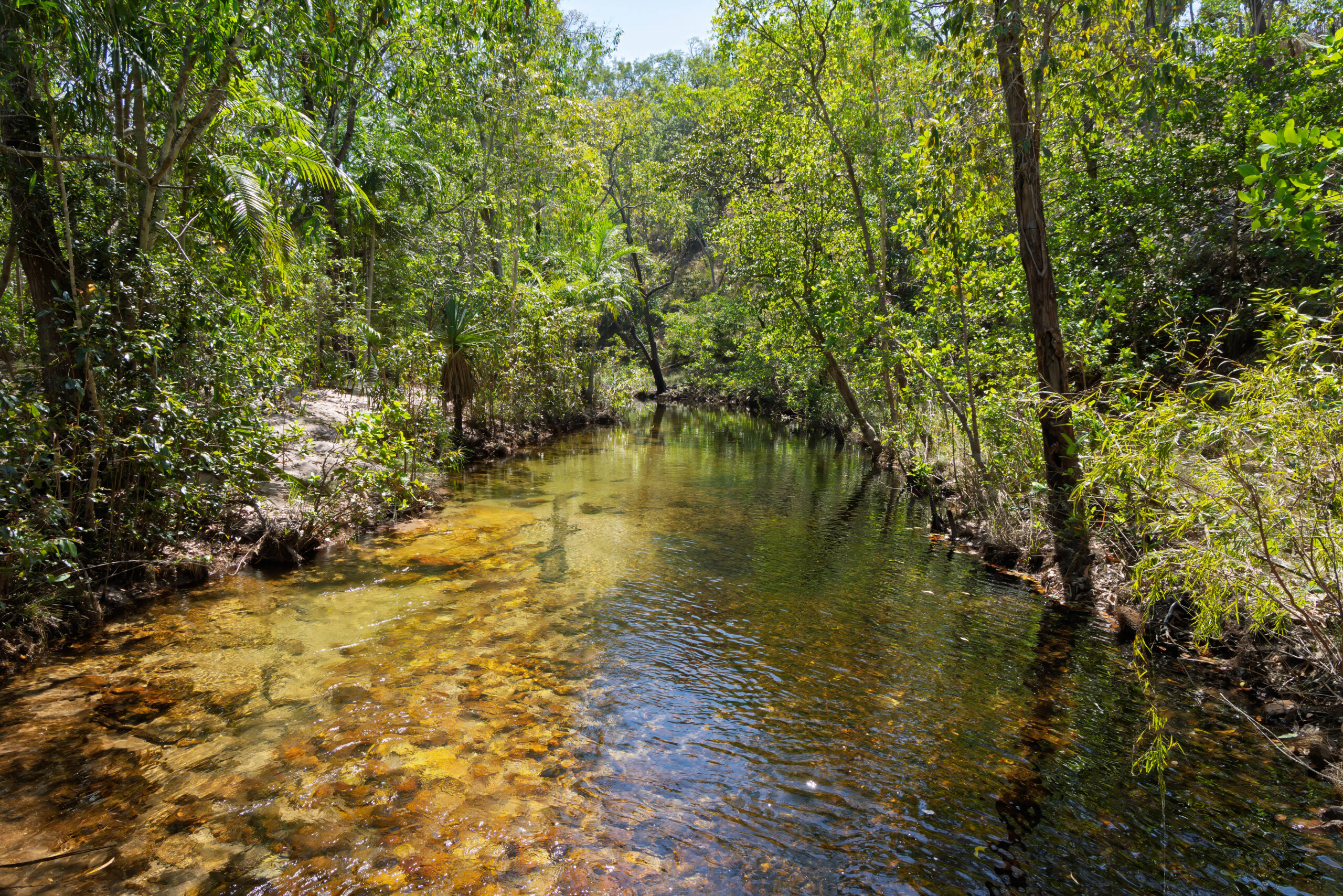
Motoring along, we caught up to a truck with a digger on the back. Fortunately, when we reached the turn off for Litchfield Park Road, we turned left and the slow truck continued straight on. We almost drove straight past the turn off for Walker Creek, because we expected it to be closed. The map that we were given eight days ago in Katherine did not have Walker Creek highlighted as open. However, eight days has made a difference and this stop is now accessible.
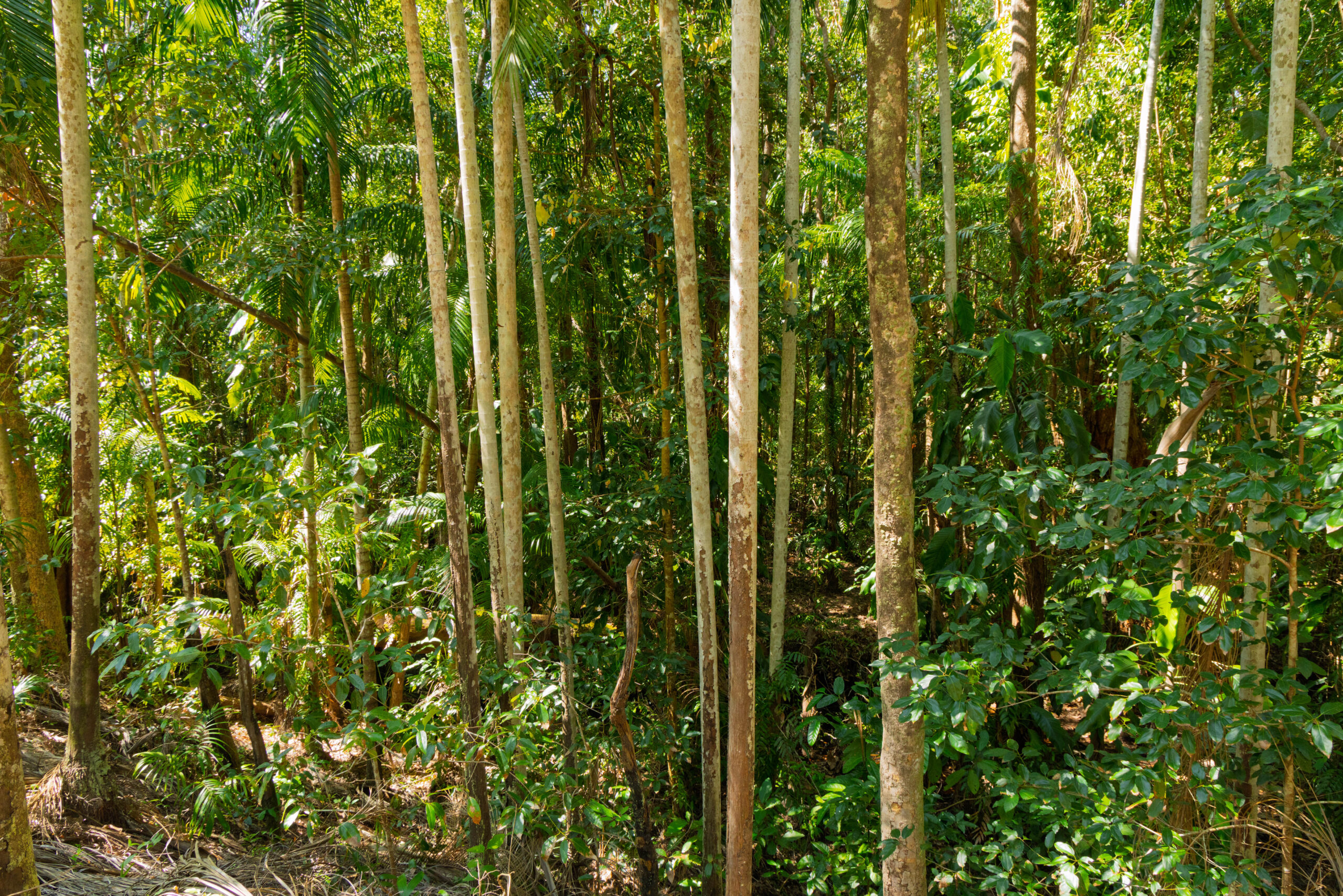
We parked the car and used the facilities, before setting off on a short walk beside the creek. There were a few designated wild swimming spots here, but we decided we would just walk. We arrived at about the same time as a bloke who appeared to be checking the work that has been completed to restore the walking path. He didn’t ask our opinion but we were impressed with the newly installed path. Already we were feeling that more progress has been made on restoring tracks here than at Kakadu. We walked as far as a small waterfall and then returned to the car park.
At the turn off for Channel Point Road, there was a sign for Kin Café. It was about time for lunch, so we drove in to check it out. A surprisingly good little café, pretty much in the middle of nowhere. We were expecting to have to dig into the pantry box today but … we didn’t have to.
Our next stop was at Cascades. There is a Lower Cascades Walk and an Upper Cascades Walk. The Lower Cascades Walk is a shorter walk, so we were hoping to do that one. However, it’s closed during wet season – and for a while afterwards – because the flooding lets the crocodiles come up into the creek. Apparently they monitor at risk areas at the end of the wet season and trap and relocate crocodiles if necessary, before re-opening the walks. We decided it was too hot to do the longer walk as our map/guide warned that the walk is very hot and exposed as it takes walkers up onto the Tabletop Plateau.
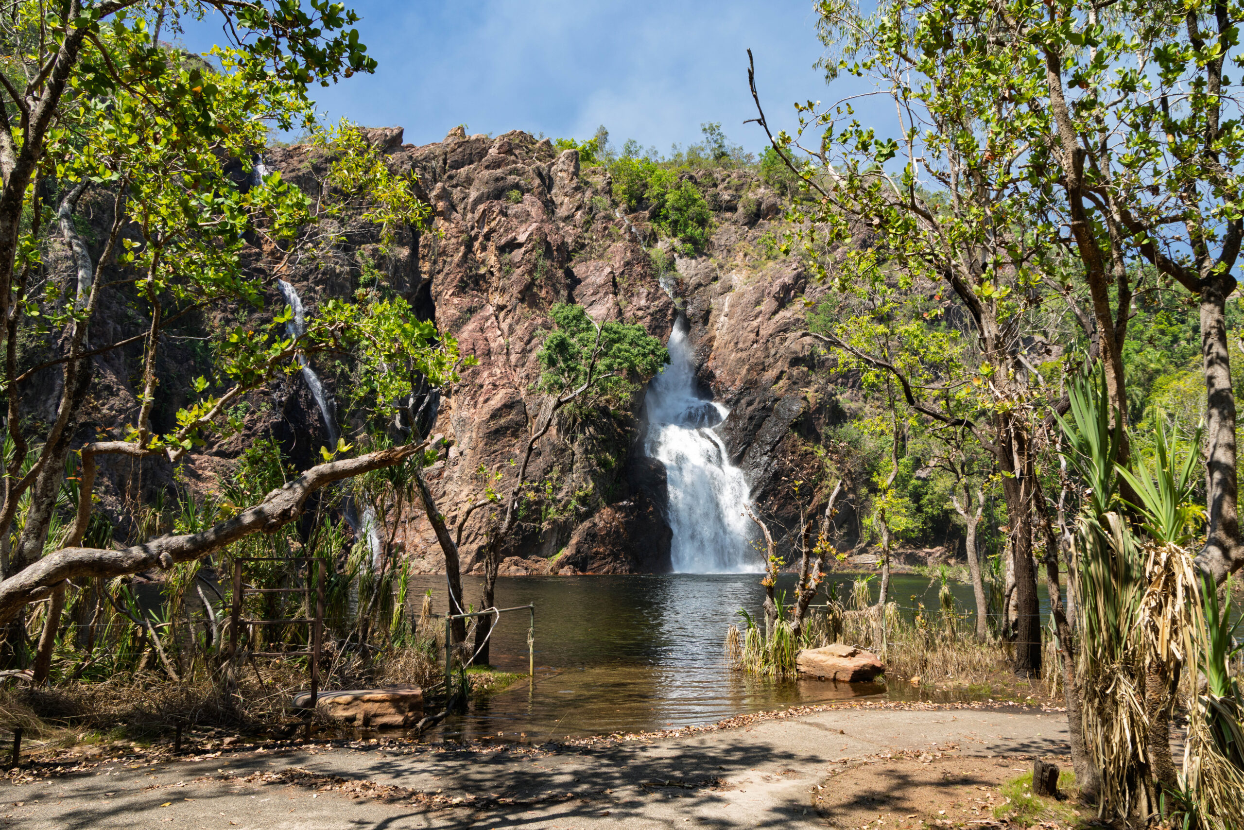
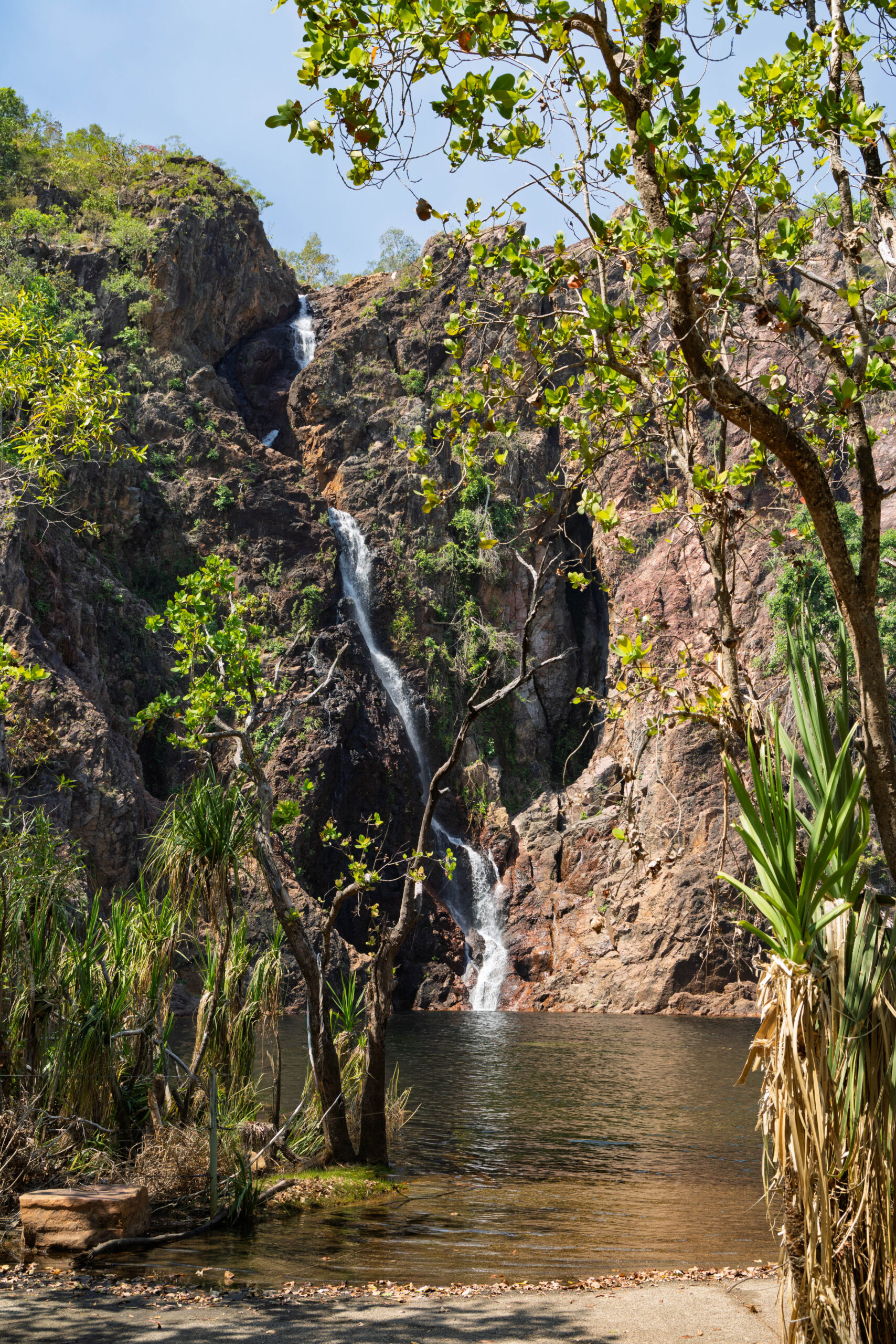
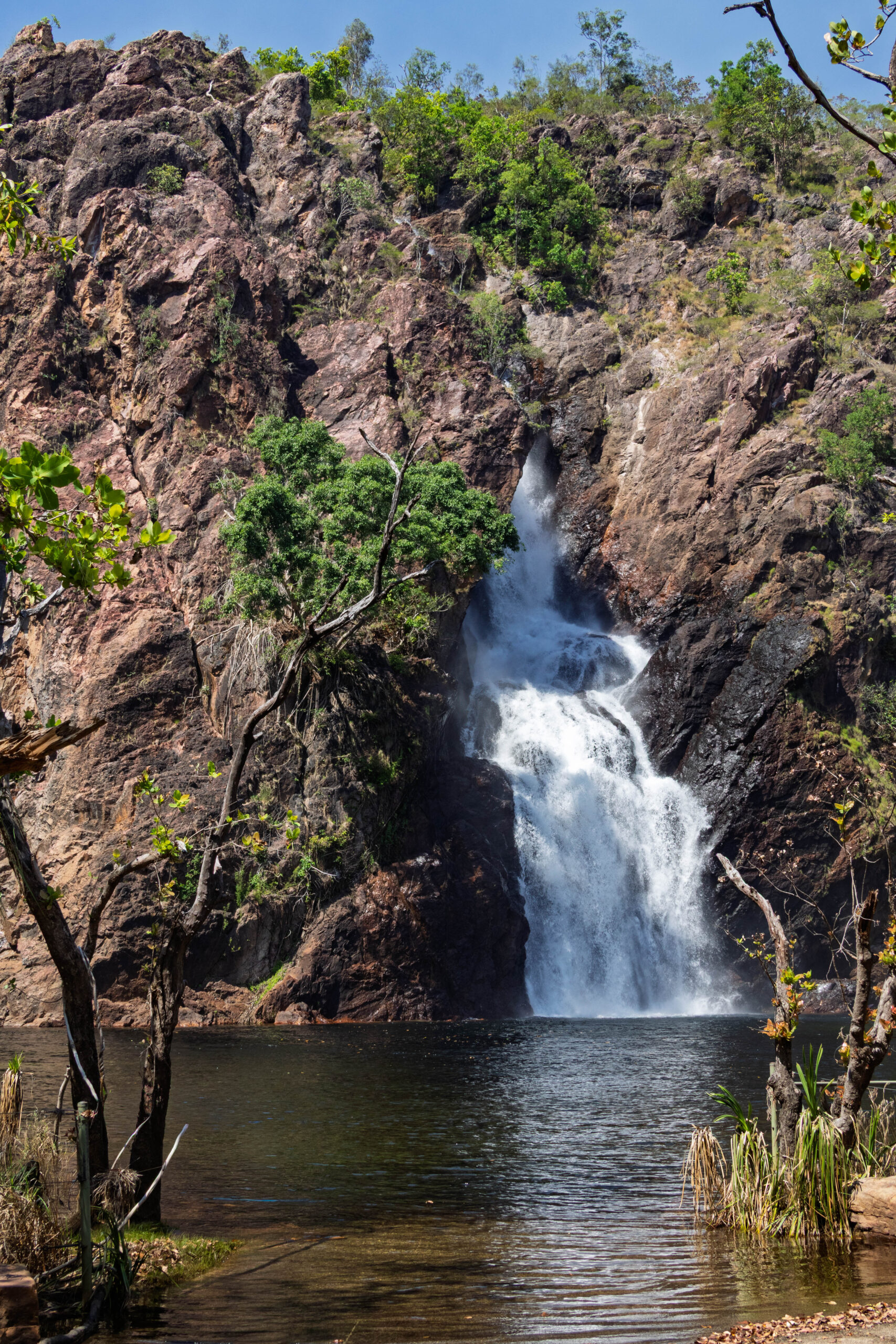
Onwards to Wangi Falls, one of Litchfield’s largest and most accessible waterfalls. The facilities here were very new and modern looking and, there was another café! The falls were still thundering from a great height into the deep pool underneath, but the plunge pool has not yet been declared safe for swimming and, frustratingly, the boardwalk leading to the viewing platform was being repaired. We still had an obscured view of Wangi Falls though and could appreciate the power of the water gushing over. As we walked back to the car park, we decided to detour via the café to check out the ice-cream freezer. Woo hoo, Splice o’clock! That made up for the disappointment of our obscured view of the waterfall.
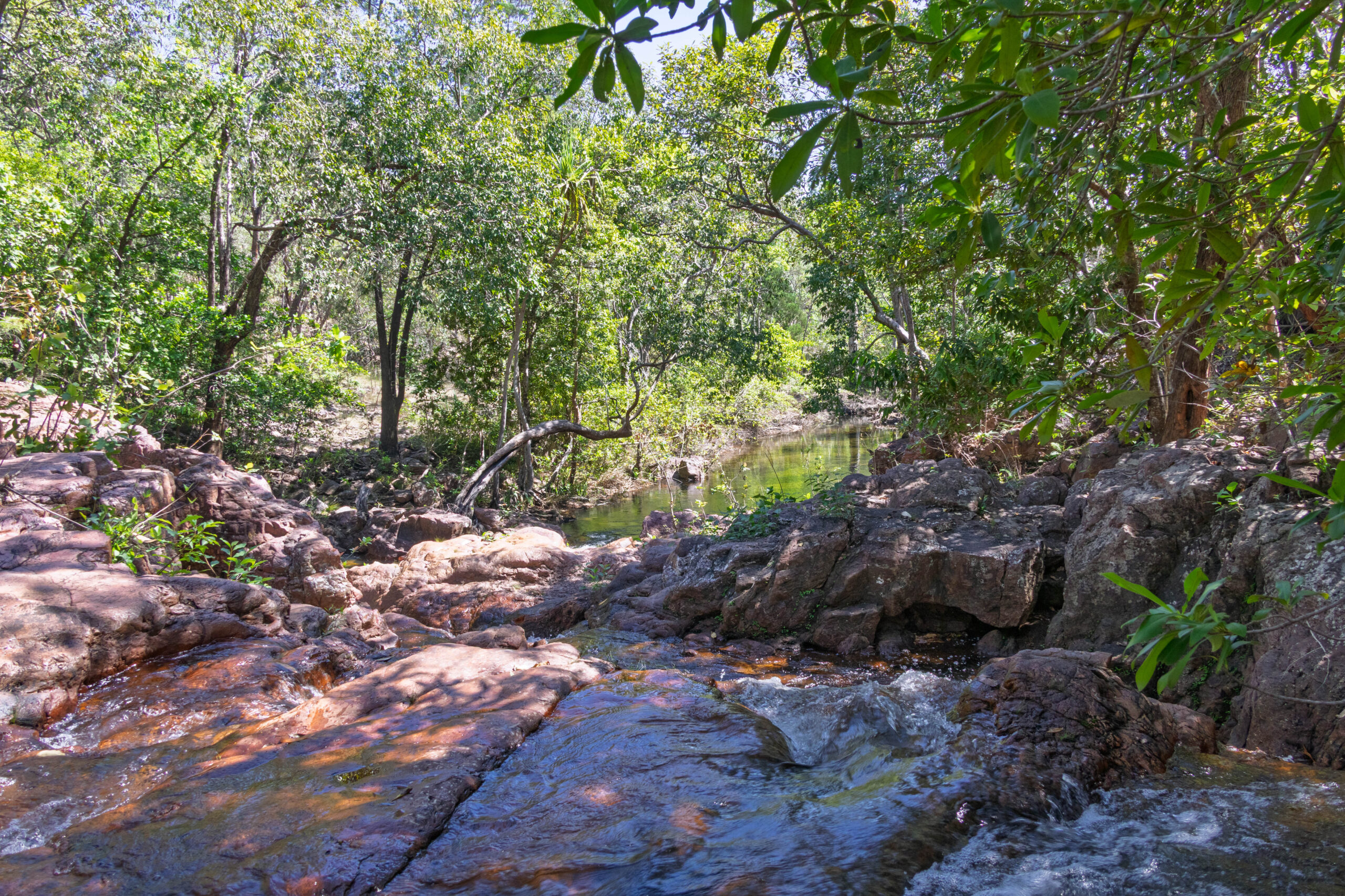
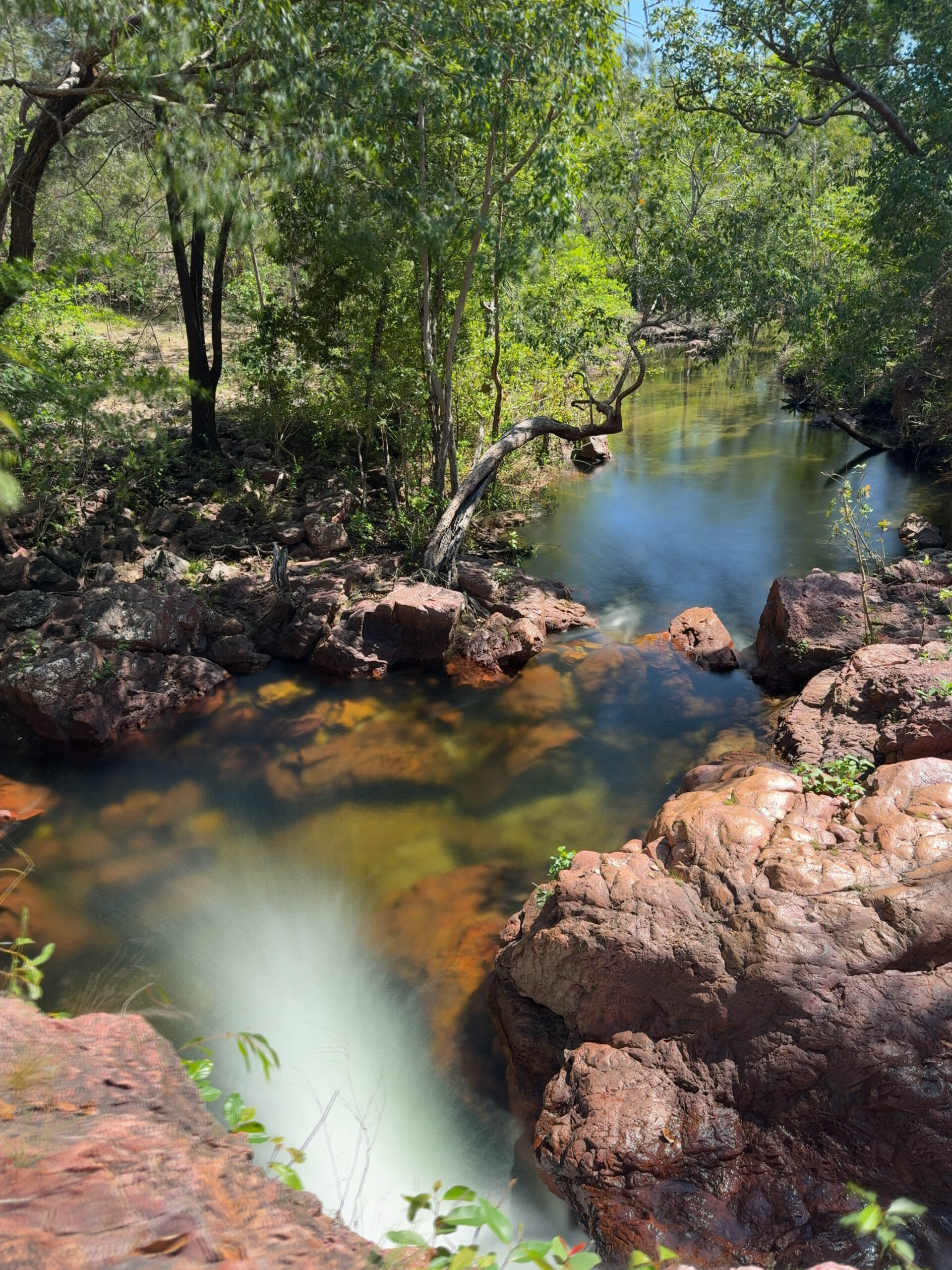
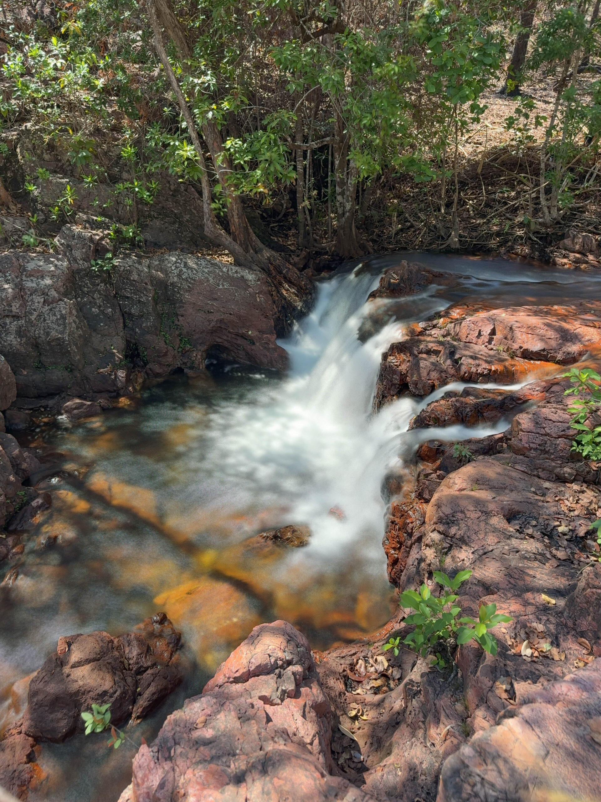
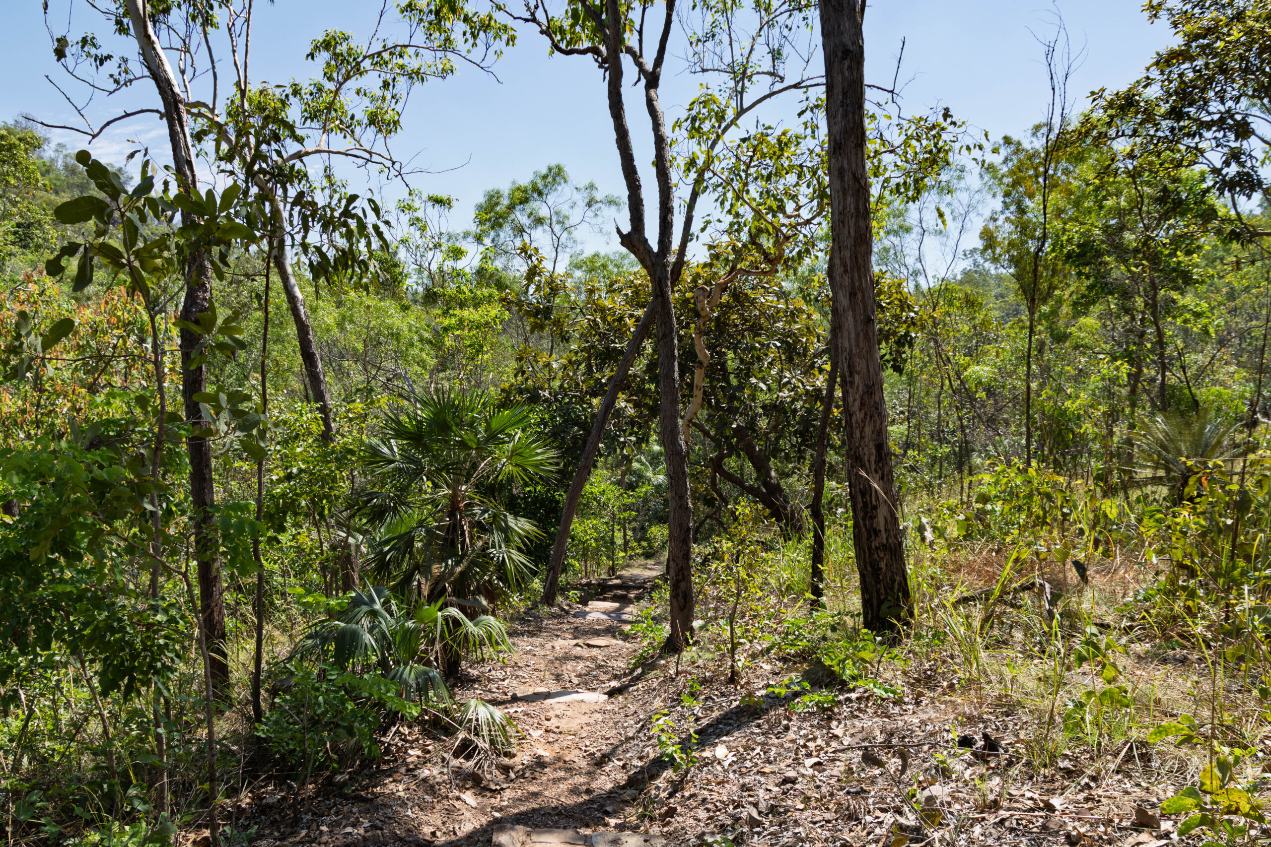
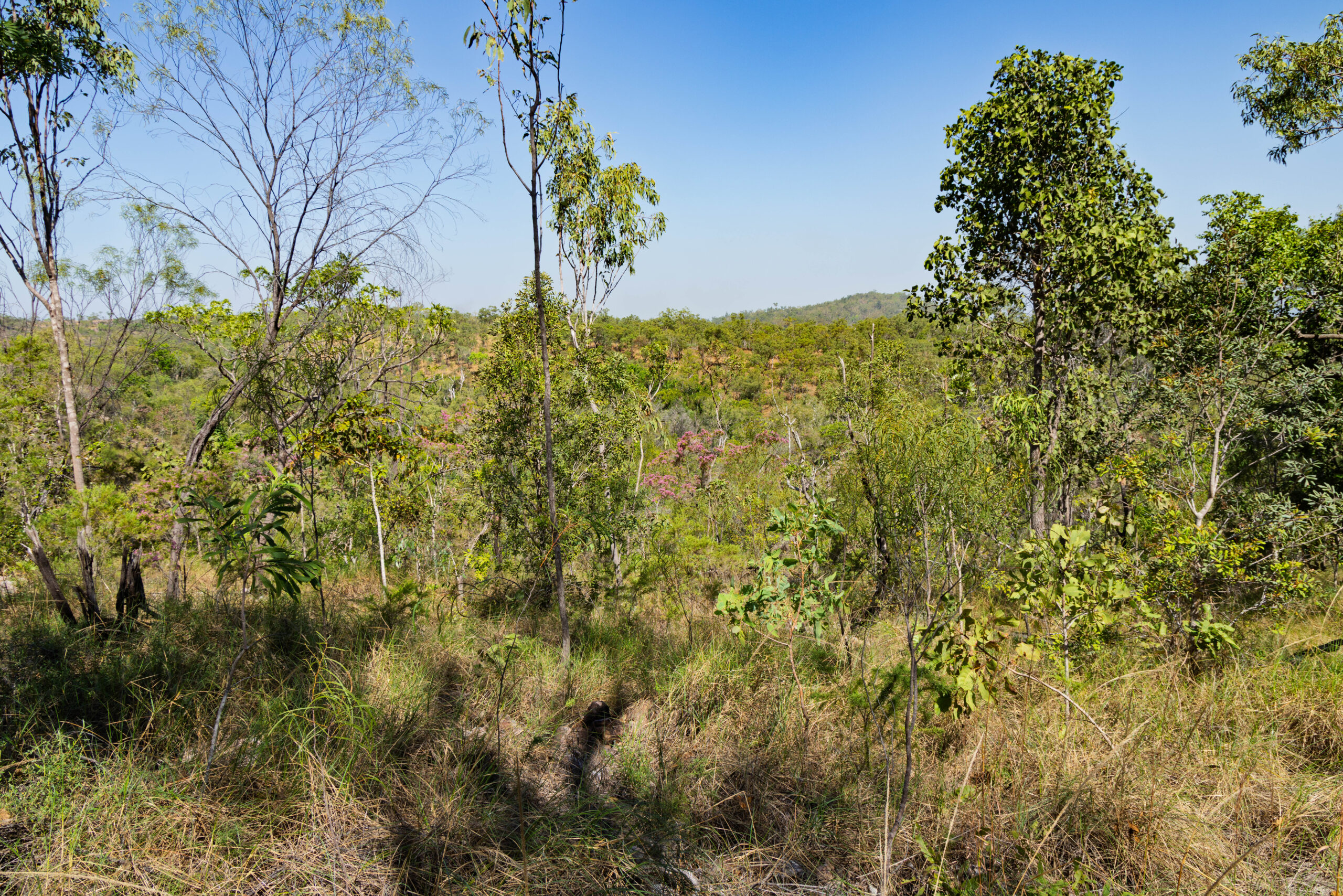
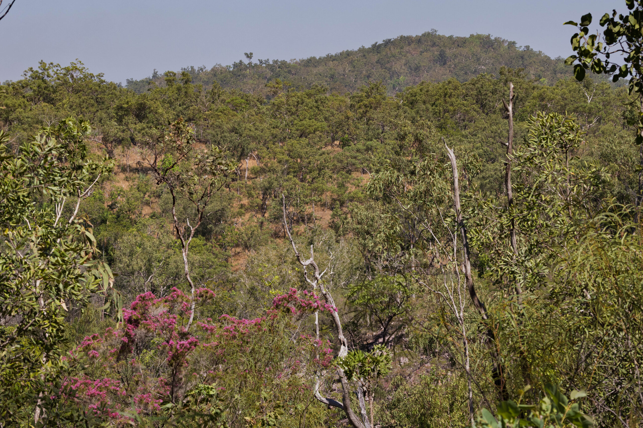
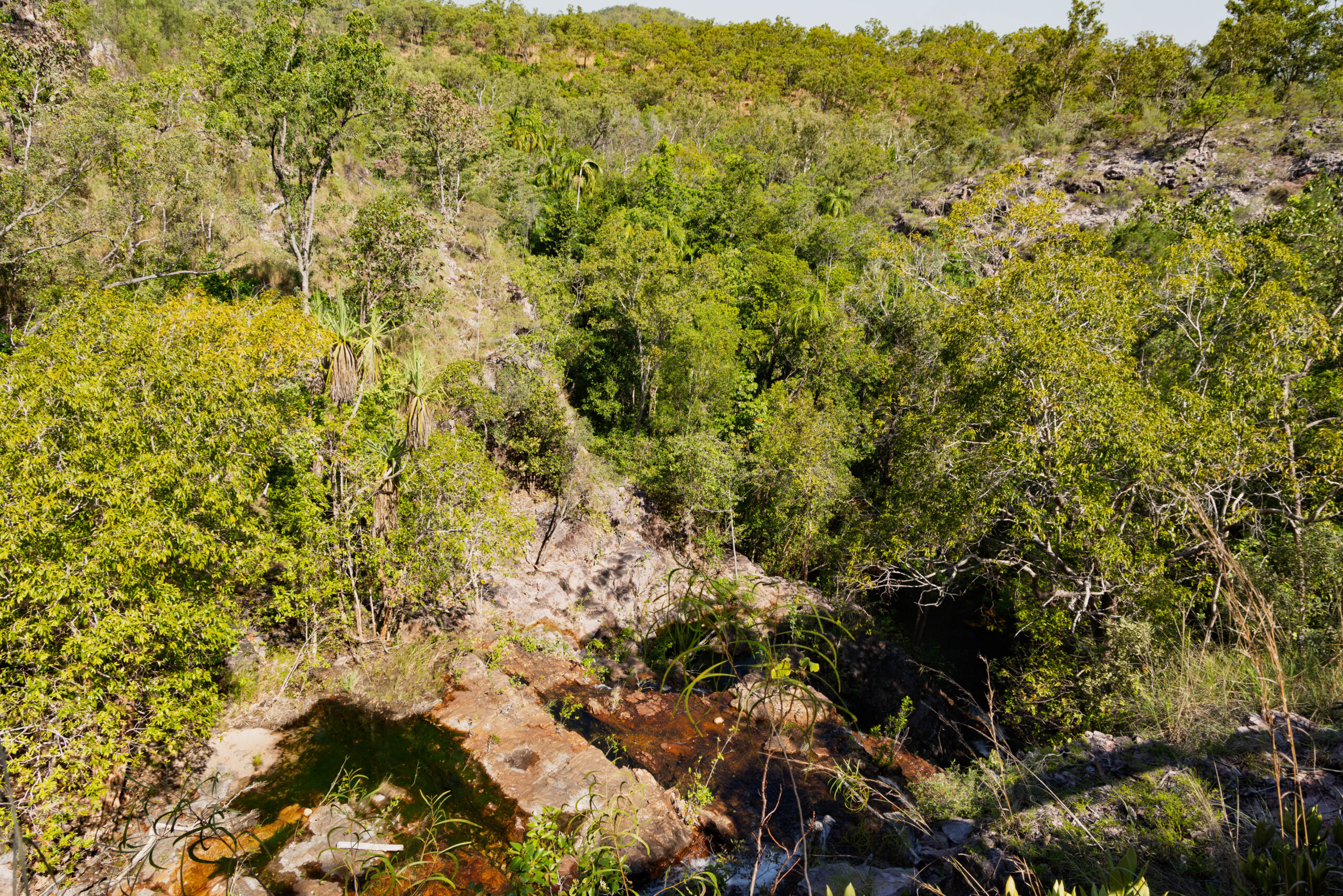
Back on the road, we passed the turn off for the Reynolds River 4WD Track and … the gates are still closed, which confirms that we won’t be able to access any of the sites in the southern part of the park. Just around the corner from the turn off, we found the car park for Greenant Creek. From the car park we headed off on the Tjaetaba Falls Walk. This walk was a 2.7 kilometres return walk rated Grade 3 – moderate (steep in sections).
There were a couple of rangers at this stop. I had the impression that an experienced ranger was introducing a new ranger to the park. The (new) female ranger says to us – we’re doing controlled burns don’t freak out about the smoke. The male rangers says – there’re are a few arsonists up here today, we’ve run into three so far. Typical bloke, joking around about a serious matter!!
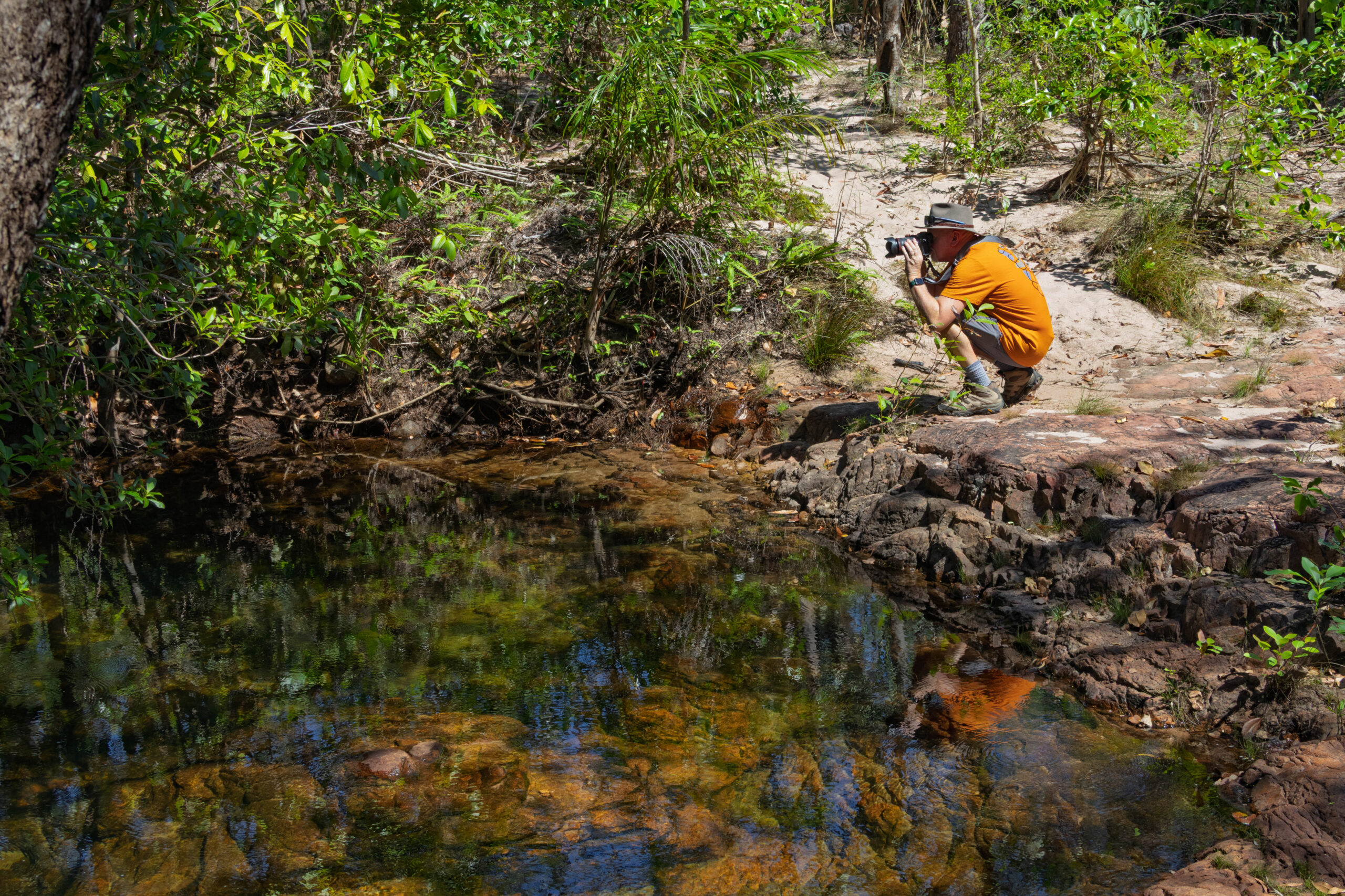
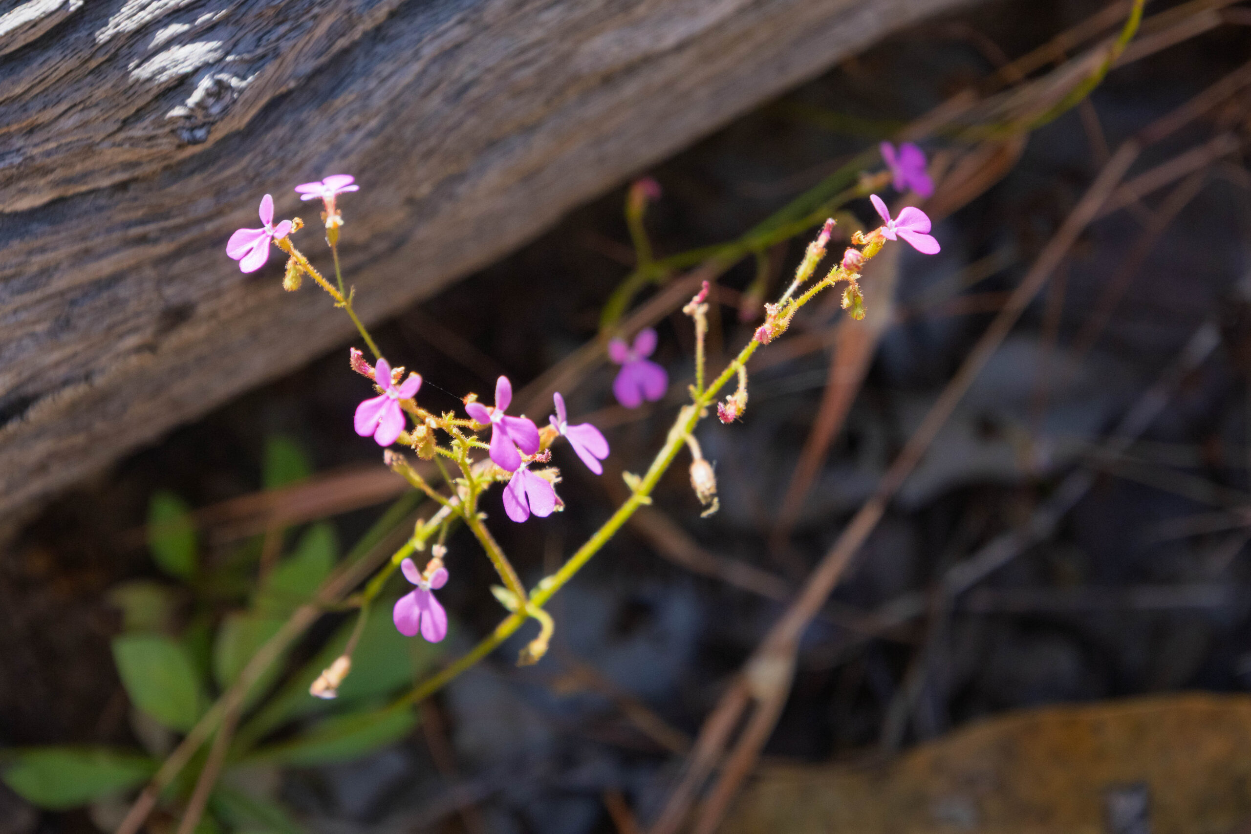
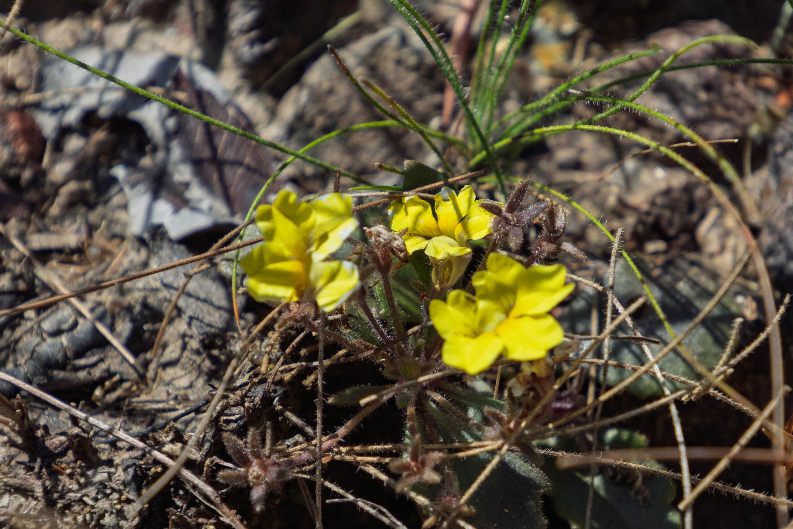
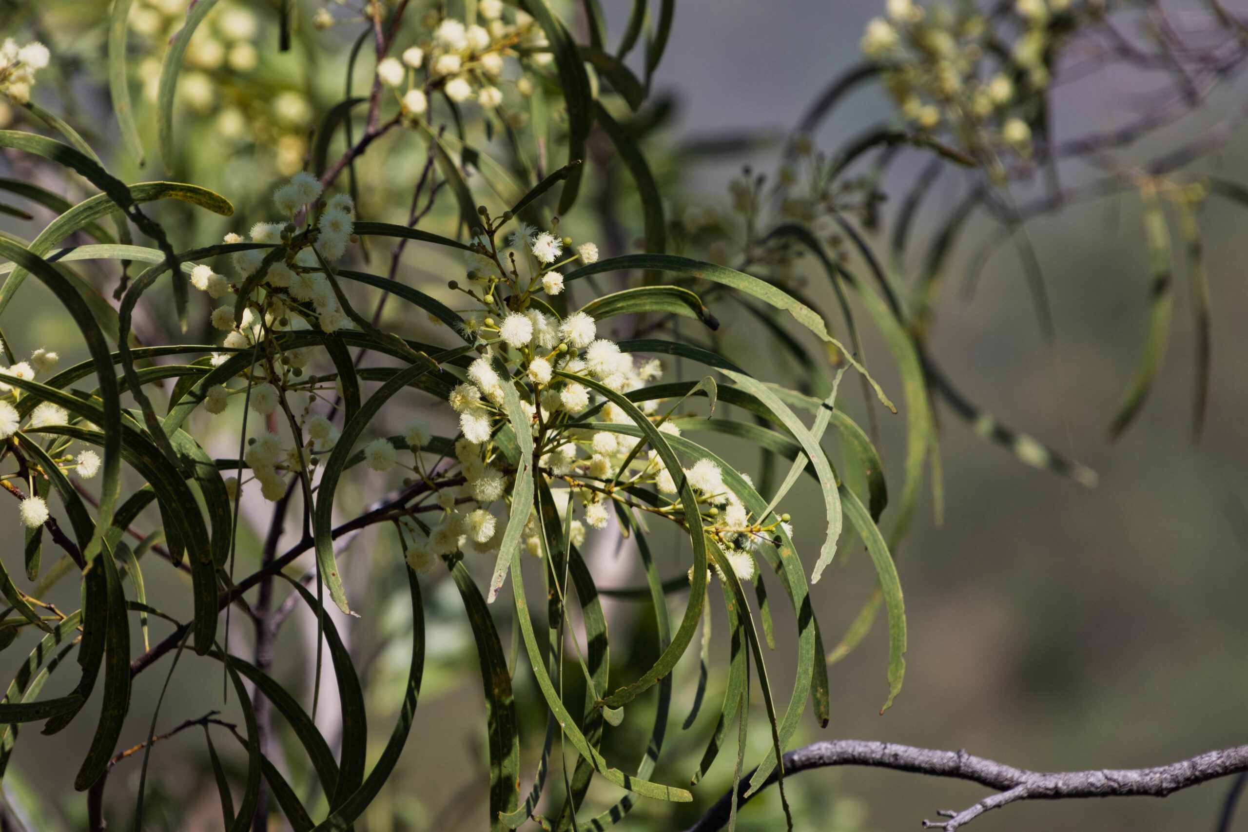
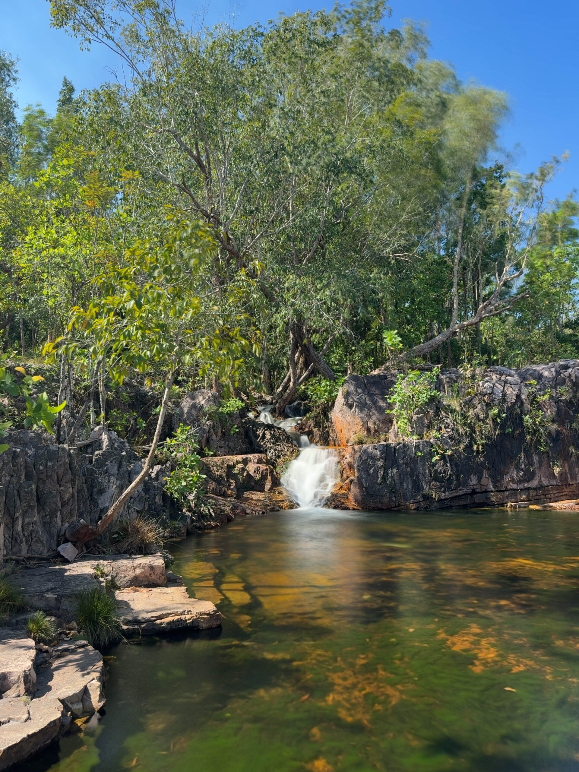
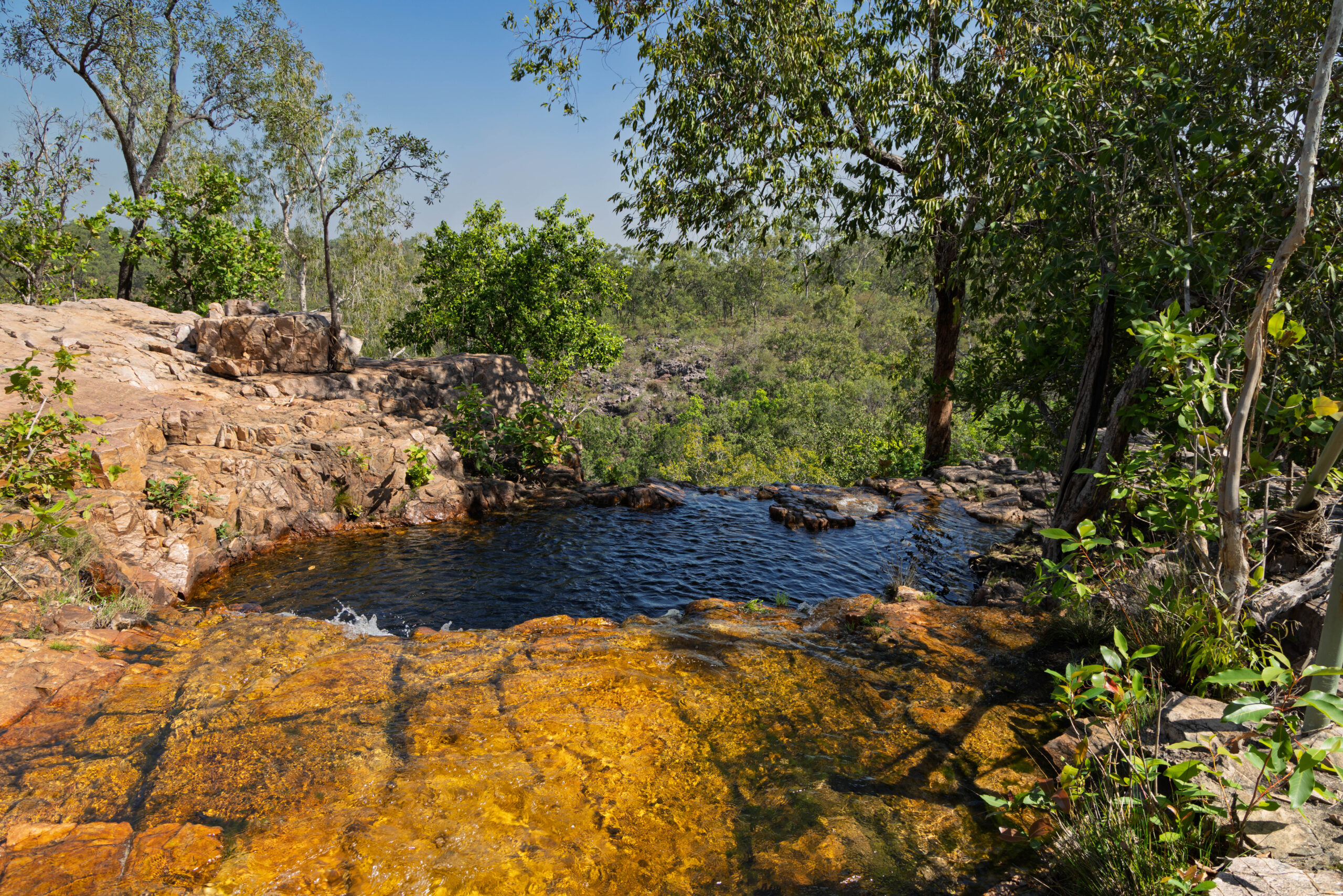
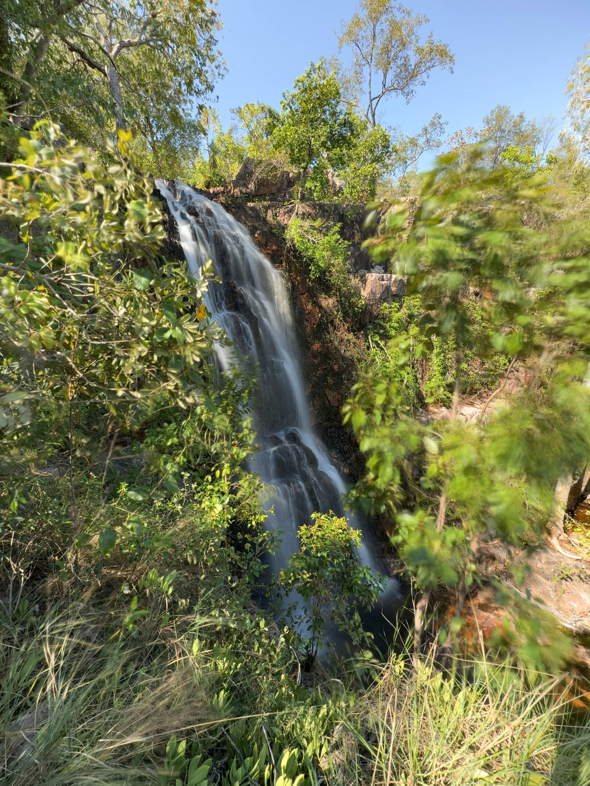
The walk starts in lovely, shady monsoon forest beside the creek, then transitions into savannah woodland as it moves away from the creek and starts to climb towards the falls. We walked all the way to the top of the falls where there is a small pool that our guide suggested dipping toes into to cool off. Although it went on to advise against swimming, we had seen a few people heading back along the path looking like they had been swimming, and there were a couple of people still enjoying the pool when we arrived. We satisfied ourselves with a couple of photos. Starting on our return journey, we clambered down to the lookout for the falls, with this section being the steepest part we had to tackle.
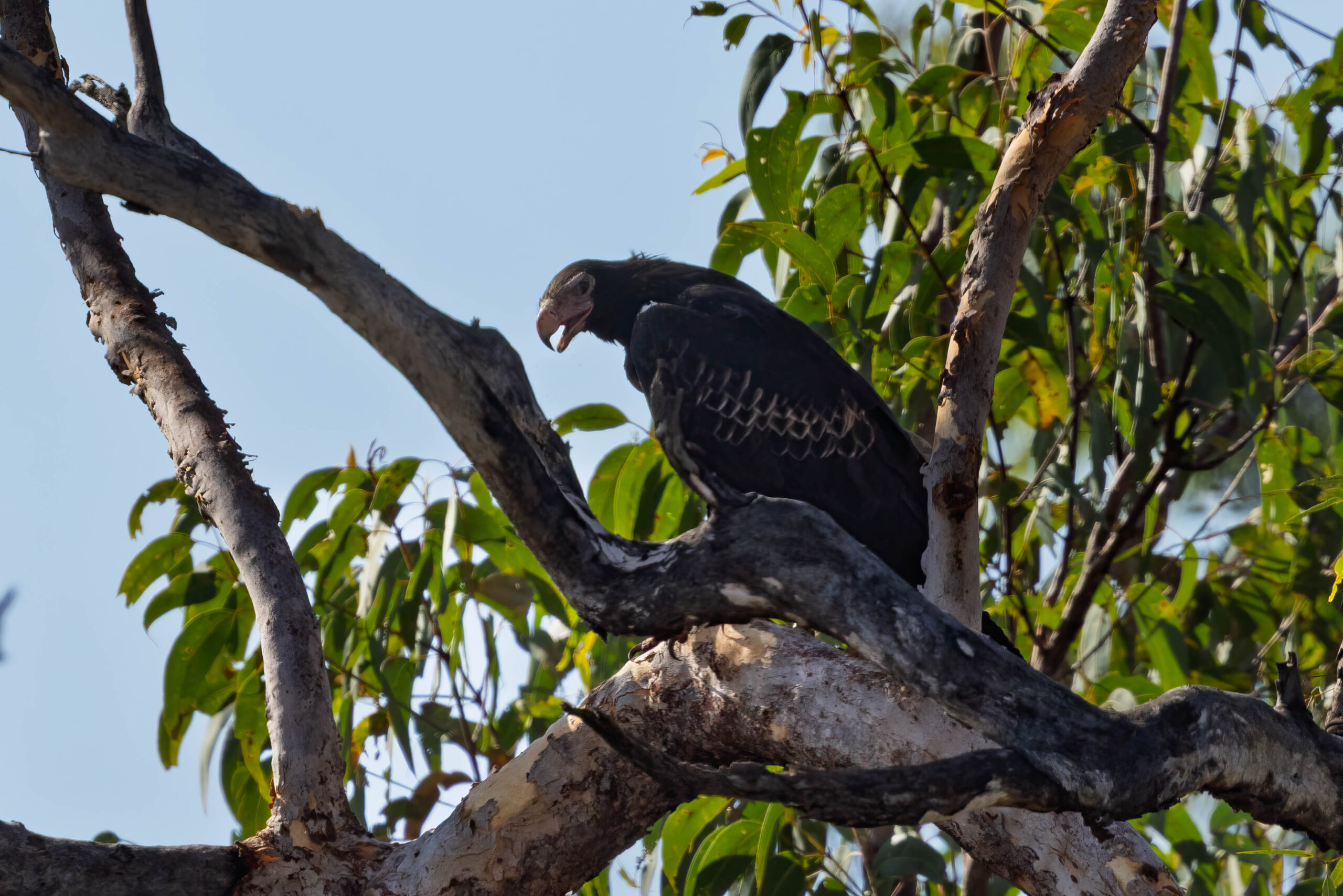
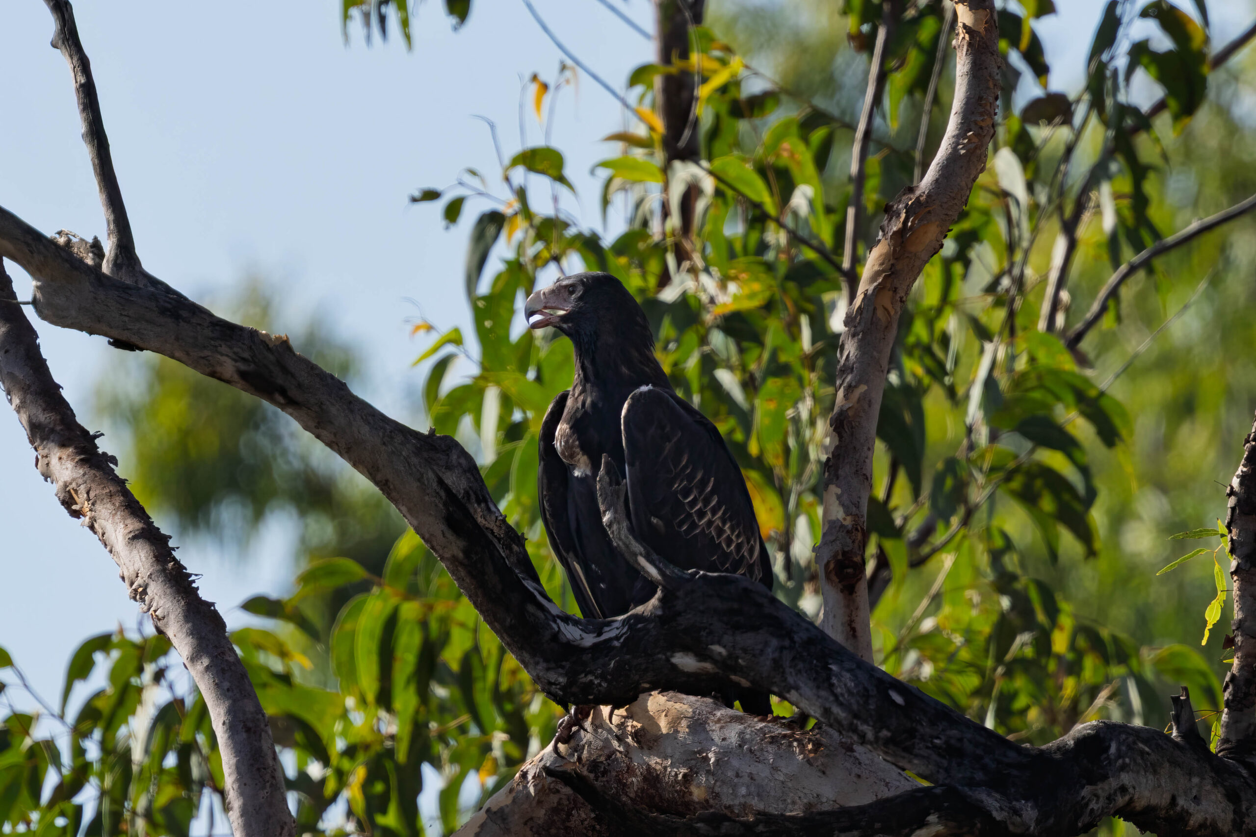
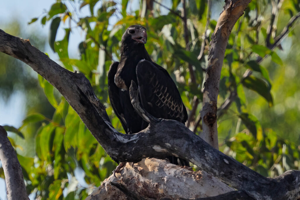
Back at the truck, we decided we had probably seen enough for today and that we should head to Rainbow and the Litchfield Outback Resort to get checked in and have a dip in the pool. On our way we saw a flock of black cockatoos fly over the road and then, closer to Rainbow, a wedge-tailed eagle on the side of the road. Bernie executed a U-turn and we pulled up in some shade on the other side of the road to try for some photos. Unfortunately, it was a bit spooked and flew up into a tree where it blended into the shadows a bit.
OMG, I had another incident with drinking water today. A week or so ago, when unpacking the box of water from the car, I managed to catch the spout on something and pull it out as I lifted the cask out of the footwell, flooding the rear footwell of the truck in the process. Luckily Bernie has installed moulded rubber mats in truck! This afternoon, I went to put something in our bar fridge. When I opened the door the rail on the shelf on the inside of the door failed and the jug of water stored on the door fell out and spilled over the floor of our room. Thank goodness it was on the tiled section of the room!!
After mopping up the water with our bathmat, we swam, we showered, we went to dinner in the Lil’Ripper Bar & Bistro.
Steps: 11,673 (7.66kms)