unday, 7 June 2026
Who needs an alarm clock when there are corellas resident in the caravan park? We were woken early this morning by the raucous cries of a flock of corellas making ready to face their day. Just a shame it was a bit earlier than when we wanted to be ready to face our day, ha, ha.
With a washing machine in our cabin, we made good use of it and washed a load of washing and hung it out to dry, before heading out for some sightseeing around the Karratha-Dampier area of the WA coast. The park also had lots of line space for hanging washing, which made a nice change. Often it’s easy to WASH clothes but, not so easy to DRY clothes. The ‘streets’ here have sites backing onto each other with washing lines in between the sites. There were even pegs on the line!
With our domestic chores caught up on, we headed out to drive over to the Nganjarli-Burrup Peninsula to visit the Murujuga National Park. We drove out on the Dampier Highway which heads past the Karratha Airport and over the water to the peninsula. It appears that building this road has created a shallow area between it and the natural neck of the peninsula for salt farming. There were evaporation ponds on both sides of the road, many with cartoon characters displayed in them. One even had Elvis! It’s hard to say whether these have been placed by Dampier Salt Limited or if locals place them for a bit of a laugh?
We turned out onto the Burrup Peninsula Road, heading for a site that is renowned for its Aboriginal rock art dating back 50,000 years, and we were surrounded by BIG INDUSTRY. Being from Victoria, I don’t think either of us really understood the vast amount of mining going on over here in WA and the impact that the export facilities have on the landscape, let alone the mining itself of course. We haven’t seen the mines that are further inland, or the gas project that is offshore, but we are certainly seeing the infrastructure that goes with these ventures. The juxtaposition of 50,000 years of indigenous history with the natural resources industry was somewhat jarring.
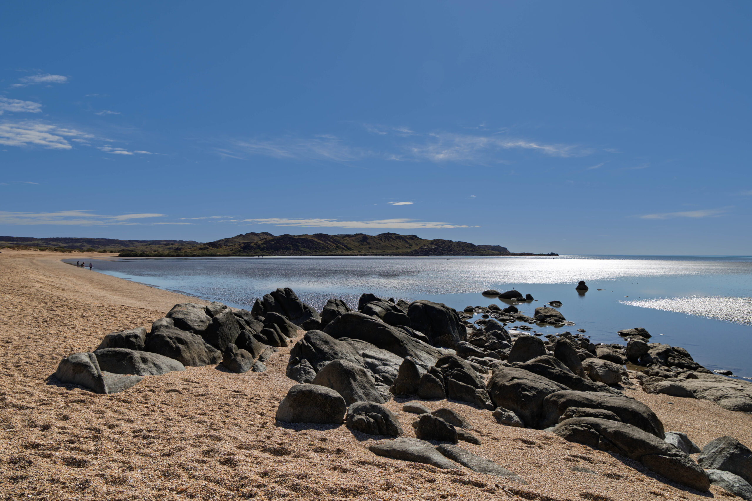
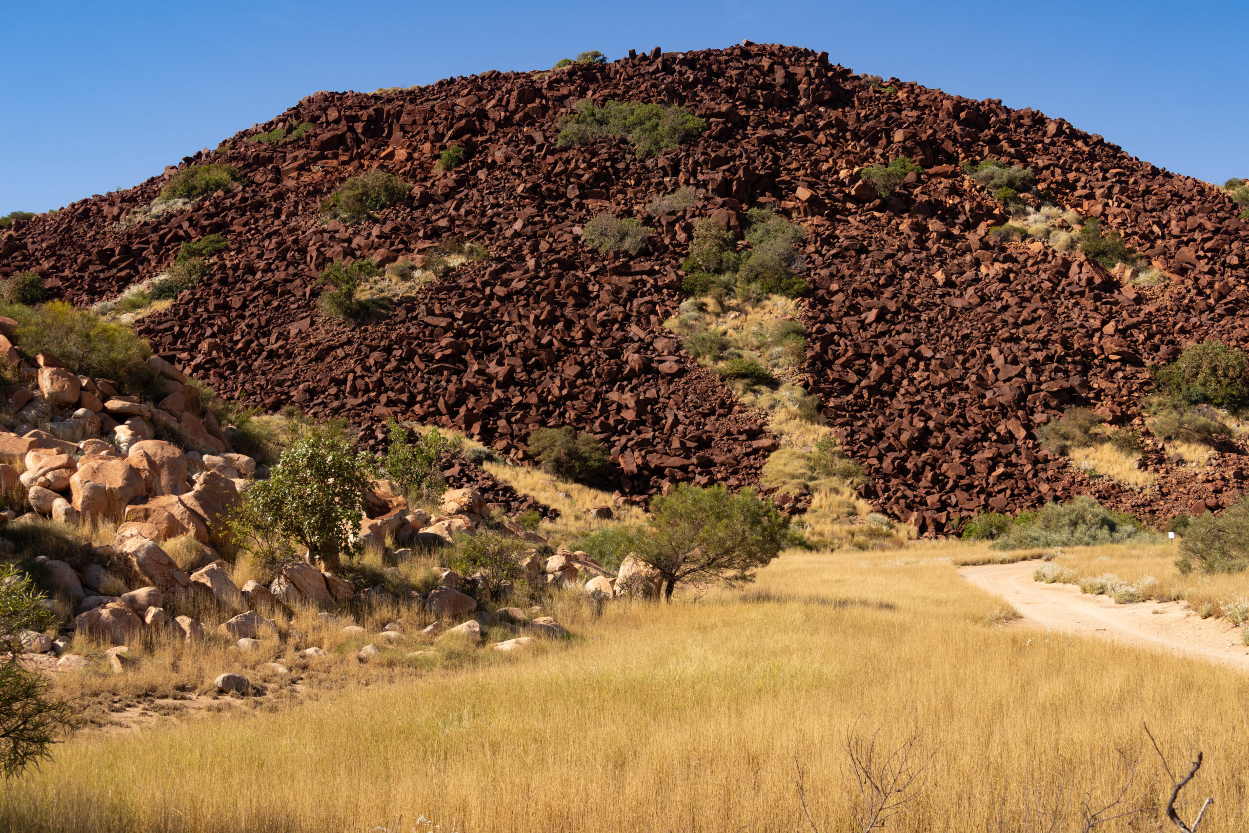
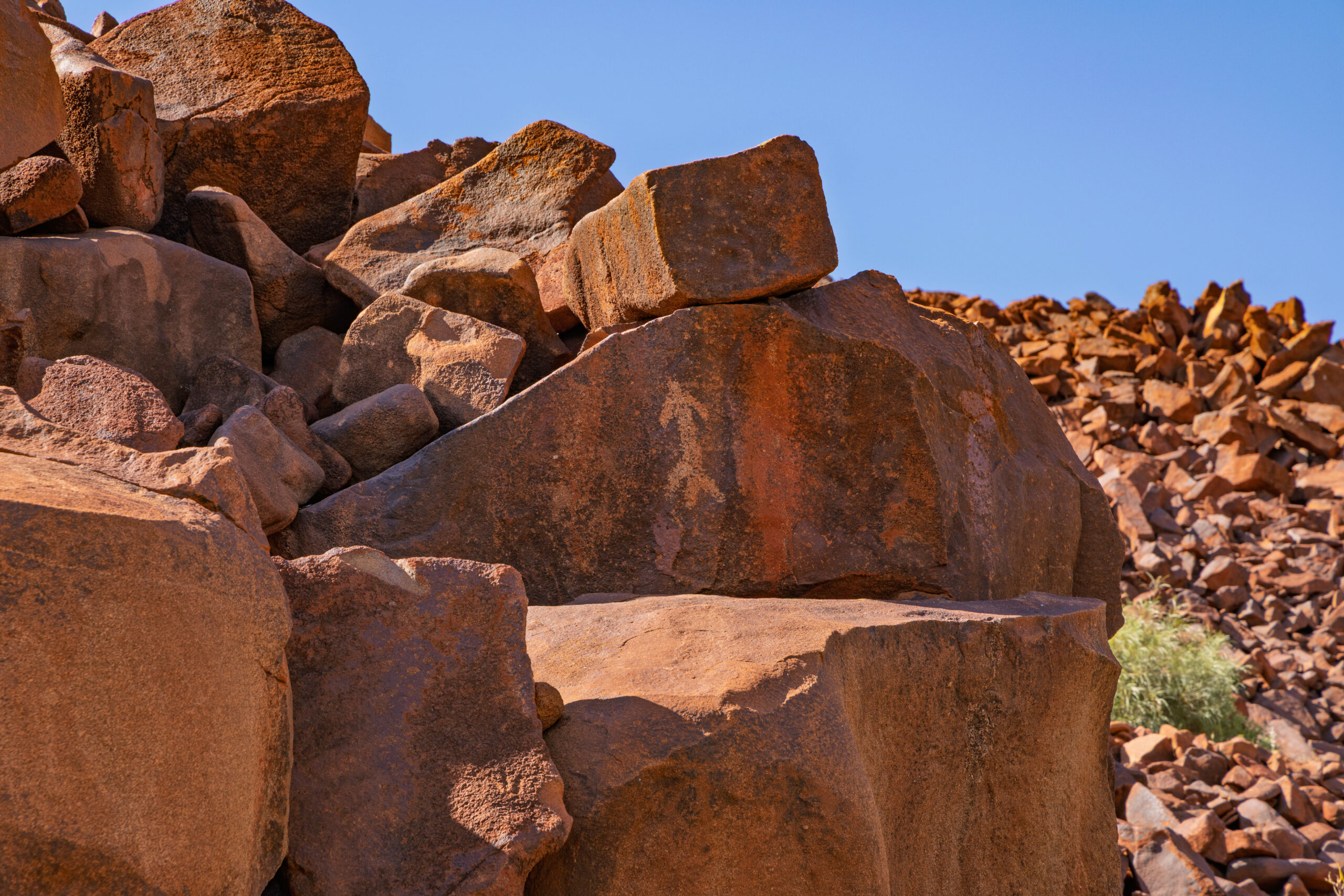
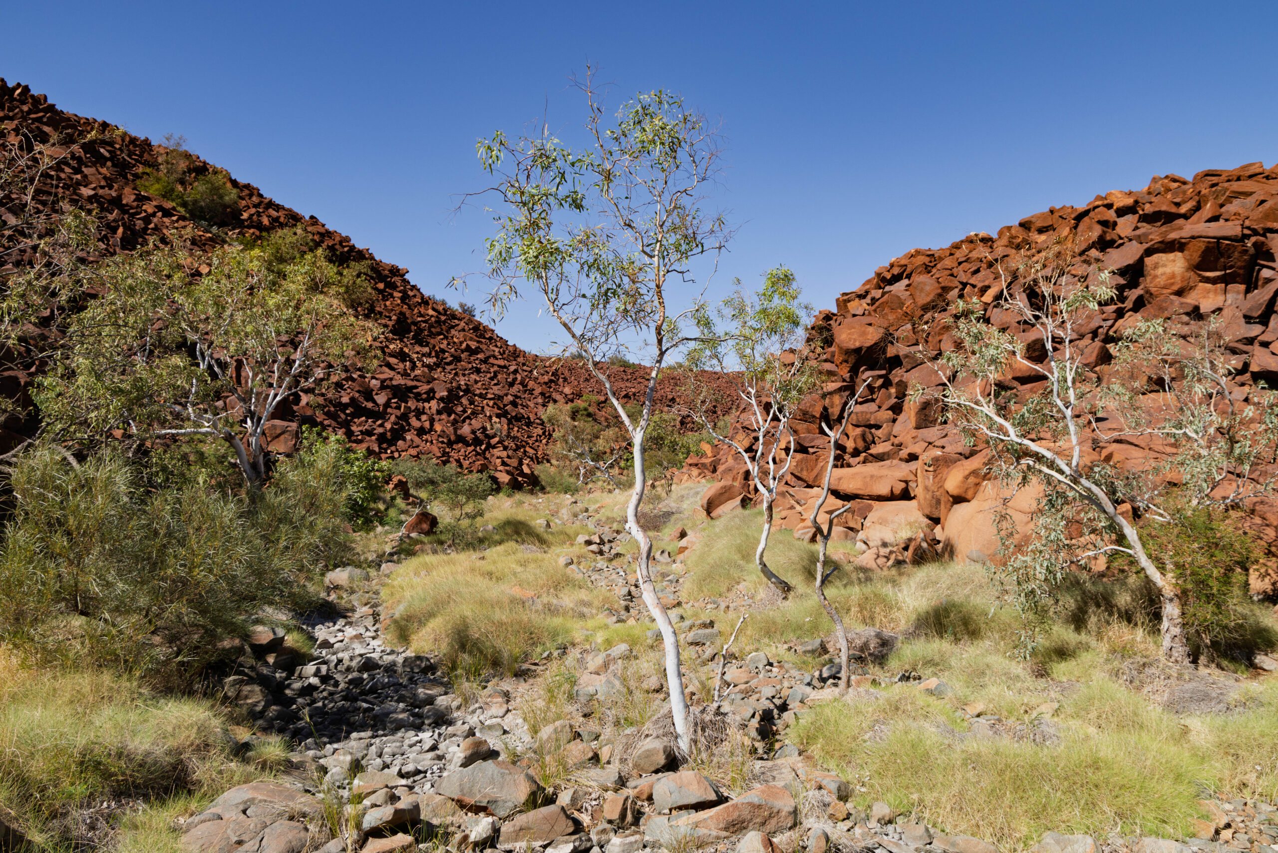
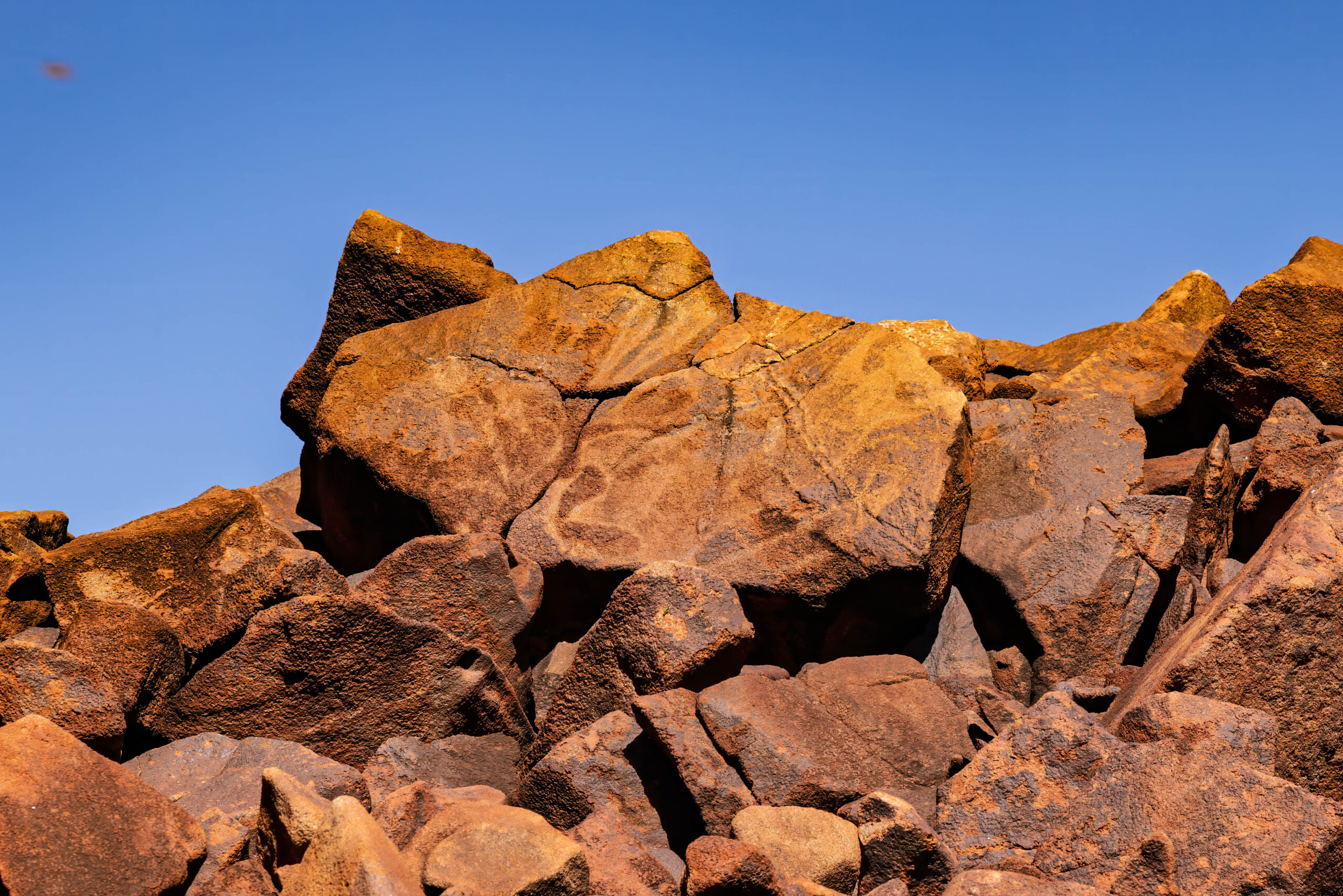
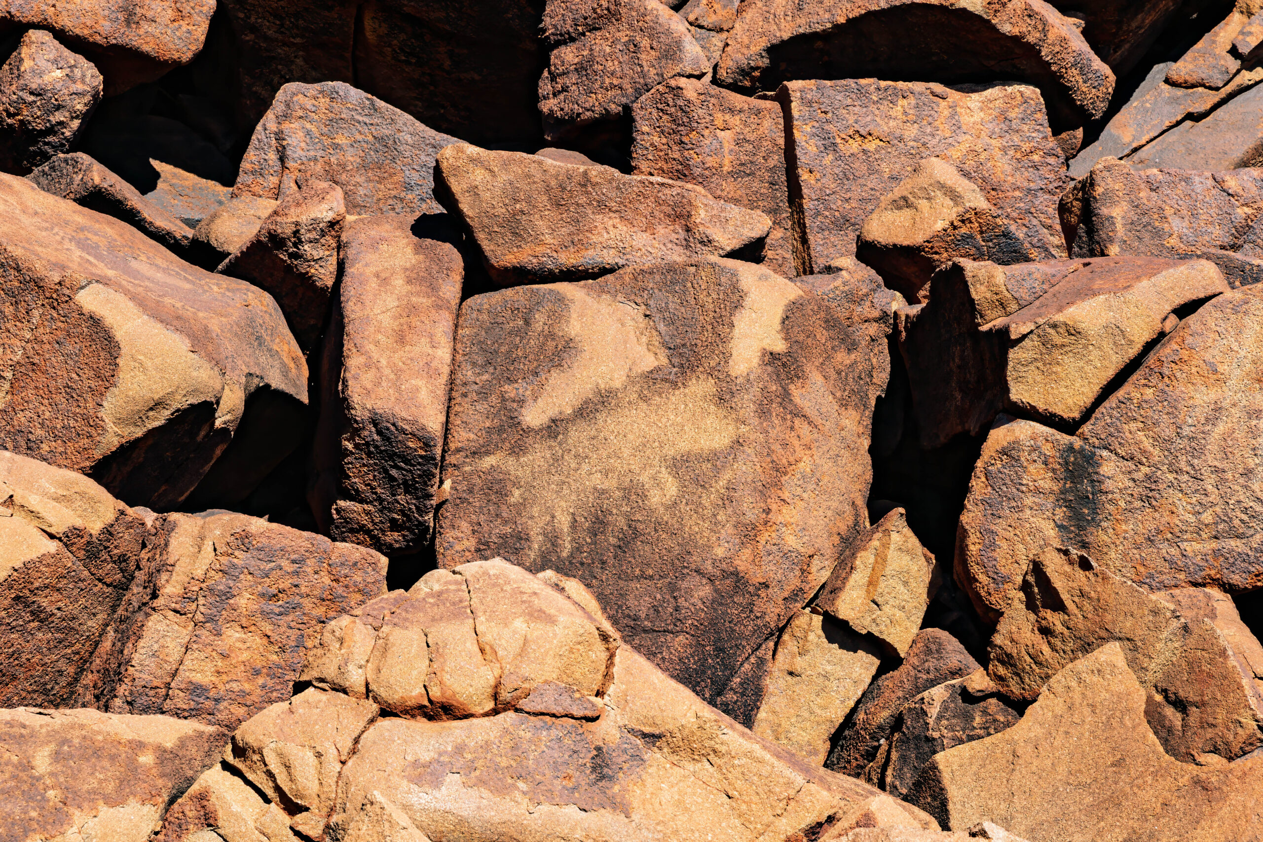
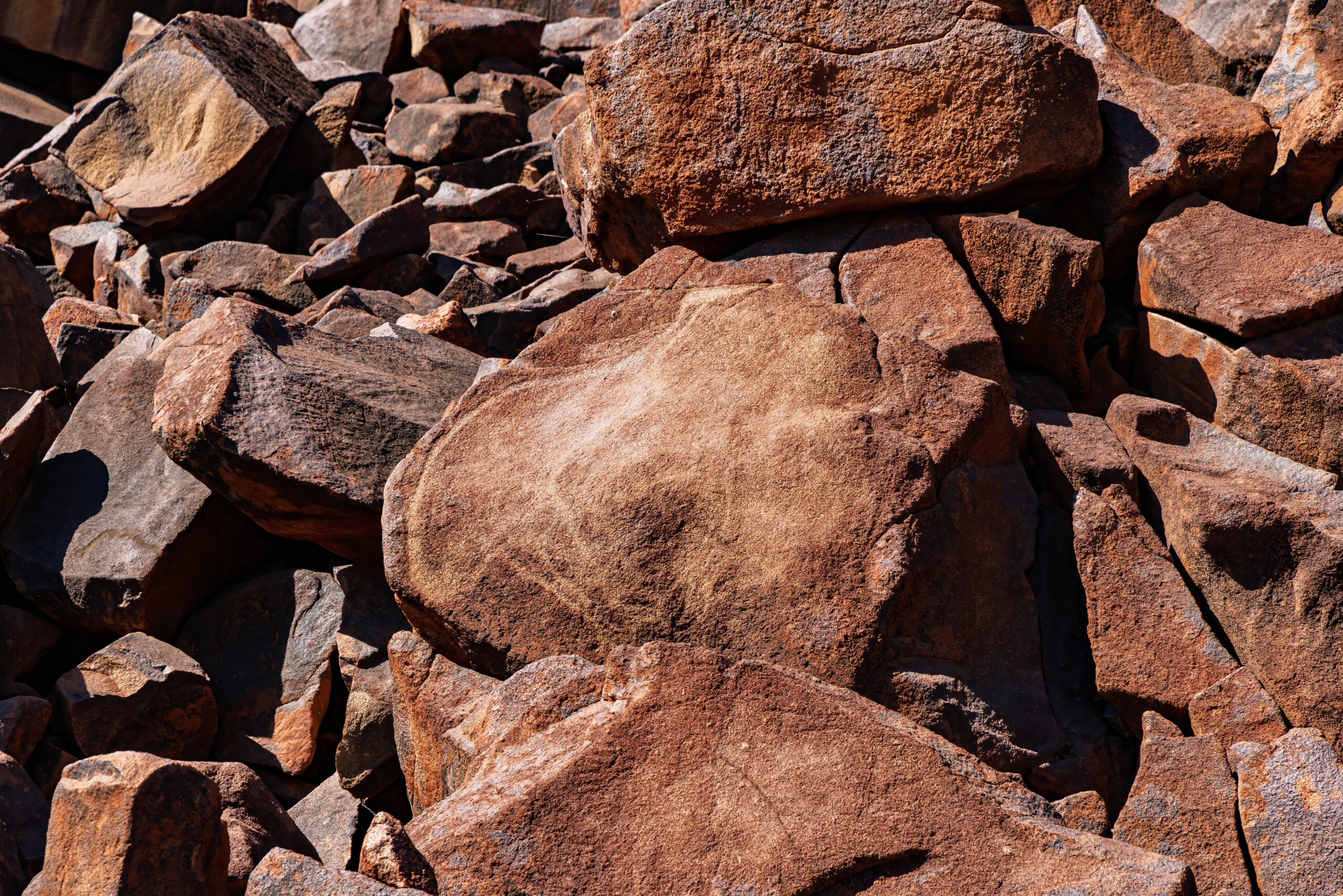
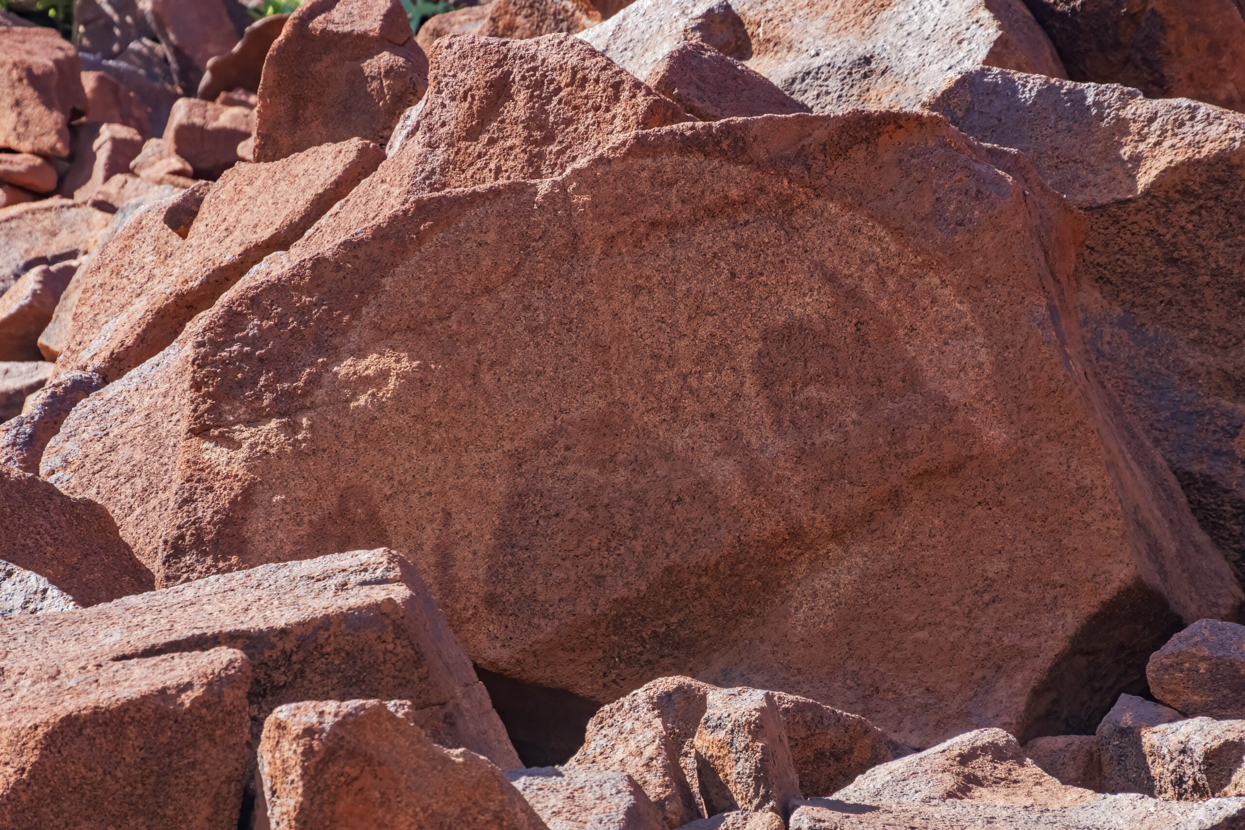
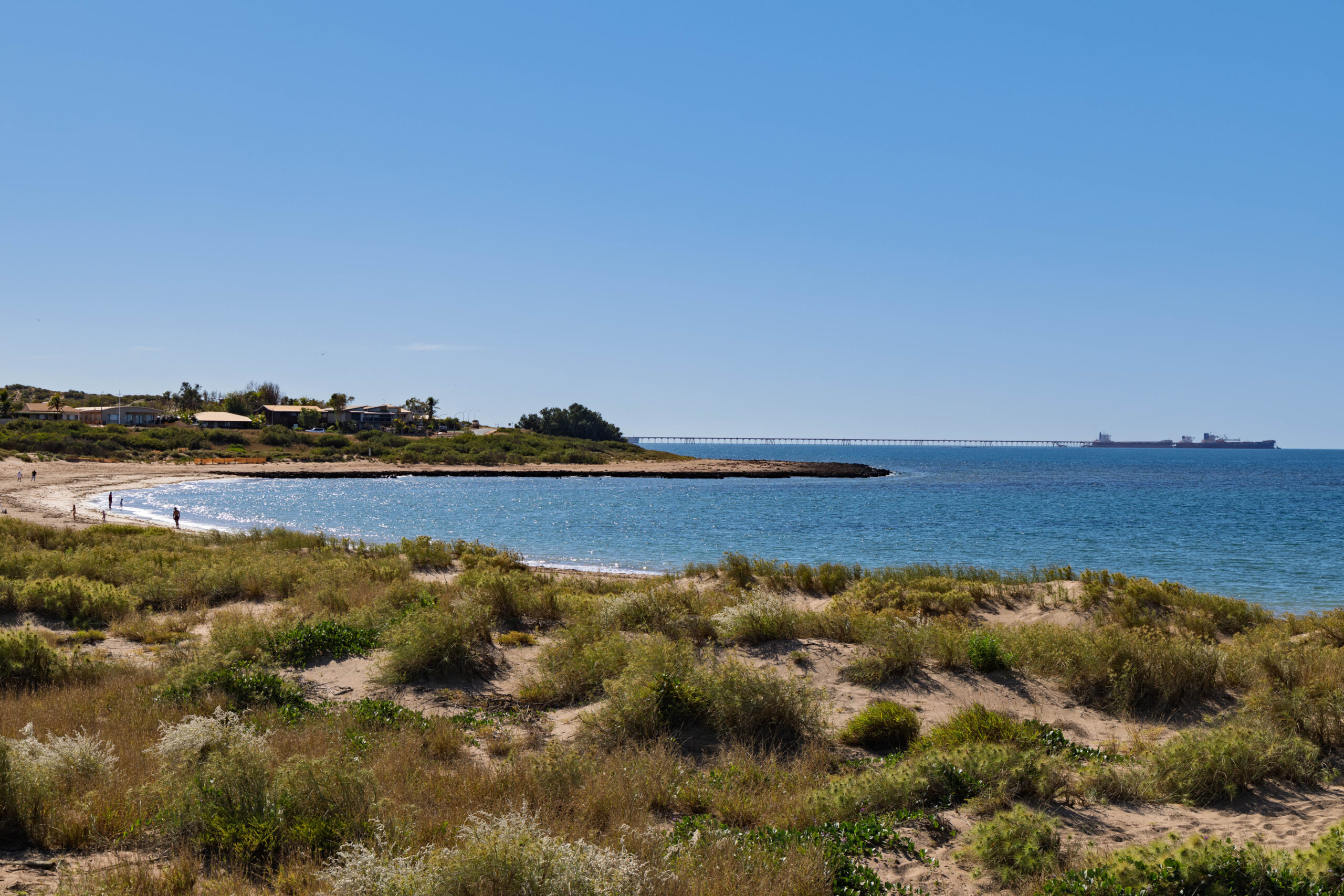
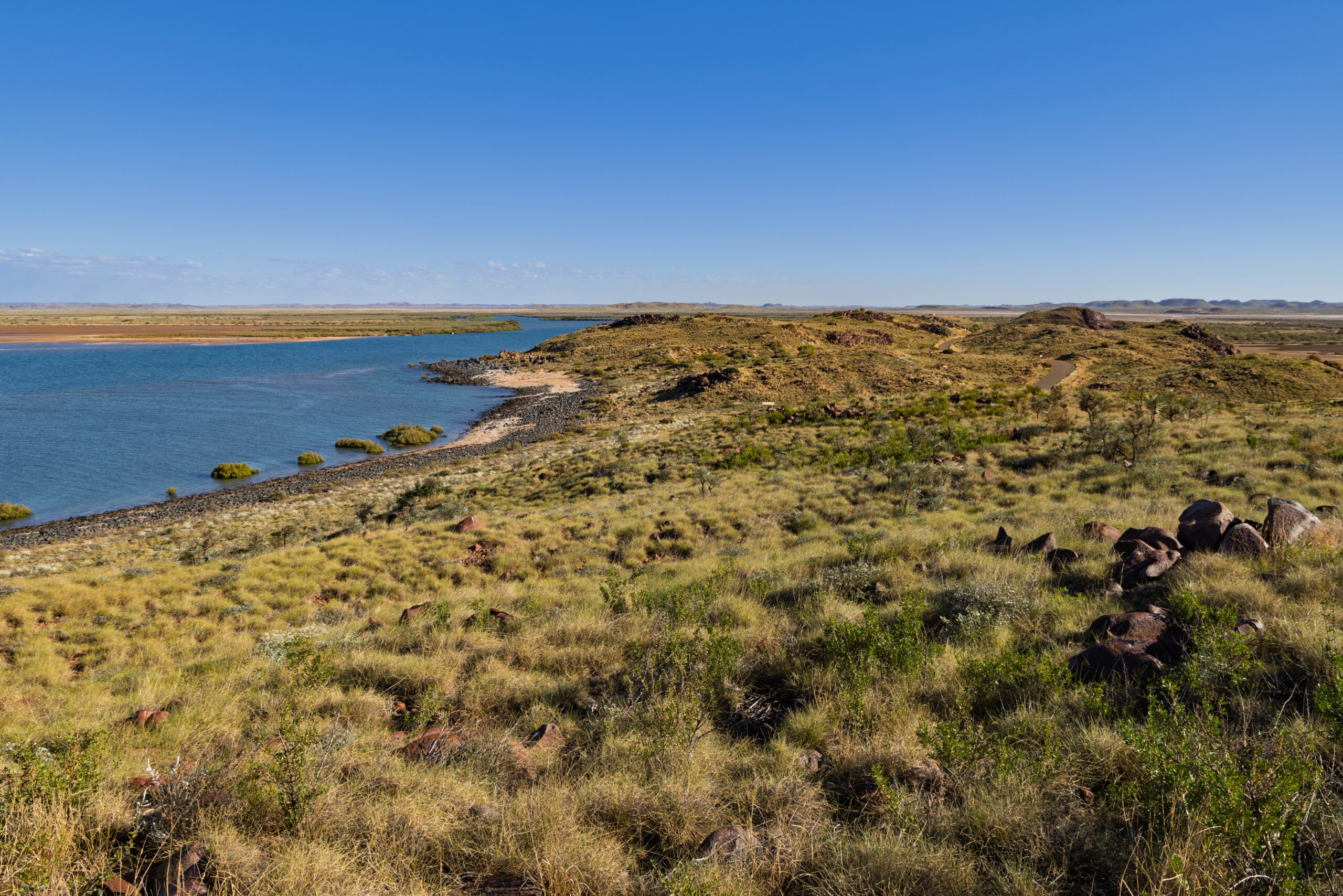
We drove across to Hearson’s Cove, where the road terminated at a very shelley beach. The ‘sand’ is still in the process of being ground down to be fine enough to be called sand, with large pieces of shell still visible in the mix on the beach. It was very strange to walk on as occasionally the shell fragments would fall against each other and literally tinkle. The landscape consisted of red rocks that looked like they were erupting out of the surrounding grassland. As we drove in, with so much mining around, we had wondered if the random rocky outcrops were mullock heaps? Now that we were in the national park, we had to assume that it is a natural environment, a very worn down mountain range?
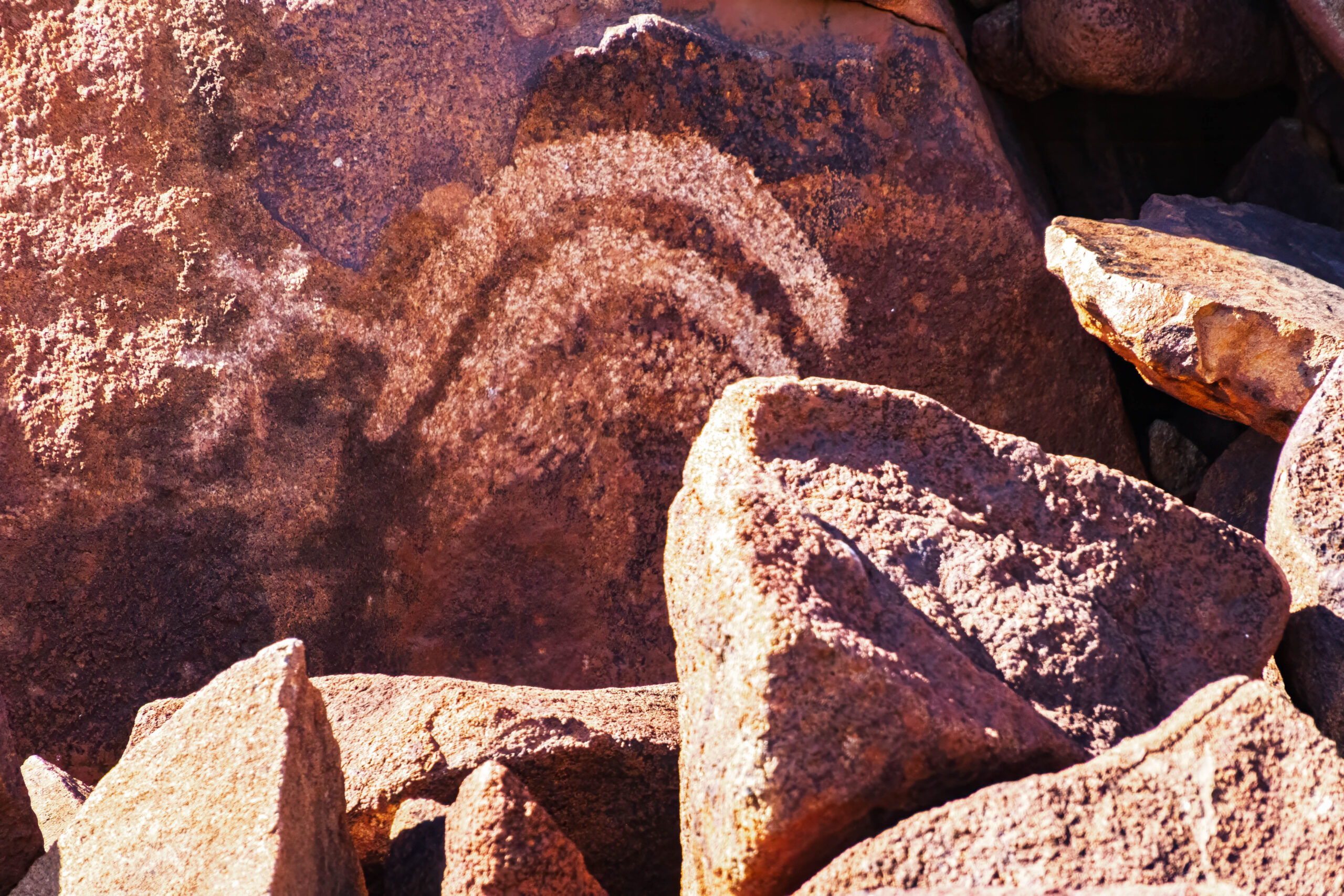
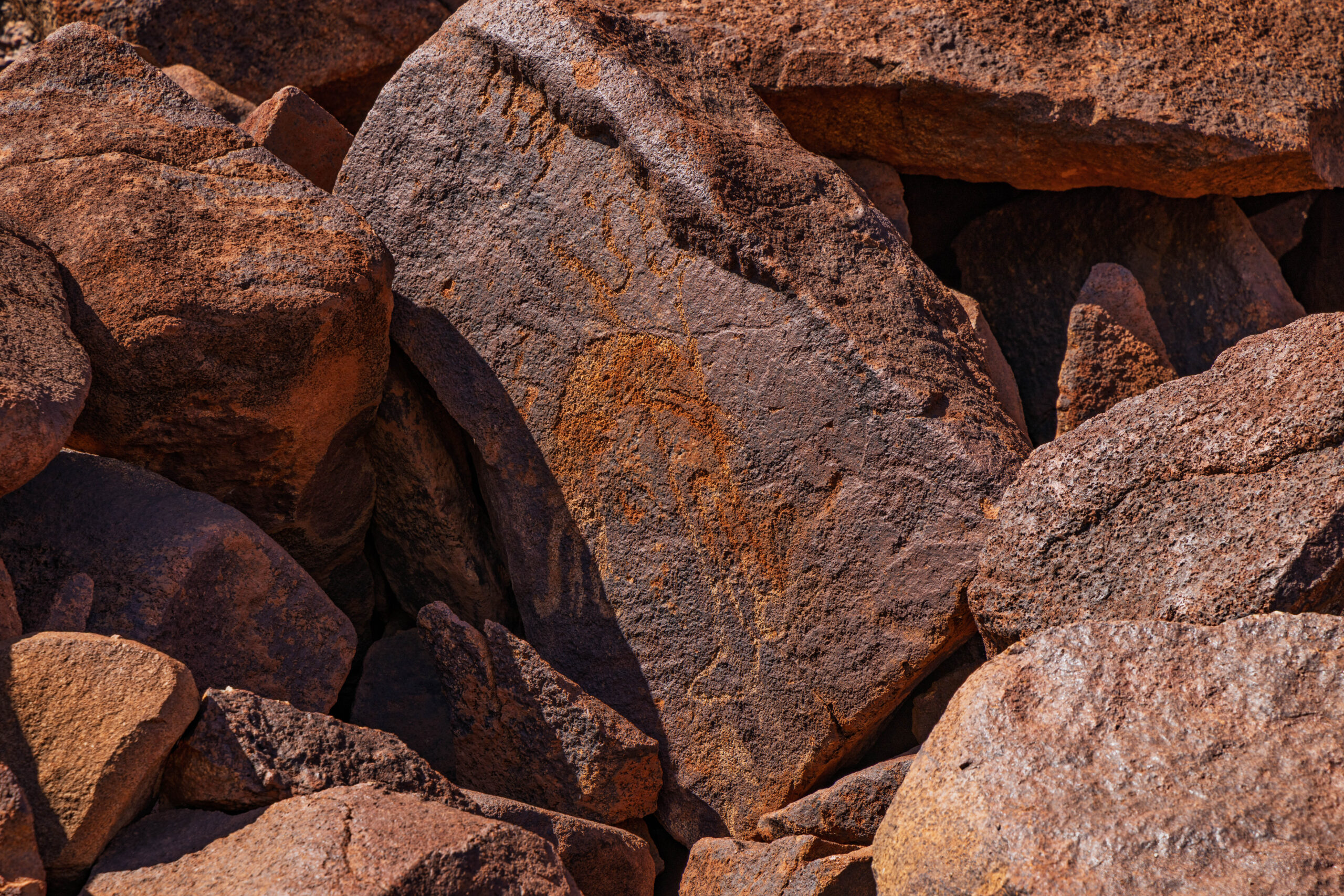
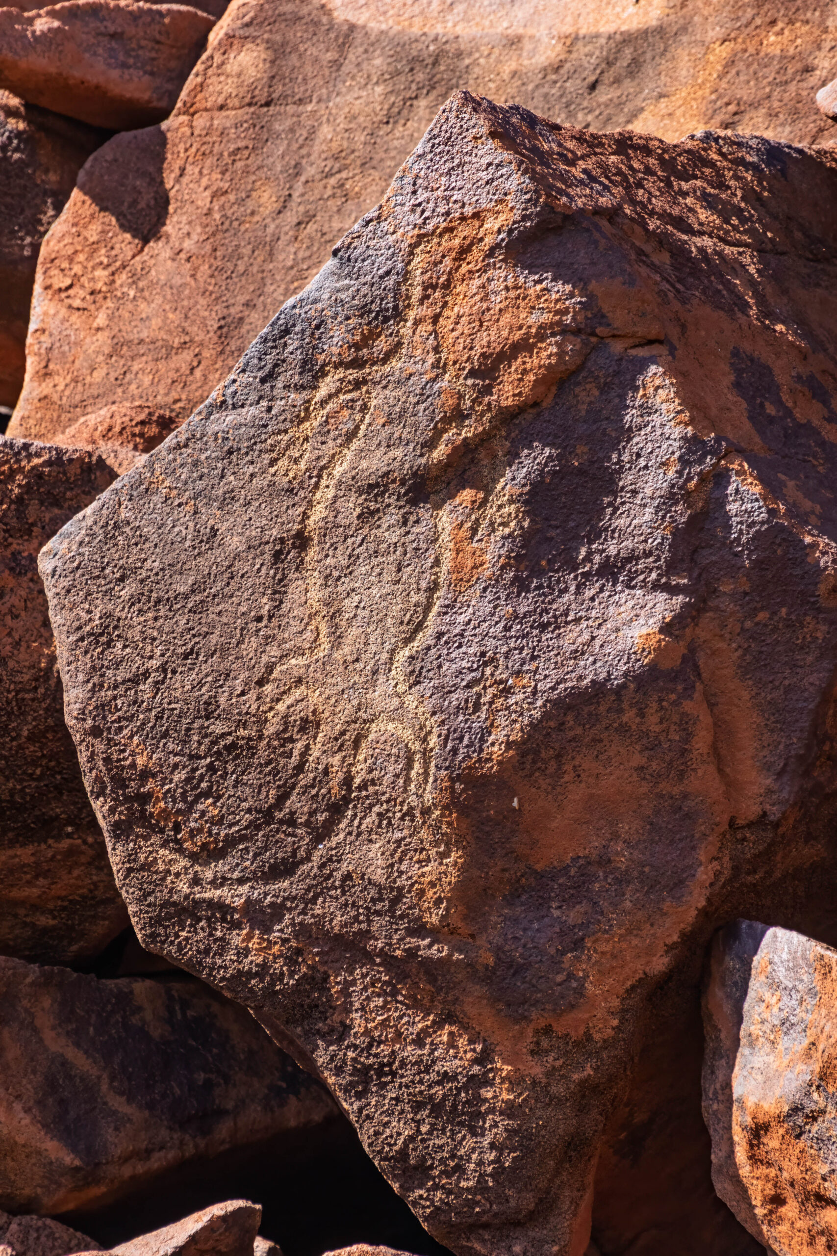
From Hearson’s Cove we made our way back to the Nganjarli Trail section of the Murujuga National Park. The park is Western Australia’s 100th national park and the first jointly managed national park in the State. Agreements with the traditional custodians aim to protect and promote Aboriginal cultural values and conserve the area’s natural and recreational values. Traditional skills and knowledge are used to look after this unique place, which boasts the highest concentration of ancient engravings or petroglyphs in the world.
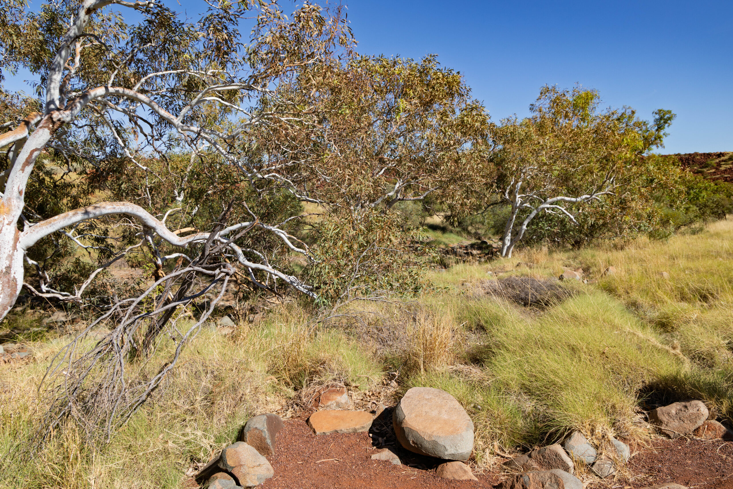
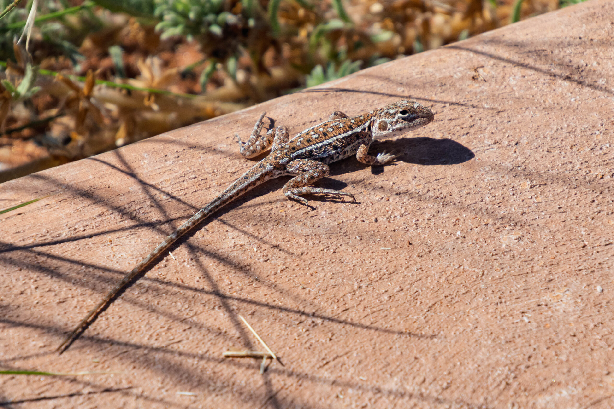
The trail follows the edge of the natural rock piles and reveal signs that Aboriginal people camped here and cared for the country over thousands of years. The trails took us past shell middens, quarry sites, grinding stones and many engravings. The creation story here is a little different:
‘In our Law, it is said that in the beginning the sky was very low. When Marrga (creation spirits) got up from the ground, they lifted the sky and the world out of the sea. It was the Marrga and the Minkala/Mangunyba (sky god) that shaped and named the Country, then all the birds and animals, and finally the Narda-Ngarli came from the Marrga themselves. In other places, they call this the Dreaming, but here we call it Ngurra Nyujunggama – when the world was soft.’
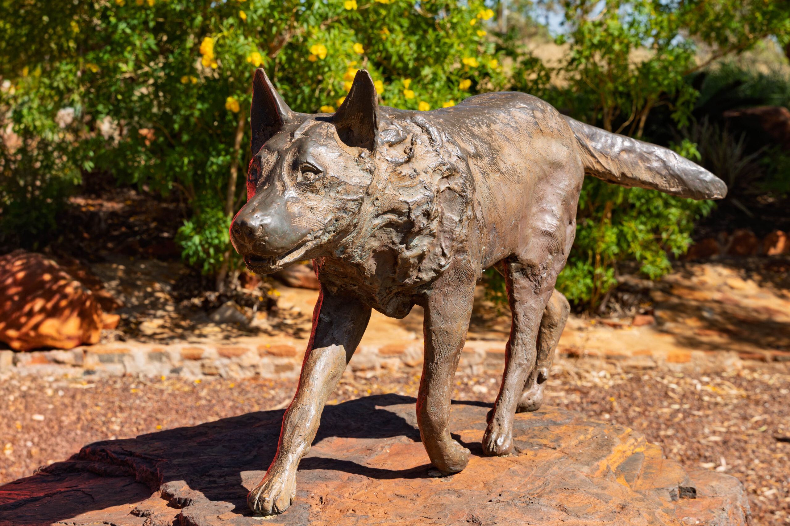
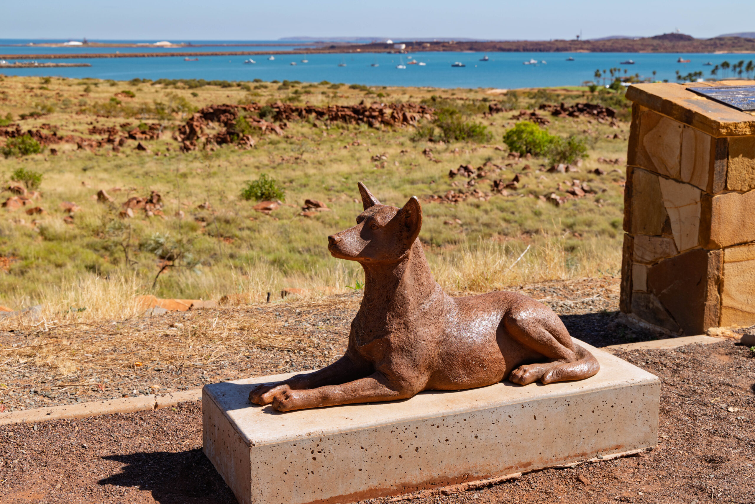
Next we drove into Dampier to visit the Red Dog statue which commemorates the legendary Kelpie-cattle dog cross who became a beloved, free-spirited mascot of the Pilbara region in the 1970s as he wandered the harsh outback, hitching rides with miners and truck drivers. He became famous for his adventurous nature, community loyalty and his grief after losing his favourite master.
As we pulled in, a young couple were there trying to take a photo of their red dog (pure Kelpie though, I think?) with the Red Dog statue. Aww, how cute was that? They had snapped a quick photo of Millie with the statue, and then she lost interest and jumped down off the plinth. While her Dad was rounding her up, I asked her Mum if they would like a photo of them with Millie and the statue. They took me up on the offer, so I took a photo of the three of them with Red Dog.
So, Dampier. The name keeps repeating down the coast, so I should record at this point that Dampier takes its name from English explorer, pirate, privateer and naturalist, William Dampier, who visited Australia twice, some 70 to 80 years before James Cook charted the East Coast. I guess he has to be credited as the first Englishman to explore parts of Australia. First on his voyage in 1688, aboard the Cygnet and then on his second voyage, between 1699-1701, aboard the HMS Roebuck.
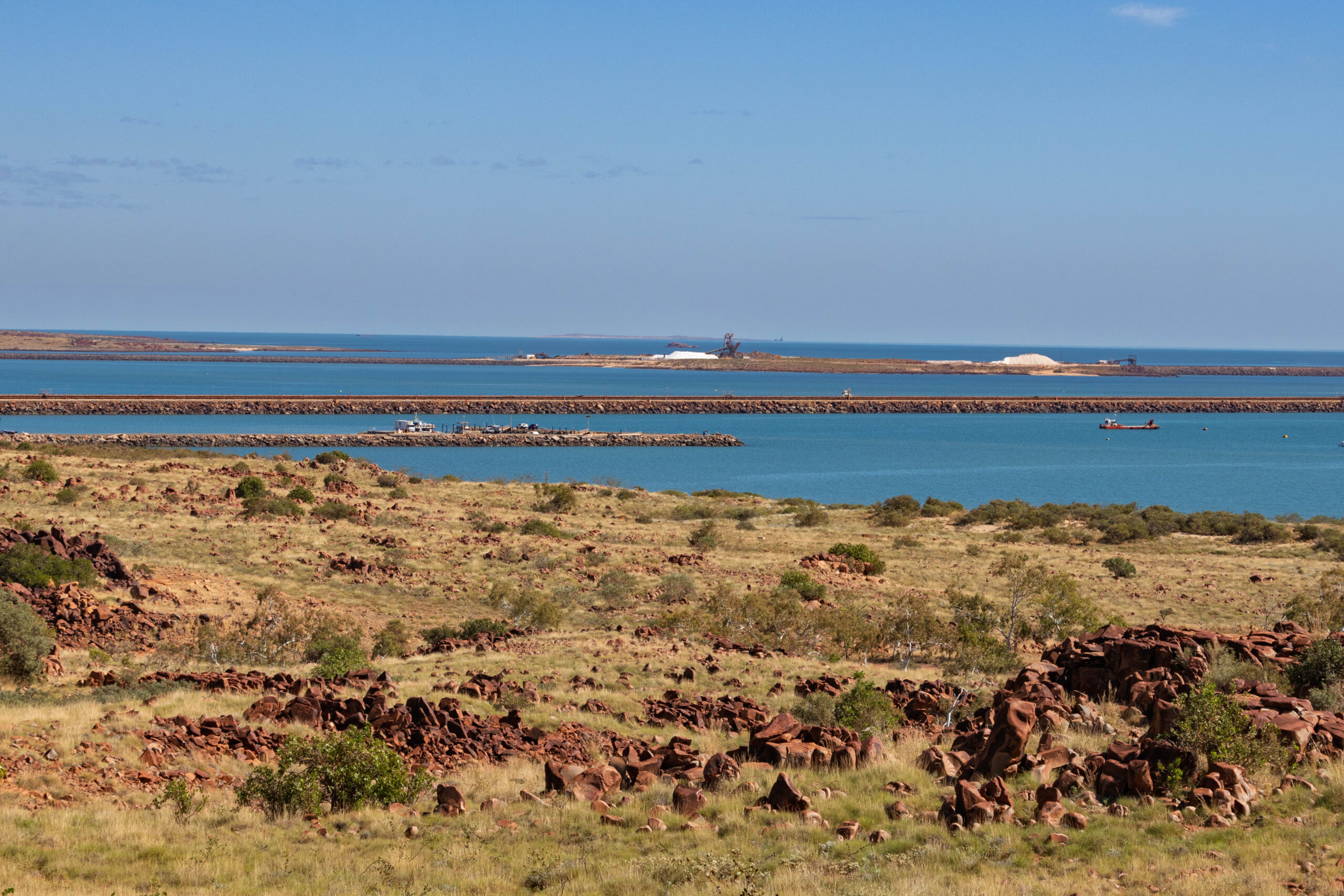
Dampier was constructed in 1965 as a port and processing centre for Hammersley Iron’s inland Pilbara iron ore mines. The port was opened in 1966, when the first iron ore from the Hammersley Project’s Tom Price mine was transported via the Hammersley railway to Parker Point for shipment. Today, Dampier Port is the second largest bulk export port in the world, shipping iron ore, salt, liquefied gas and anhydrous ammonia (used as a highly concentrated nitrogen fertilizer and as a refrigerant in industrial cold storage) from dedicated terminals.
Off the coast of Dampier, lie the 42 islands, outcrops and islets of the Dampier Archipelago, which is home to several endangered species. Over half of the islands are classified as nature reserves that are managed by WA’s Parks and Wildlife Service. With 3,700 hours of sunshine annually, Dampier is one of the sunniest places in Australia, making it a good place to be on holidays, especially when it is cold and wet in Melbourne!
We continued into Dampier and found our way to the Hampton Oval where the Sunday market was in full swing with tents and food truck arrayed all over the oval. Well, actually, the market was not in full swing as it was just coming up 12.00 noon and it’s a morning market. We parked the car and, as we set foot on the oval, it became obvious that the market was winding down and packing up. We decided to forego trying to catch any of the craft stalls and concentrate on trying to buy lunch from one of the food trucks. We ended up with delicious bagels from the Bagel Bus. Bernie went the classic lox, while I opted for the chicken pesto. Yum.
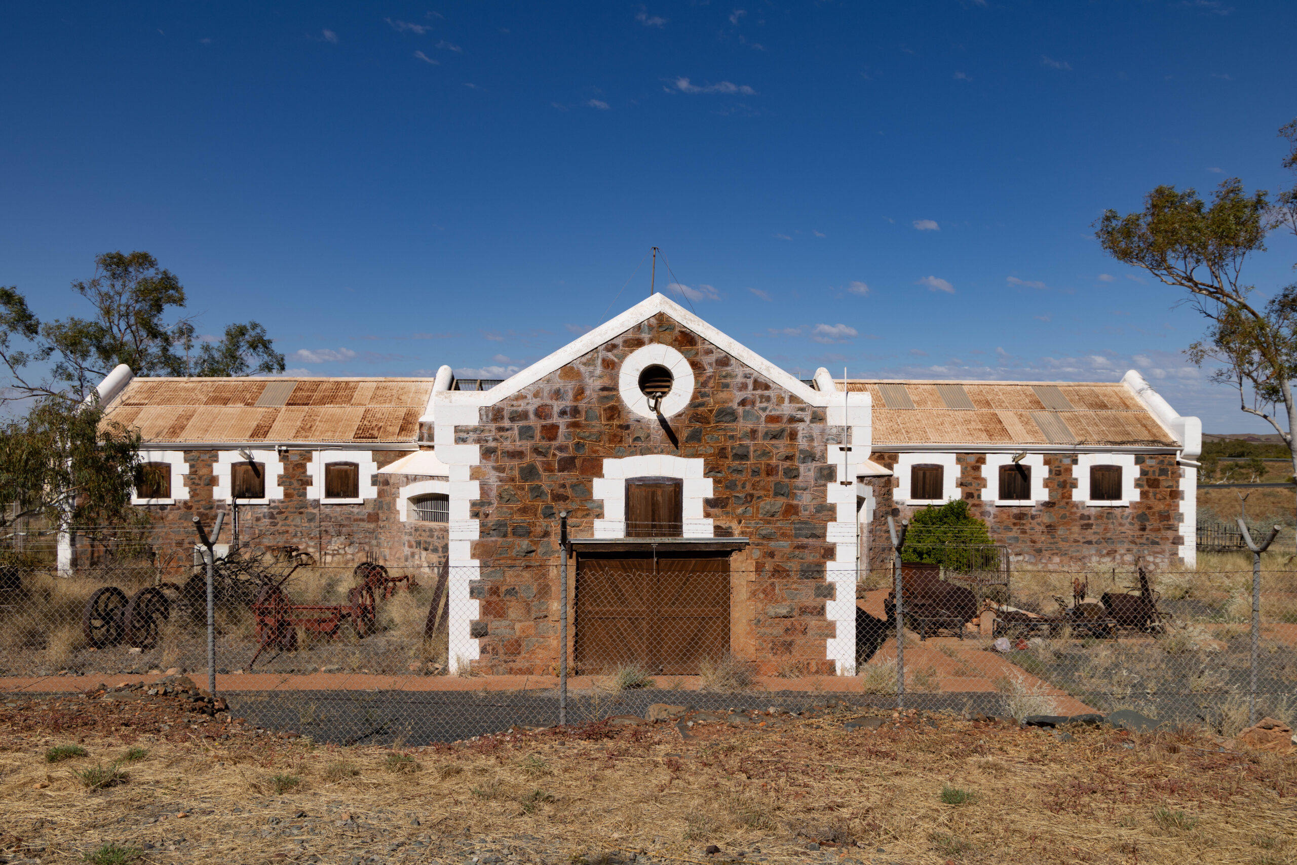
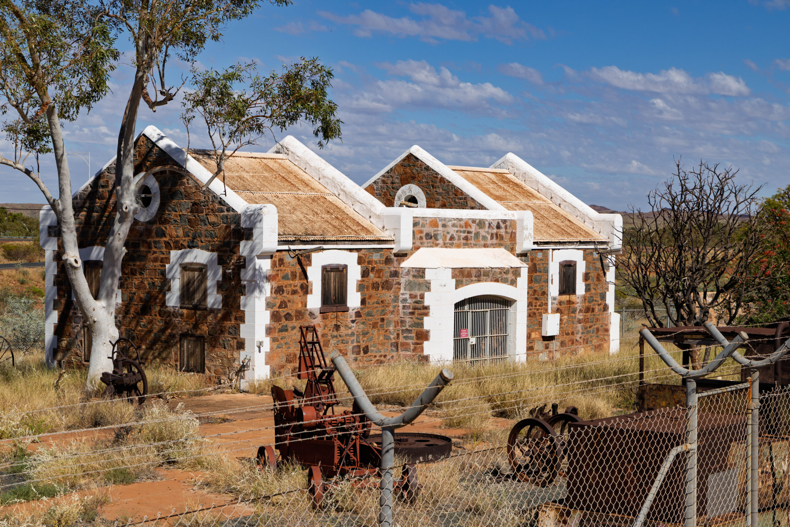
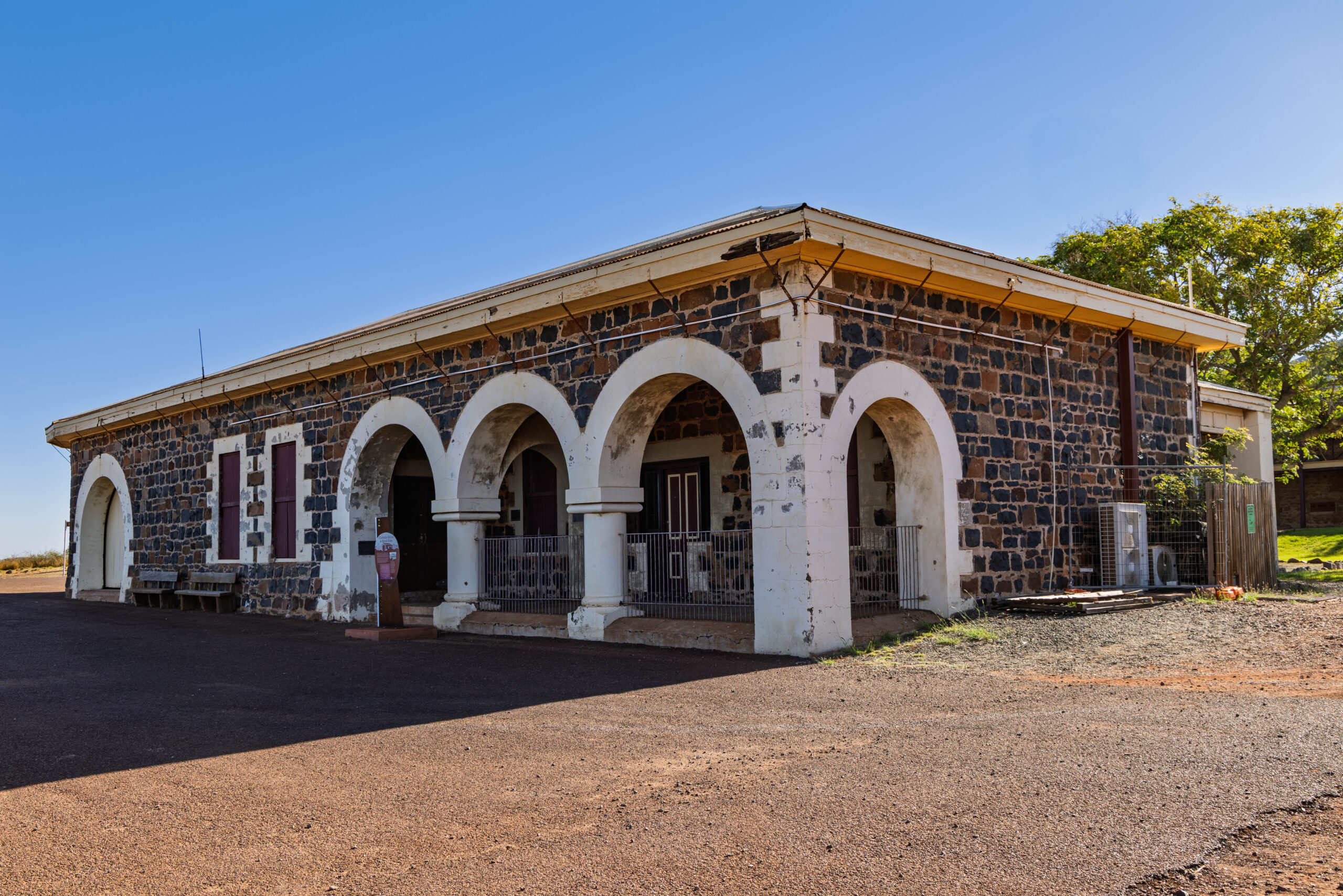
When we drove down the coast yesterday from Port Hedland, it was too late in the afternoon to stop at Roebourne or drive out to Point Samson, which we had been told was worth a look. With time to spare this afternoon, we drove the 40-odd kilometres back up the coast to Roebourne, where we stopped first at the Old Gaol Museum. We noticed the buildings yesterday afternoon and thought they looked worth a visit. After overnight research we remained unclear on whether the gaol was open to visitors … or not. It’s not! We took a few photos through the fence anyway.
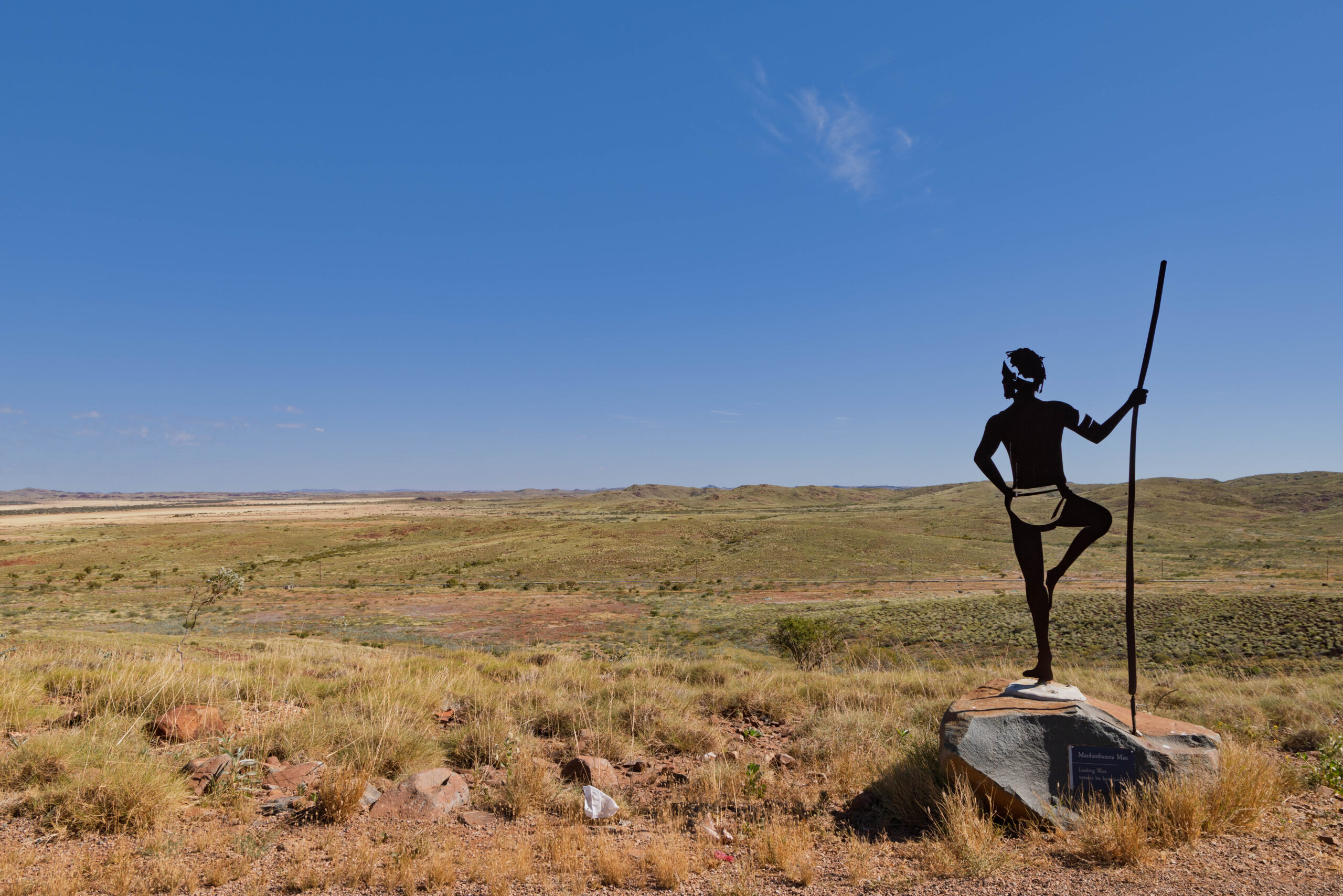
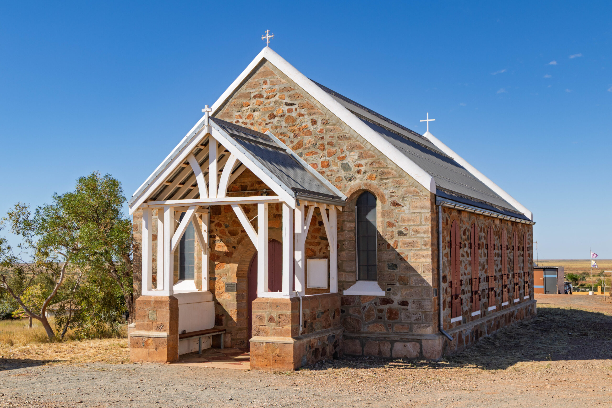
Next we drove up to Mount Welcome. The lookout is ringed by six evocative statues that represent a local Ngarluma man and men from each of the tribes neighbouring Ngarluma land. Each statue is oriented looking towards their homeland. The interpretative board also told the story of the first European settlers, Emma and John Withnell, who arrived aboard a three masted schooner, the Sea Ripple, in 1864. After a quick stop at the Holy Trinity Anglican Church, Bernie pointed the truck towards Point Samson.
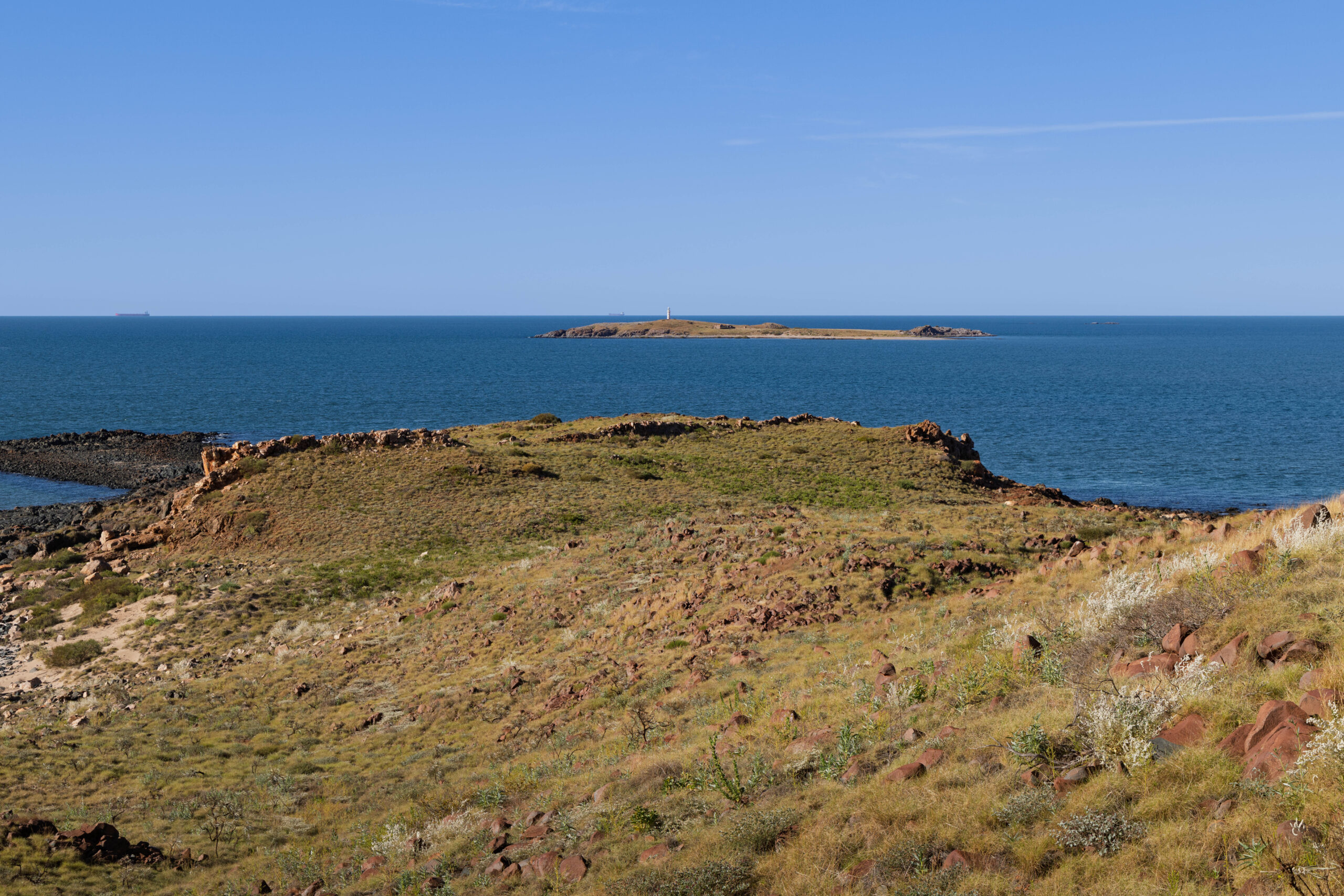
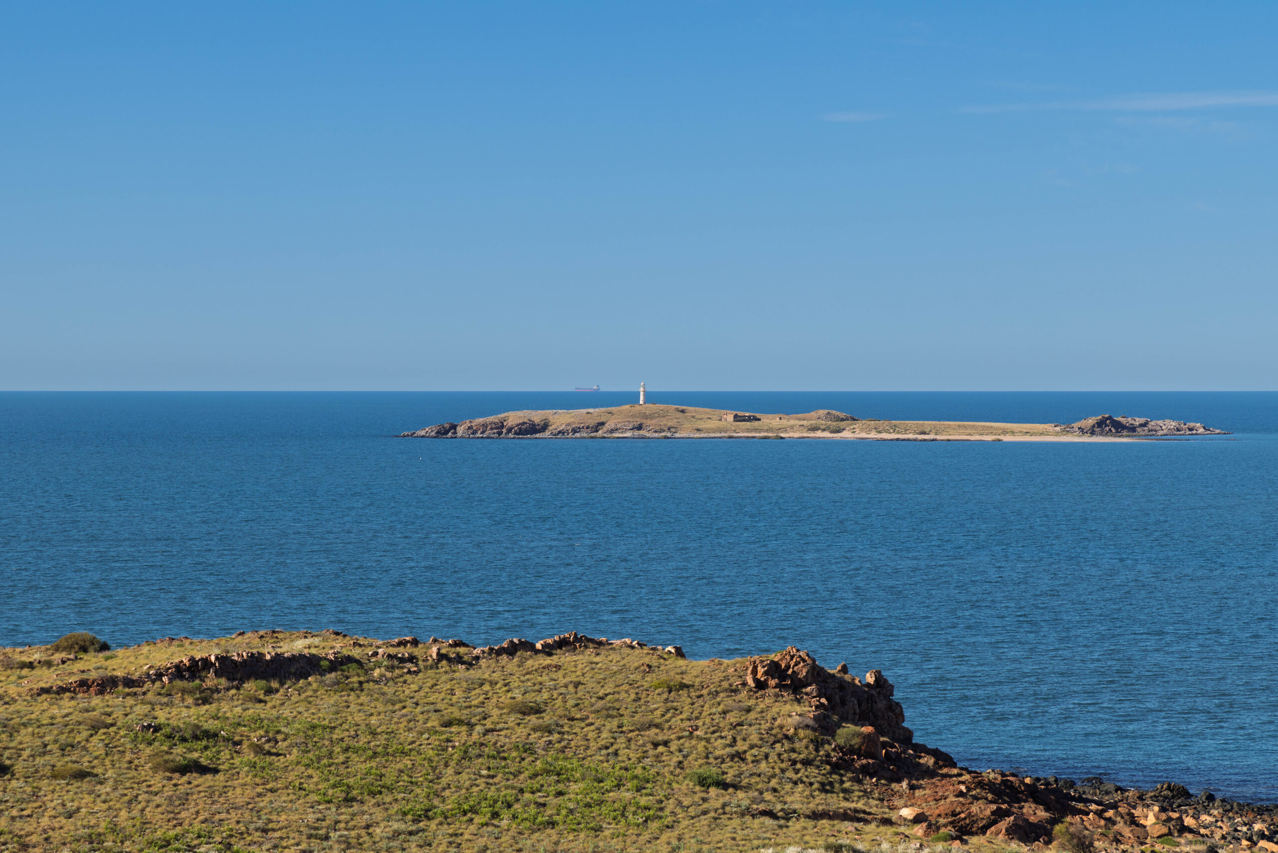
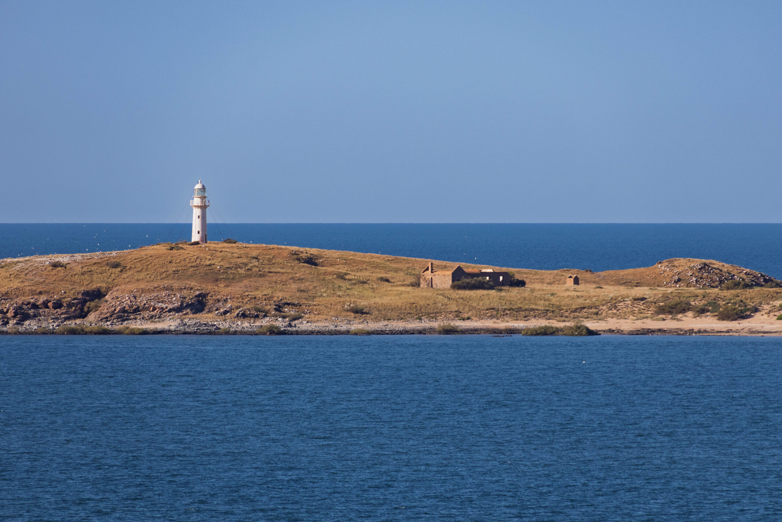
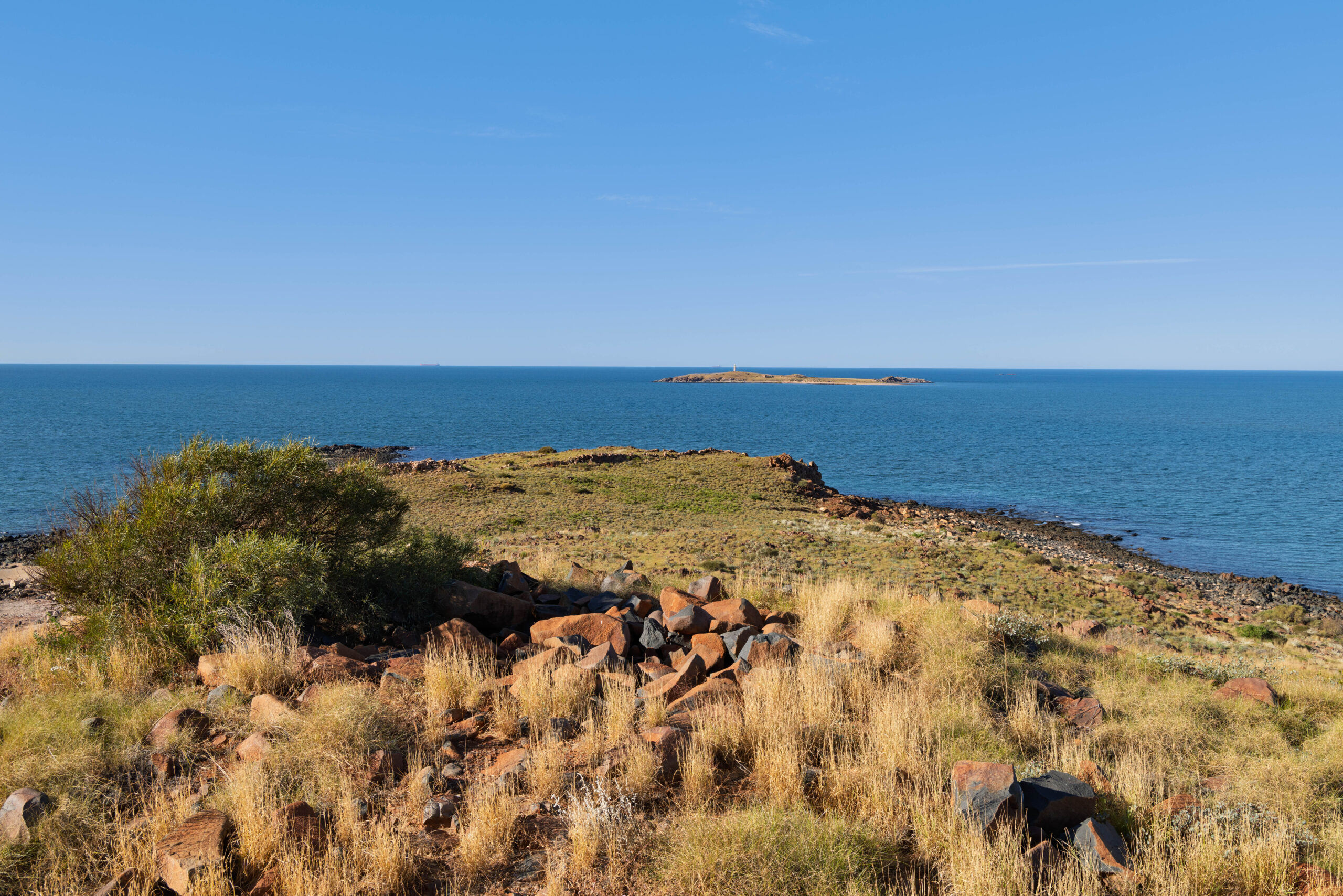
Originally the home of the Ngarluma people, Point Samson was developed as a holiday destination by entrepreneur William (Bill) Miller after he arrived in 1944. A lighthouse operated off the coast on Jarman Island between 1888 and 1985. Tenders were sought to construct the lighthouse, but all six tenders received were too expensive! It ended up being cheaper to buy a pre-fabricated lighthouse from England and have it shipped to Australia. For £1,719.00, a lighthouse kit, complete with tools to build it and the paint to protect it, was purchased from a company in Birmingham. Living quarters for the lighthouse keepers were built by the Bunnings Brothers at a cost of £595.00. The lighthouse can still be seen on Jarman Island, along with the ruins of the lighthouse keepers’ homes.
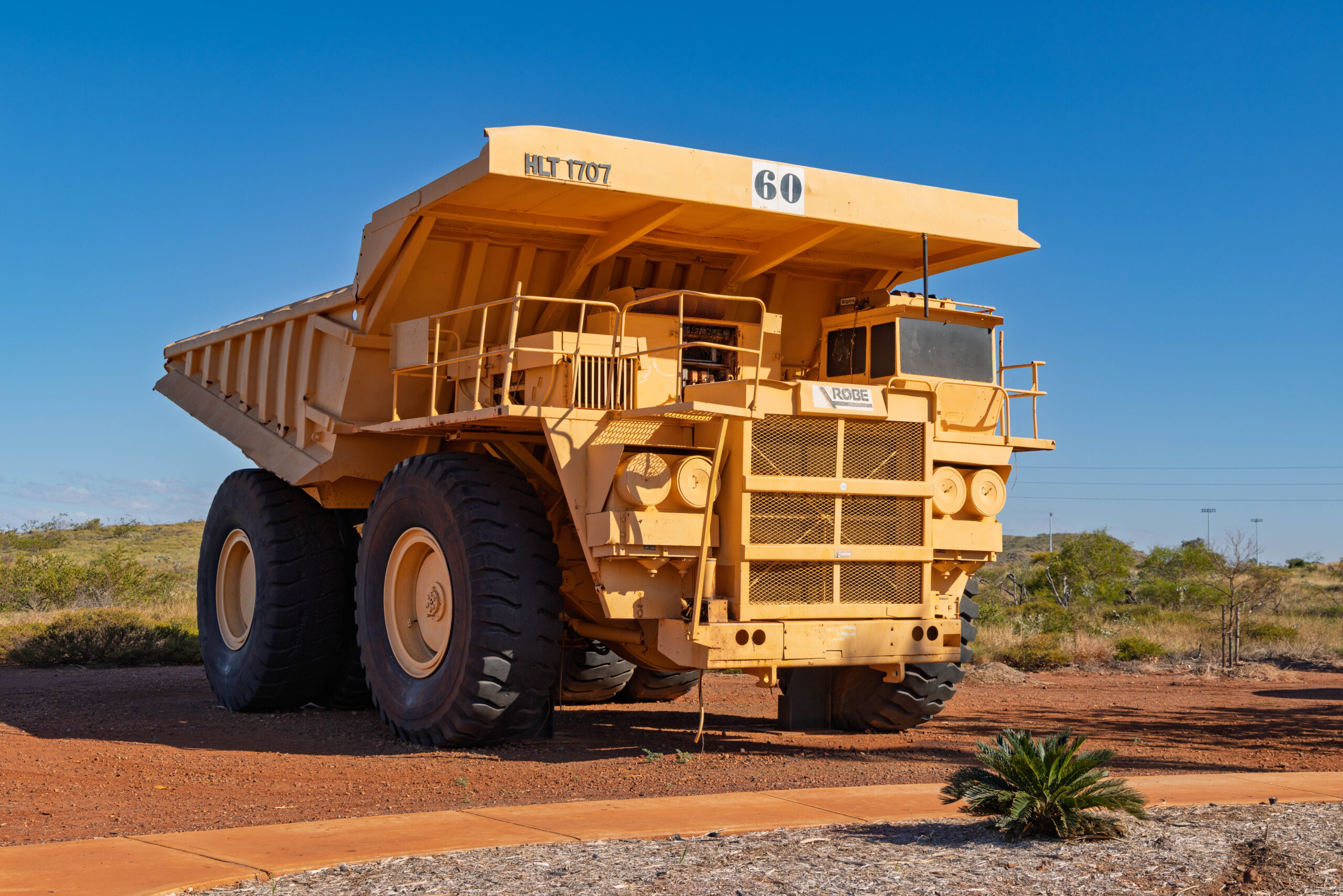
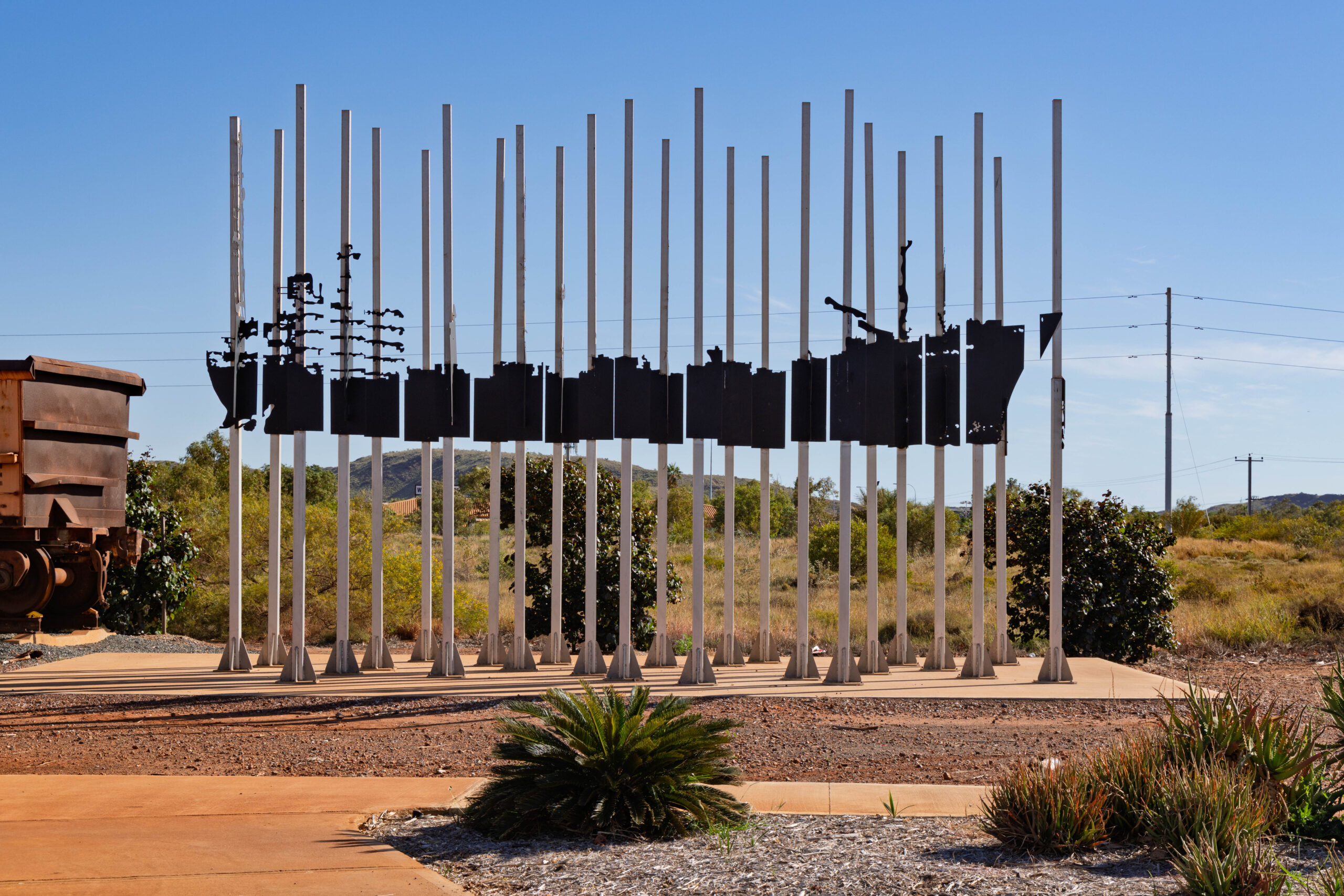
Heading back towards the highway, we stopped briefly at the turn off to Wickham to photograph more BIG mining equipment on display. The board there informed us that the Cape Lambert iron ore ship loading facility (at Point Samson) was built in the 1970s to handle iron ore mined at nearby Pannawonnica by the Cliffs Robe River Iron Associates. The Cape Lambert facility is one of the longest and tallest jetties in Australia.
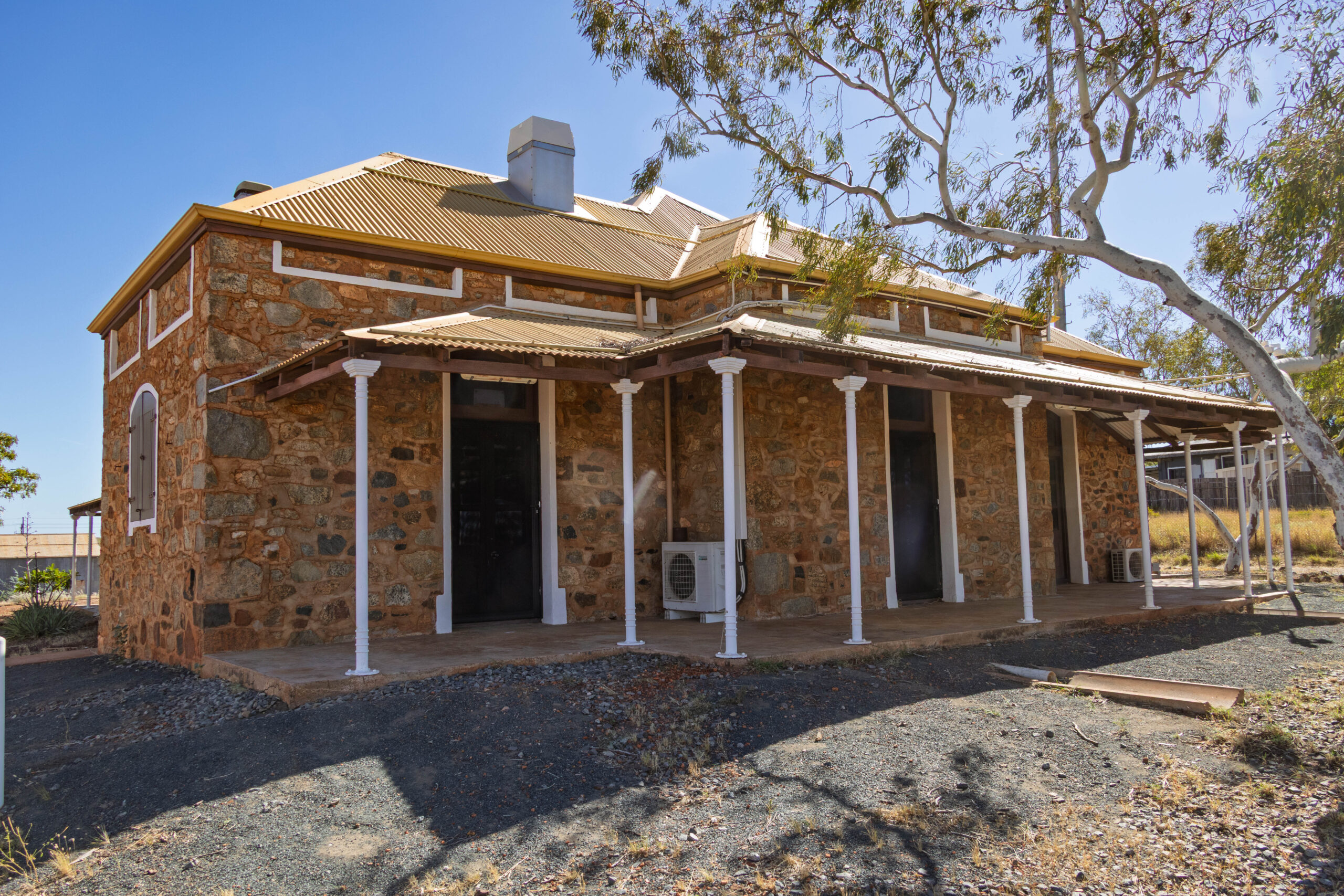
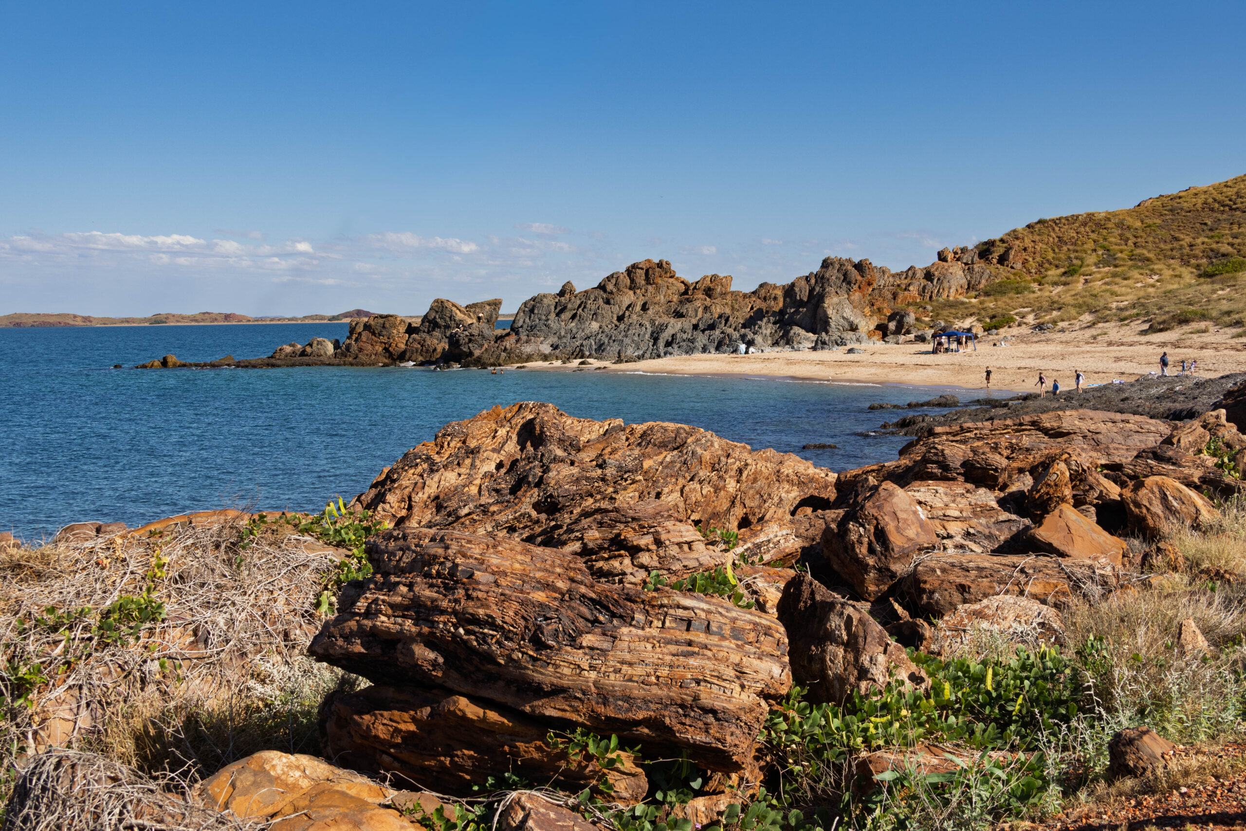
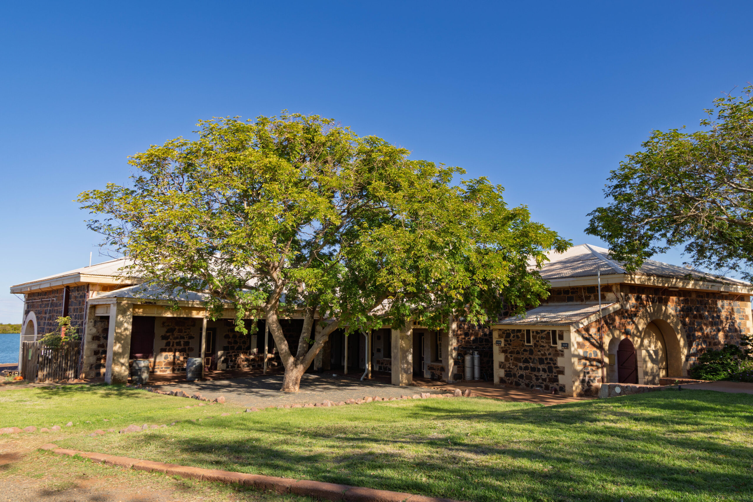
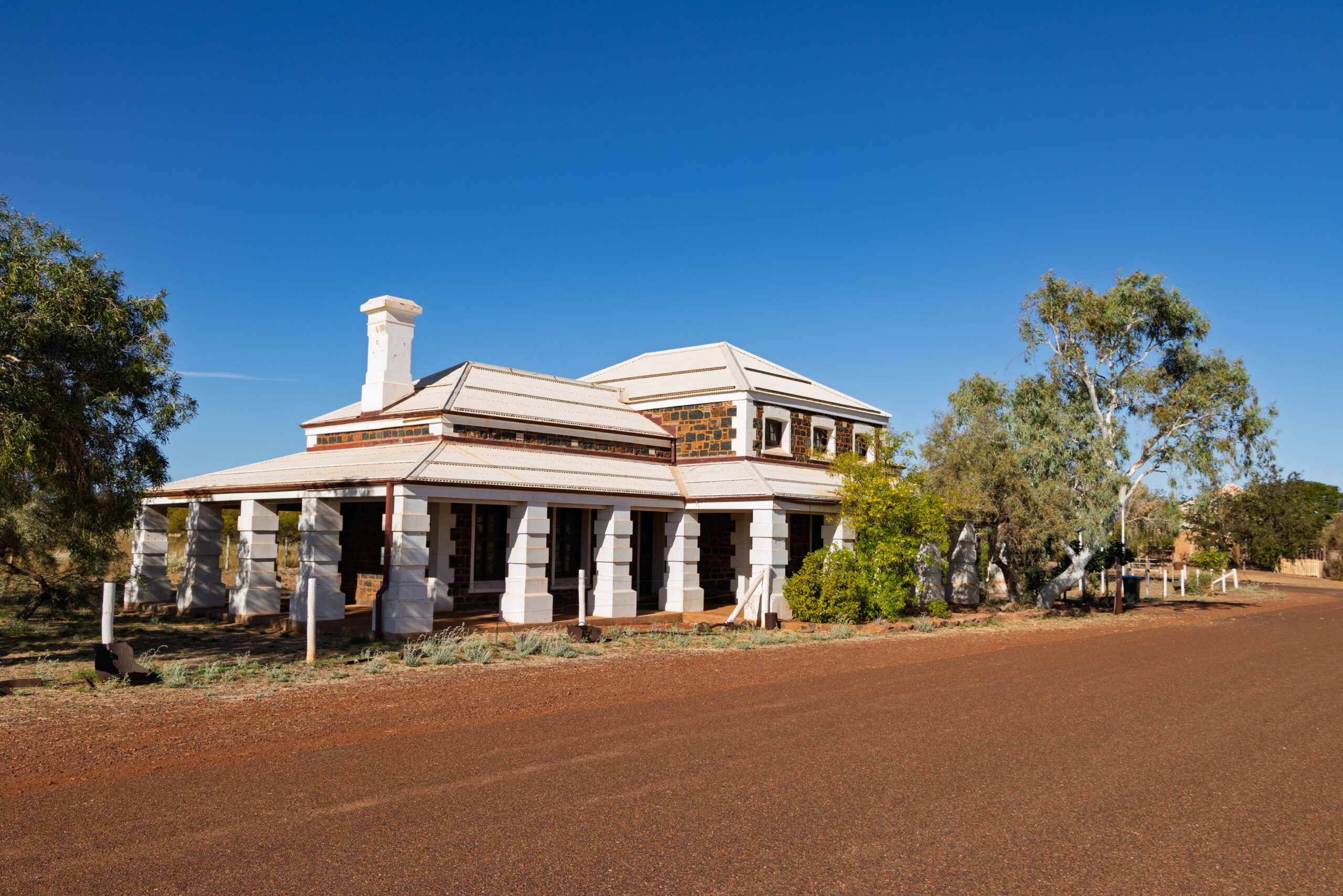
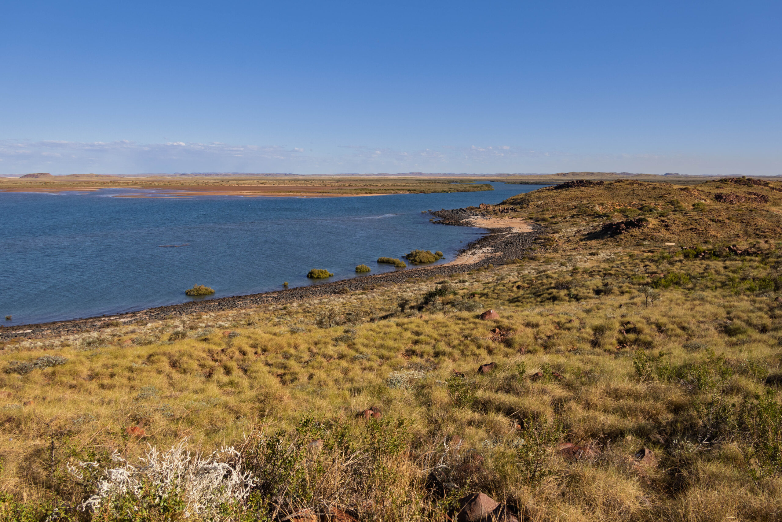
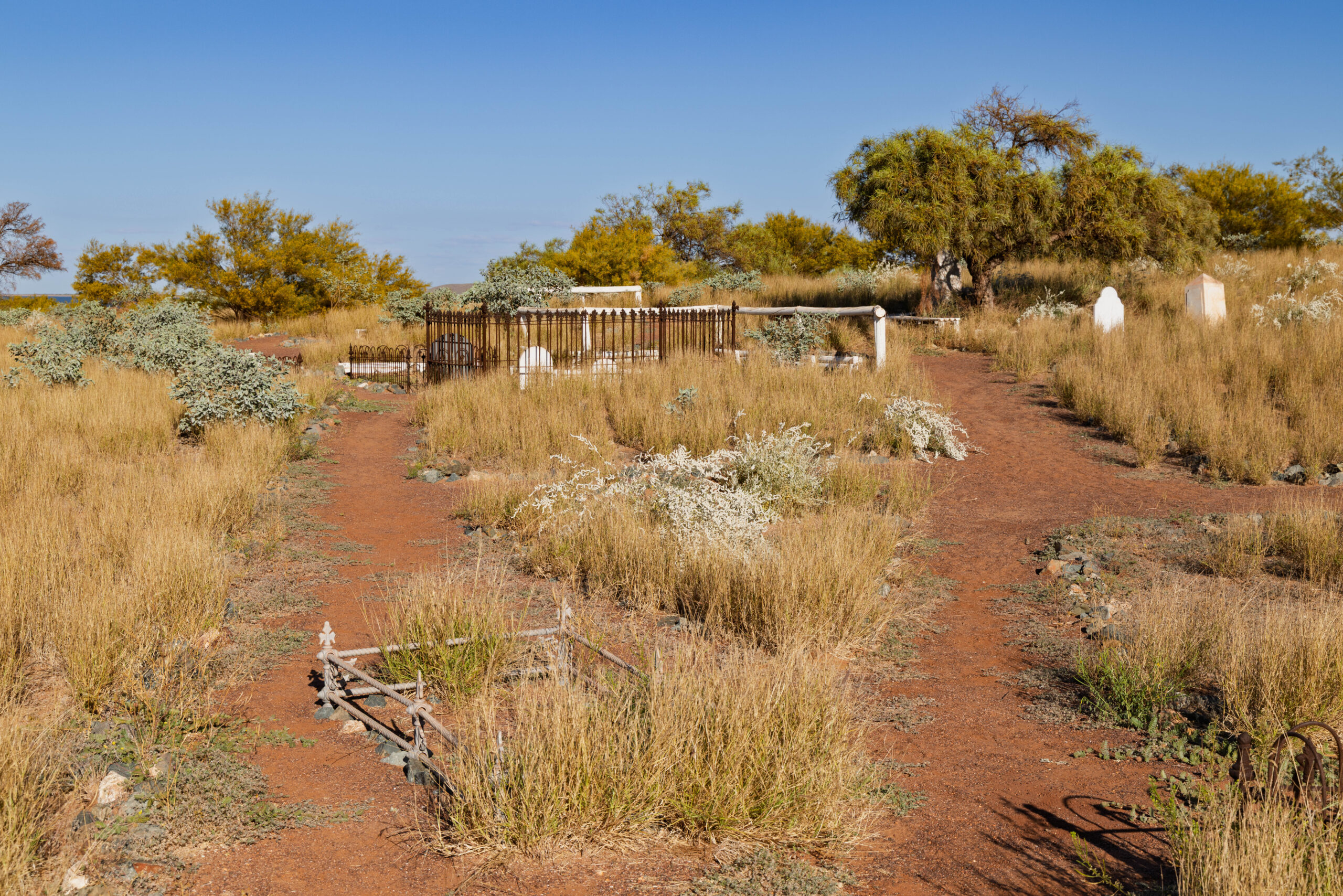
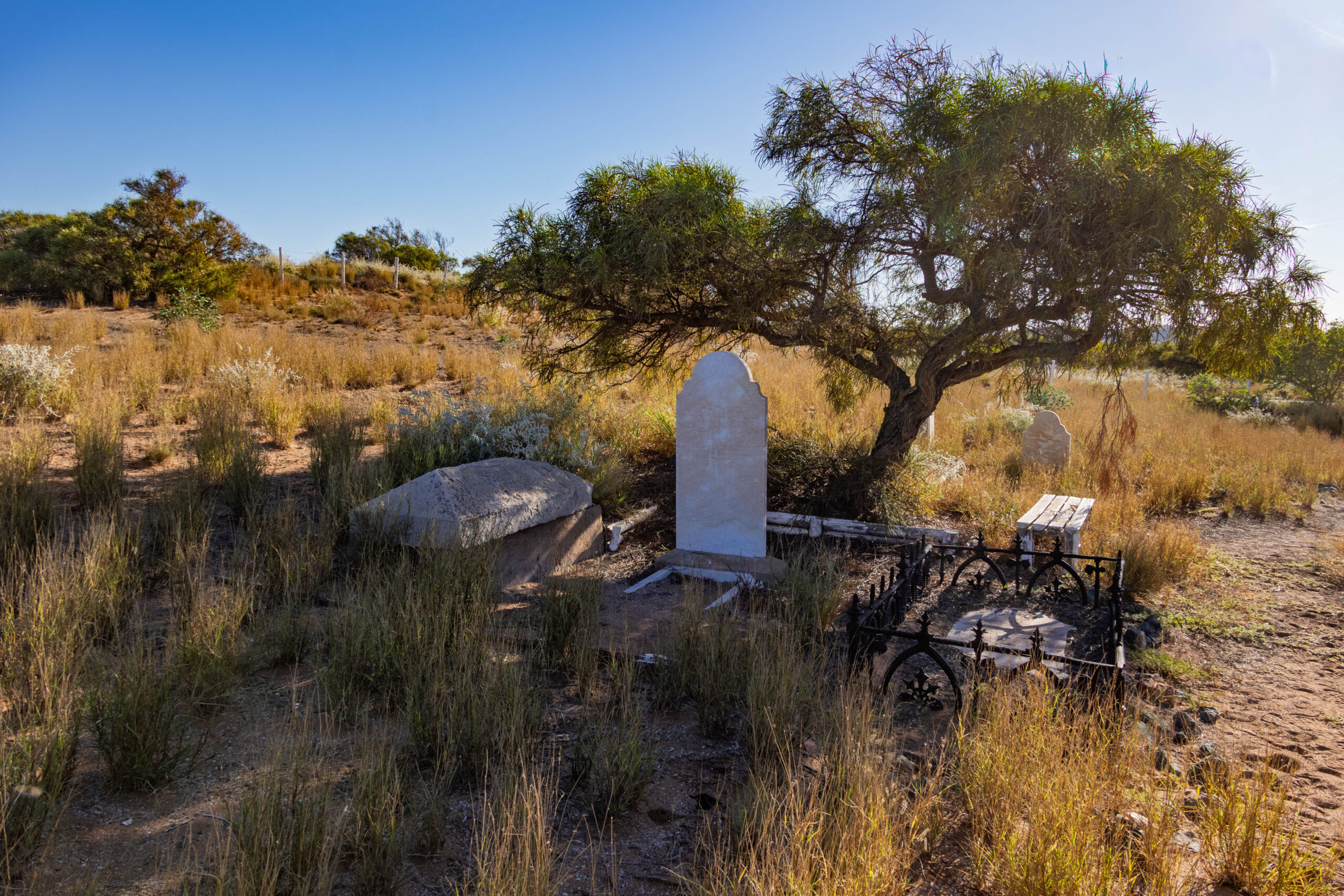
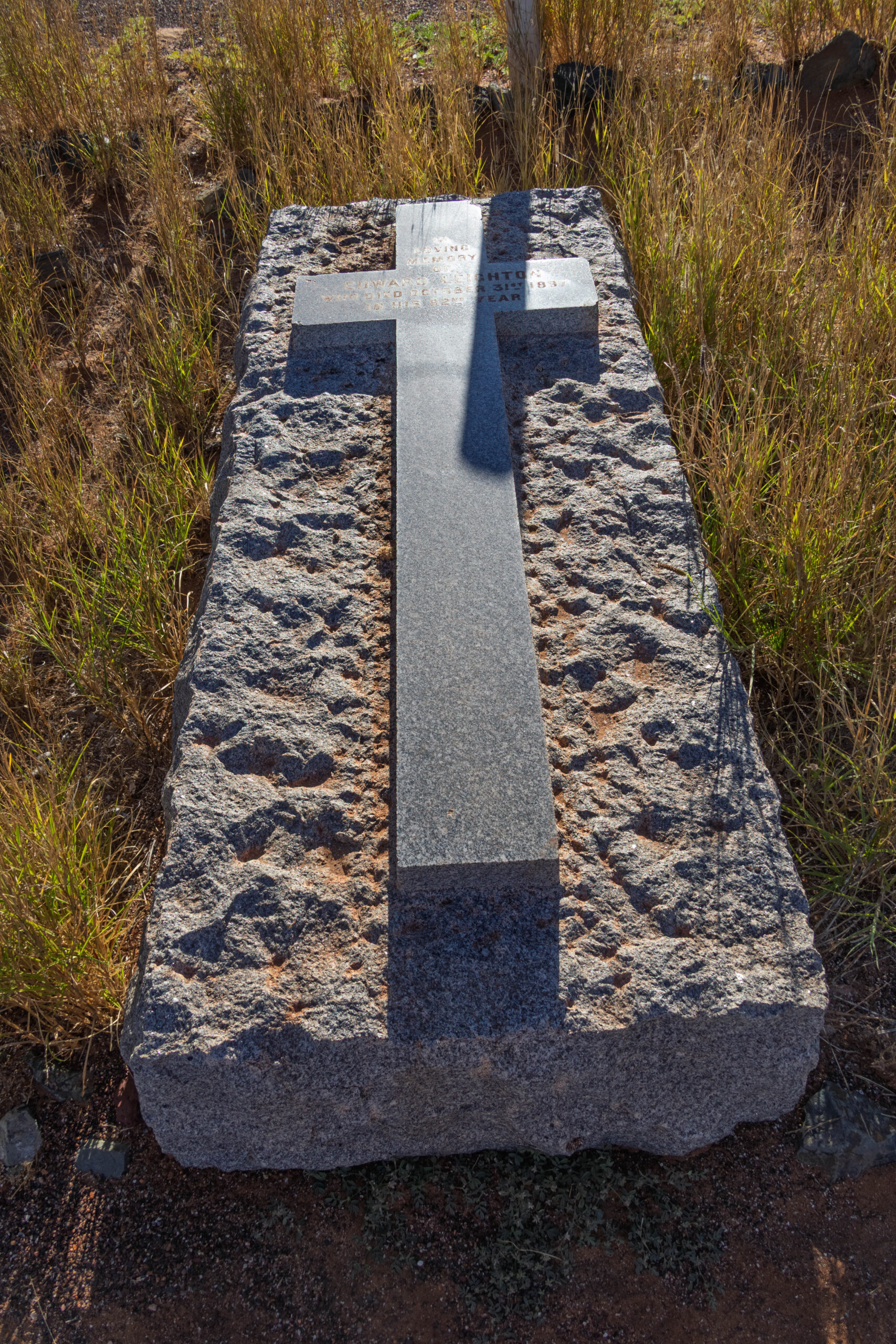
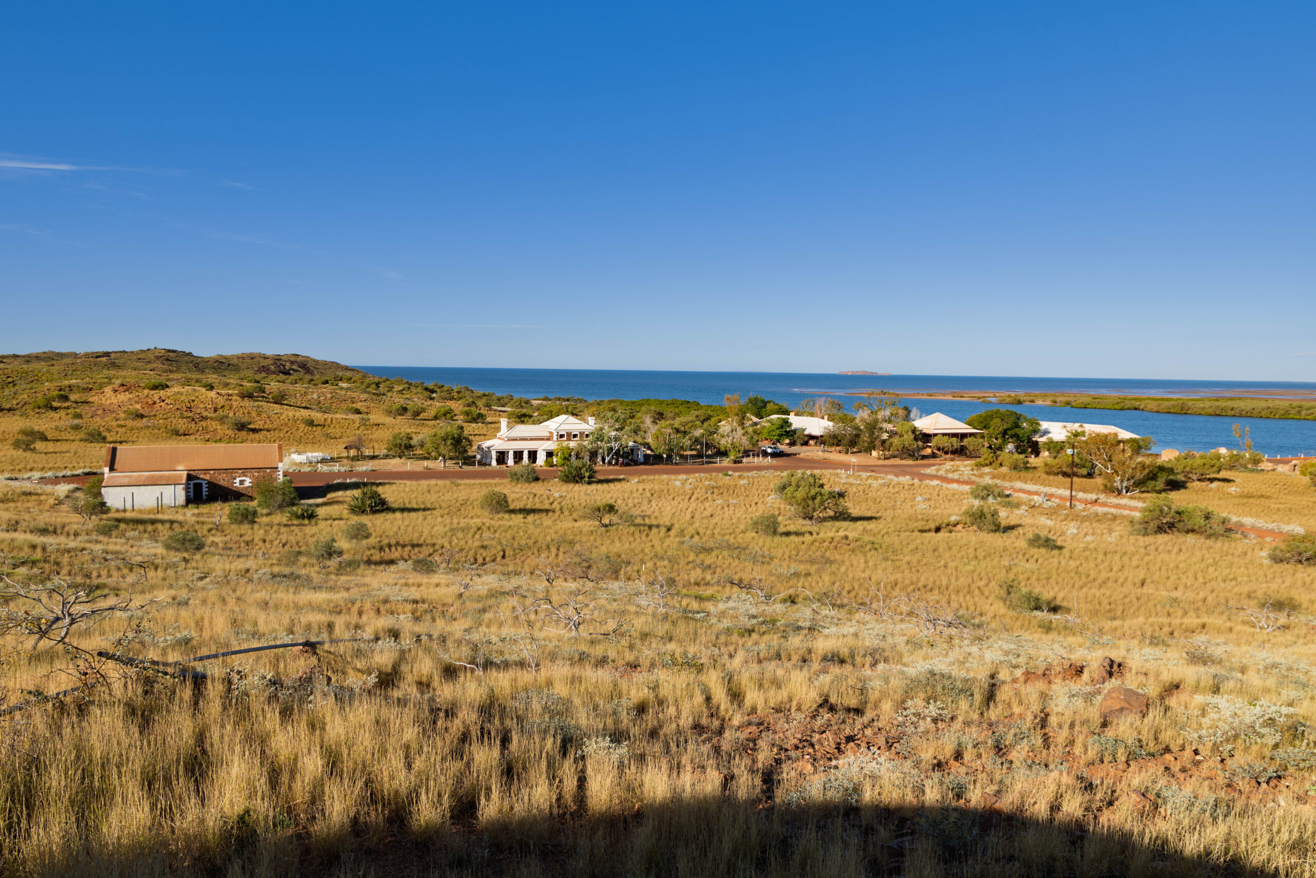
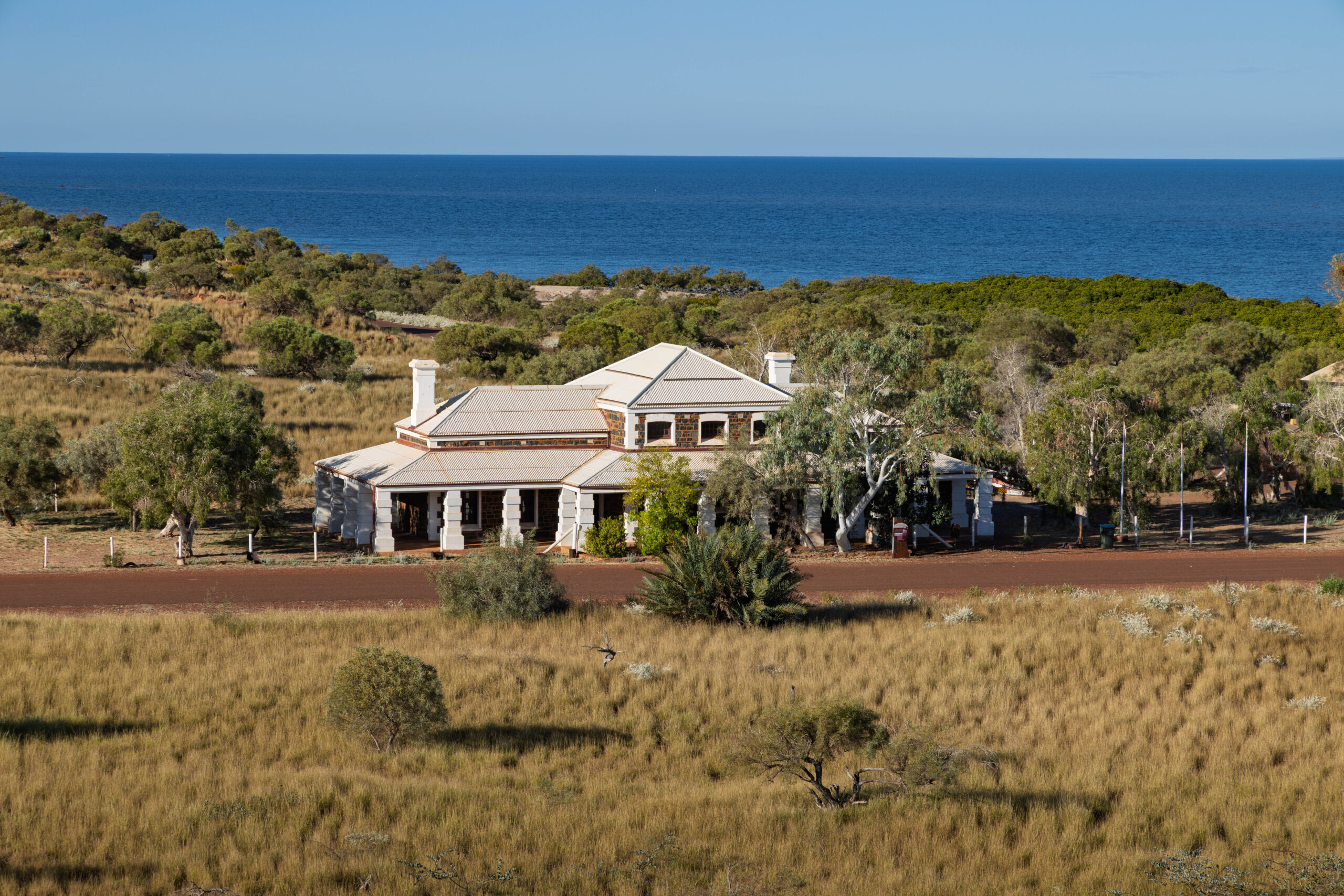
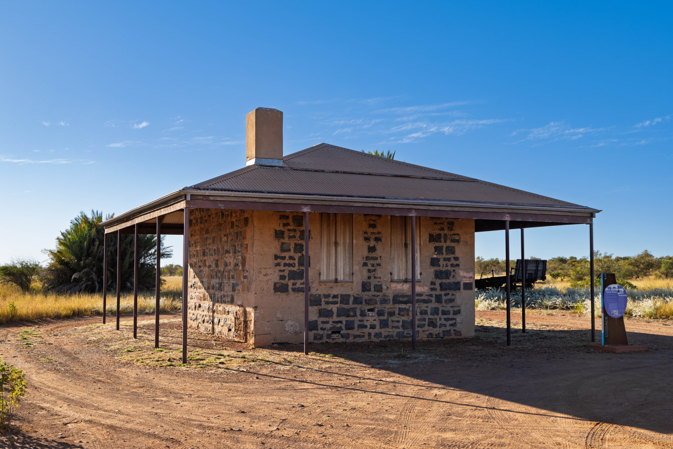
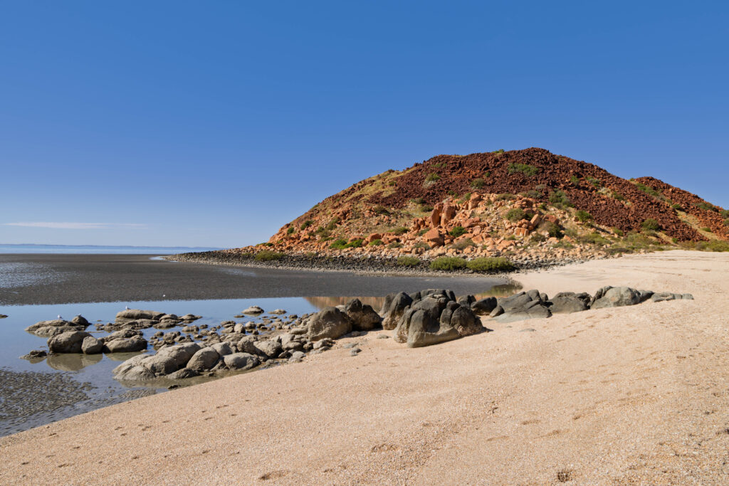
Our final stop was in the historic ‘ghost town’ of Cossack. Before Point Samson was established, Cossack was a thriving pearling and gold rush port in the 1800s. It is now an open-air museum featuring restored 19th-century bluestone architecture. We wandered around the old buildings, admiring the old Customs House & Bond Store, the Police Barracks, Cookhouse & Lockup, the Courthouse, the Galbraith Store, Post Office & Telegraph Office and the Cossack Wharf. We drove out to the Reader Head Lookout and stopped at the cemetery, before driving up to the Tien Tsin Lookout on our way to the School House and Tramway.
And, would you believe, Google doesn’t always tell the truth? When talking about visiting Cossack last night, we had written it off because Google said it was closed on Sunday. With it being an open air museum, we’re not sure how much more we could have seen when it is open?? We were more than happy with wandering around the buildings as they were this afternoon but, perhaps, you can go into some of the buildings Monday to Saturday?
Time to head back to Karratha, where we refuelled at the Ampol Service Station, ready to continue southward tomorrow. Next stop, Onslow.
Steps: 10,430 (6.57kms)