
Tuesday, 11 August 2026
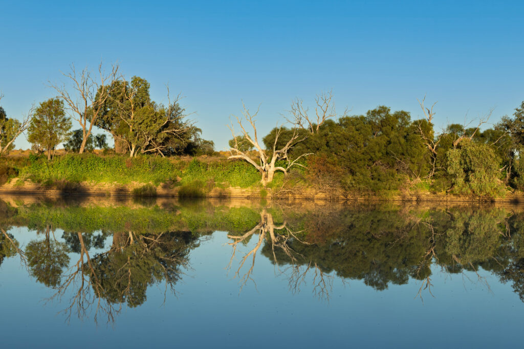
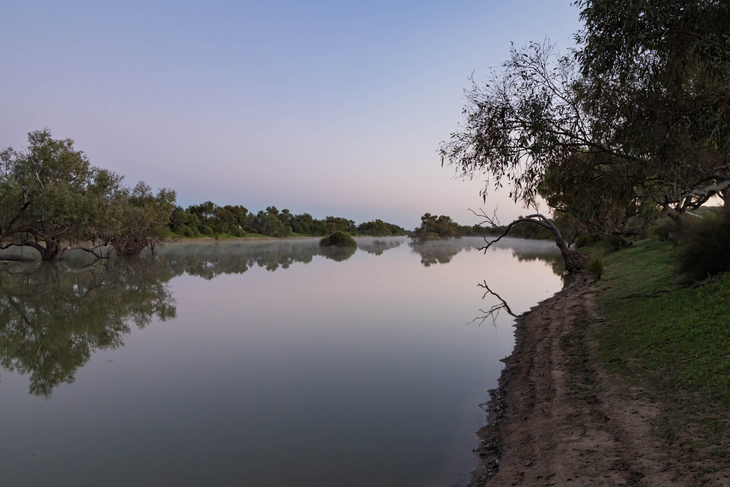
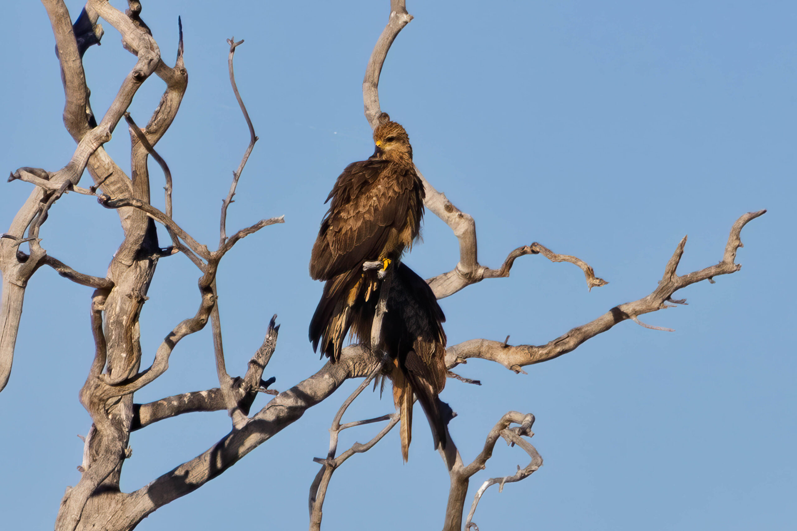
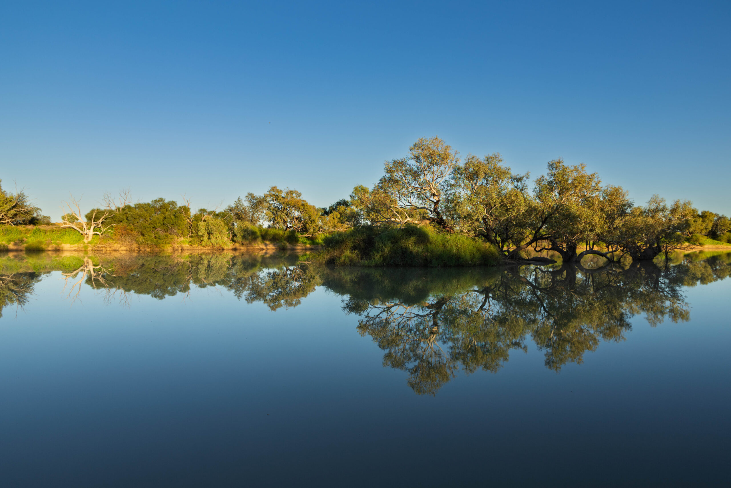
I went to sleep last night with my beanie on. With my head lovely and warm all night I slept so much better than the night before. With all the bird life on the creek last night we thought that we would be woken at first light this morning with all the birds waking up to start their day. The birdlife was actually unexpectedly subdued in the early morning and our alarm woke us up at quarter to seven. Sunrise was actually late for us this morning, camped as we were between the creek and the next dune. However, the creek itself was so atmospheric with mist rising from the still water and birds gradually starting to become active. We witnessed the food chain at work with a bird of prey (kite? falcon? hawk?) perched in a tree opposite, with the body of a cormorant in its talons. Breakfast, I guess?
Being so close to the creek, we had a heavy dew overnight, so our fly was wet. Seeing as we have become quite efficient at packing up our camp, we decided that we would eat breakfast first in the hope that the sun – when it finally came up over the dune – would dry our fly before we packed it away. Bernie was checking our account balances while he ate breakfast. And, it was good news, with a deposit from an insurance company to the value of the camera lens that Bernie had lodged a claim for, less our $250.00 excess. Have to say that the annual travel insurance policy that we took out with Qantas Travel Insurance last year before travelling to NZ has been totally worth the premium.
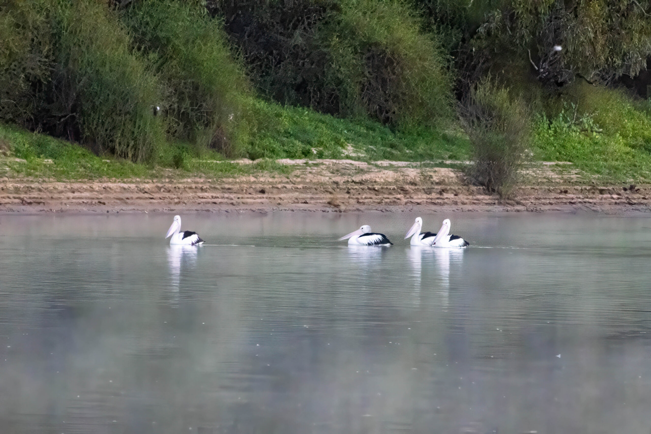
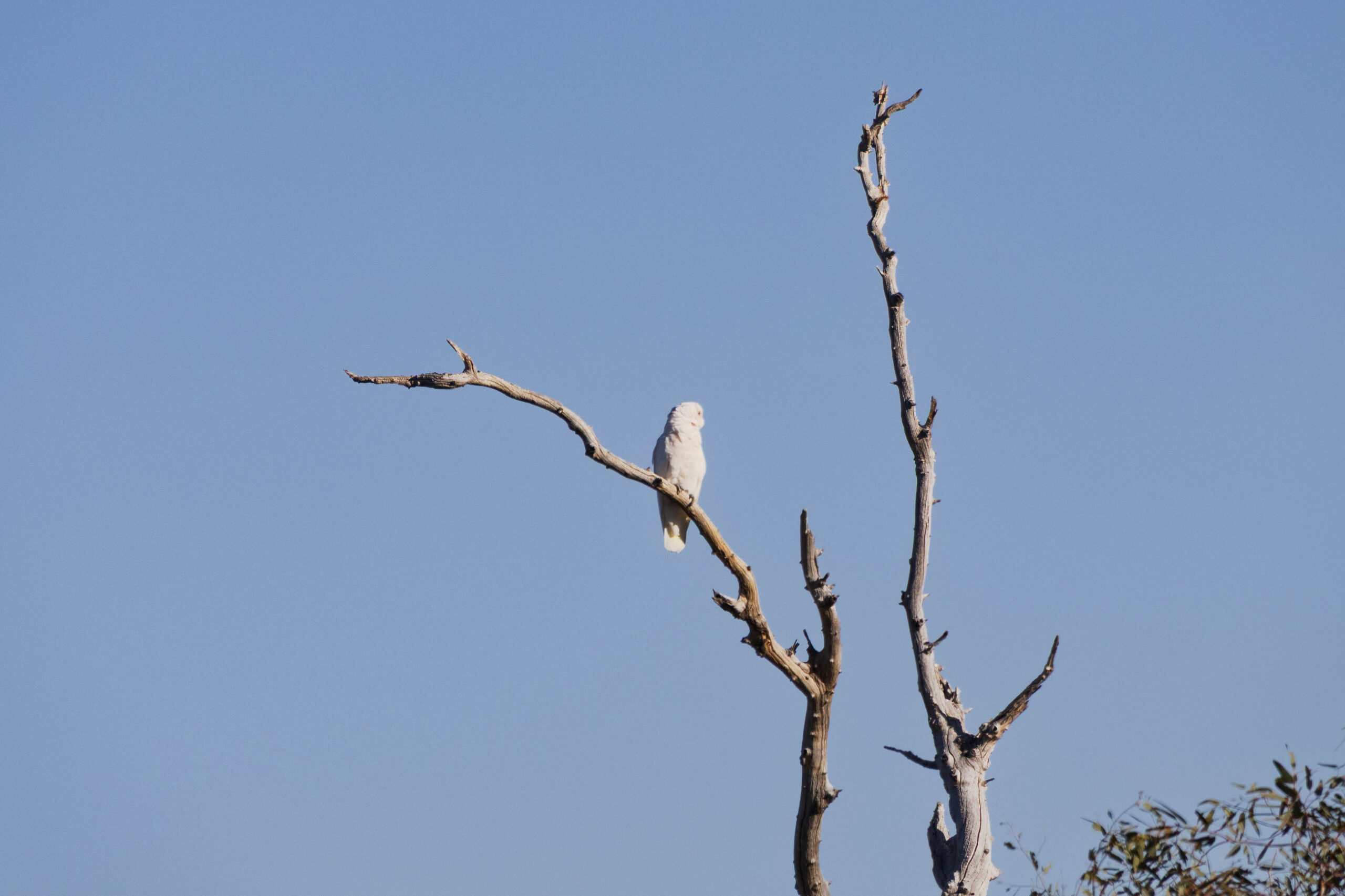
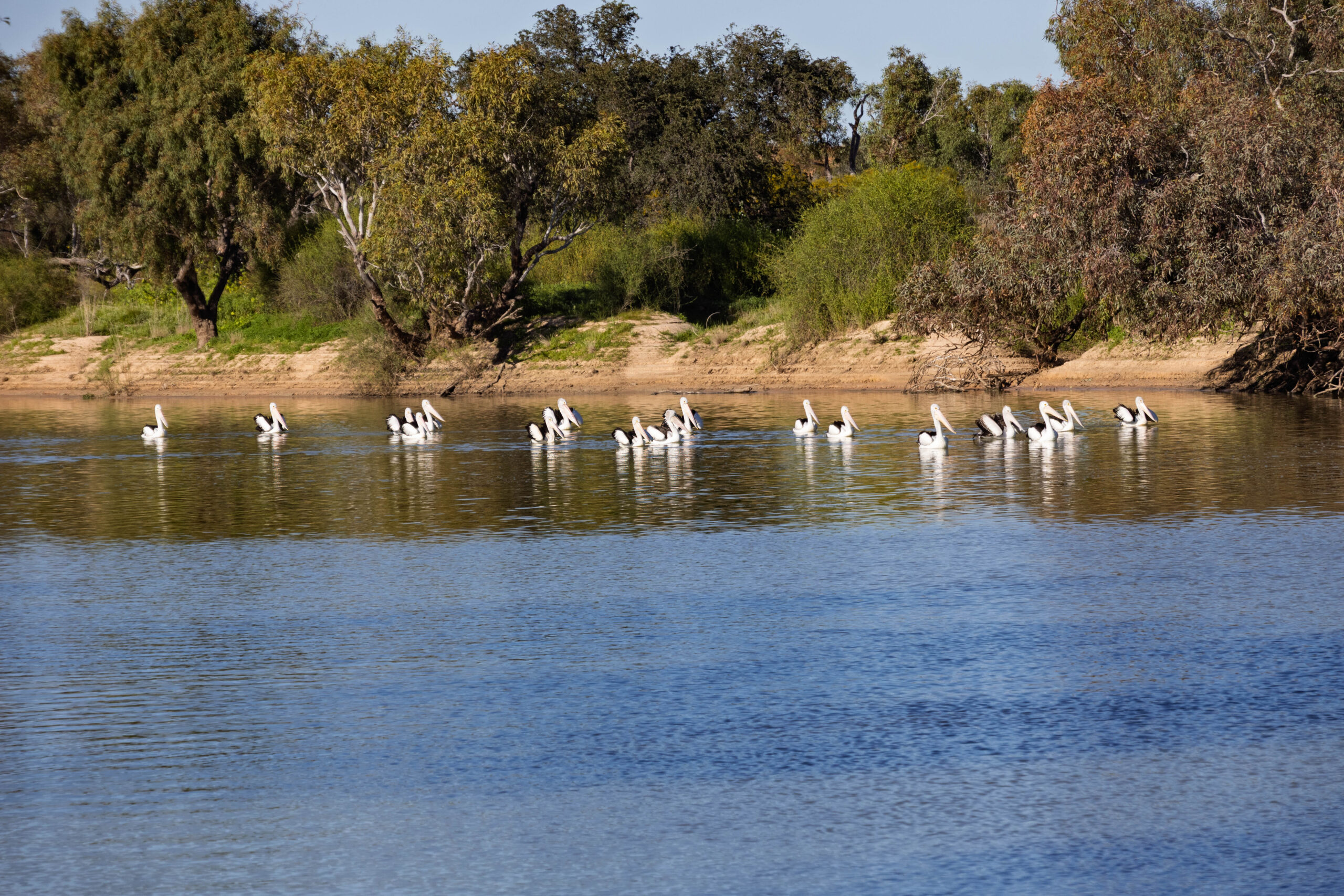
With our campsite all packed and loaded back onto the roof rack, we had some spare time to watch the birds. There were so many birds around the creek with cockatoos and galahs living alongside birds of prey and pelicans, cormorants and herons. I snapped away taking photos in the hope that some will turn out well. I crossed my fingers that at least a few of my attempts to capture birds on the wing would turn out.
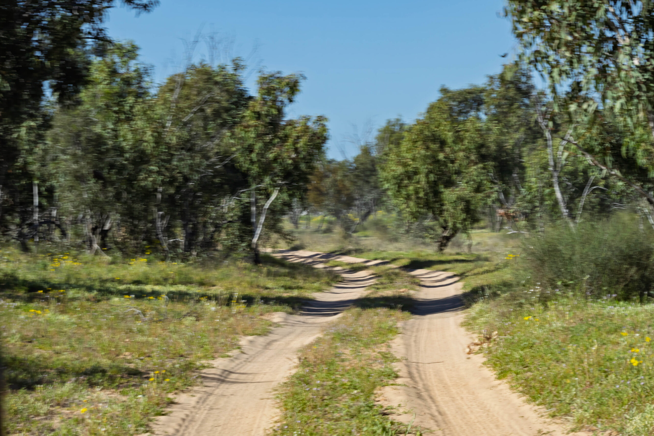
We rolled out of camp at 9.32am … or was it 9.02am? We’re not sure if everyone was operating on Eastern Standard Time and we had a late start or if some were still on Central Time? It doesn’t matter, we were on our way heading south on the Eyre Creek Bypass road. The Eyre Creek can be crossed further south on the QAA Line … if the water level allows. We crossed yesterday at the alternate crossing to the north, which is more reliably navigable. At the moment the water level remains high at the southern crossing.
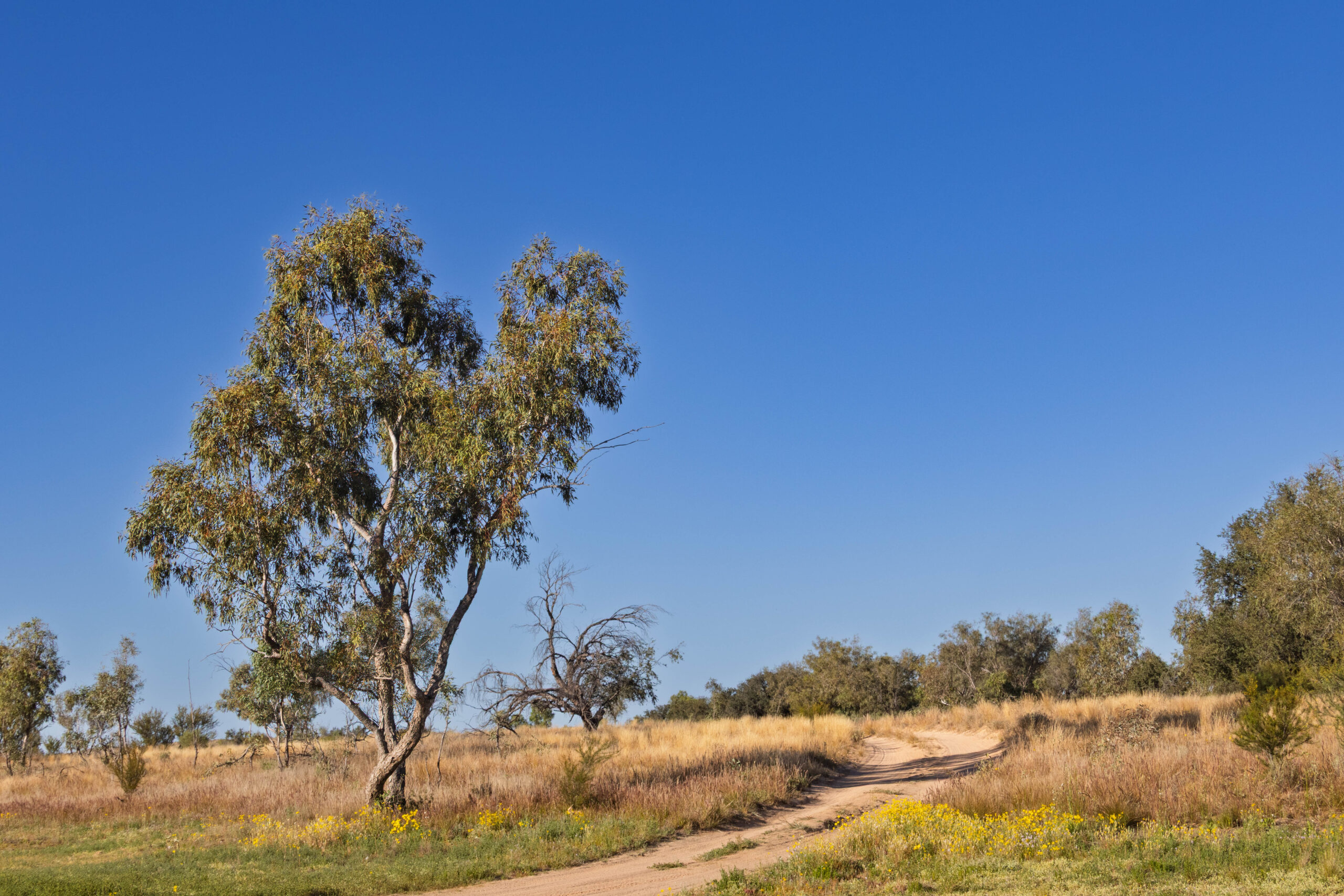
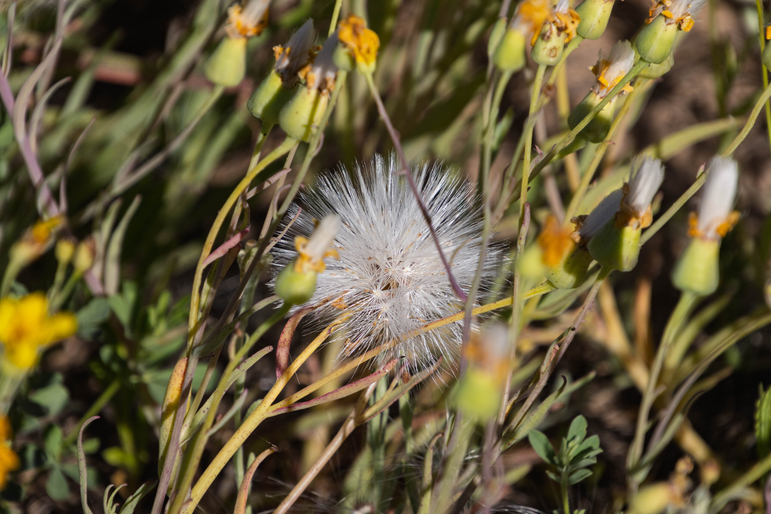
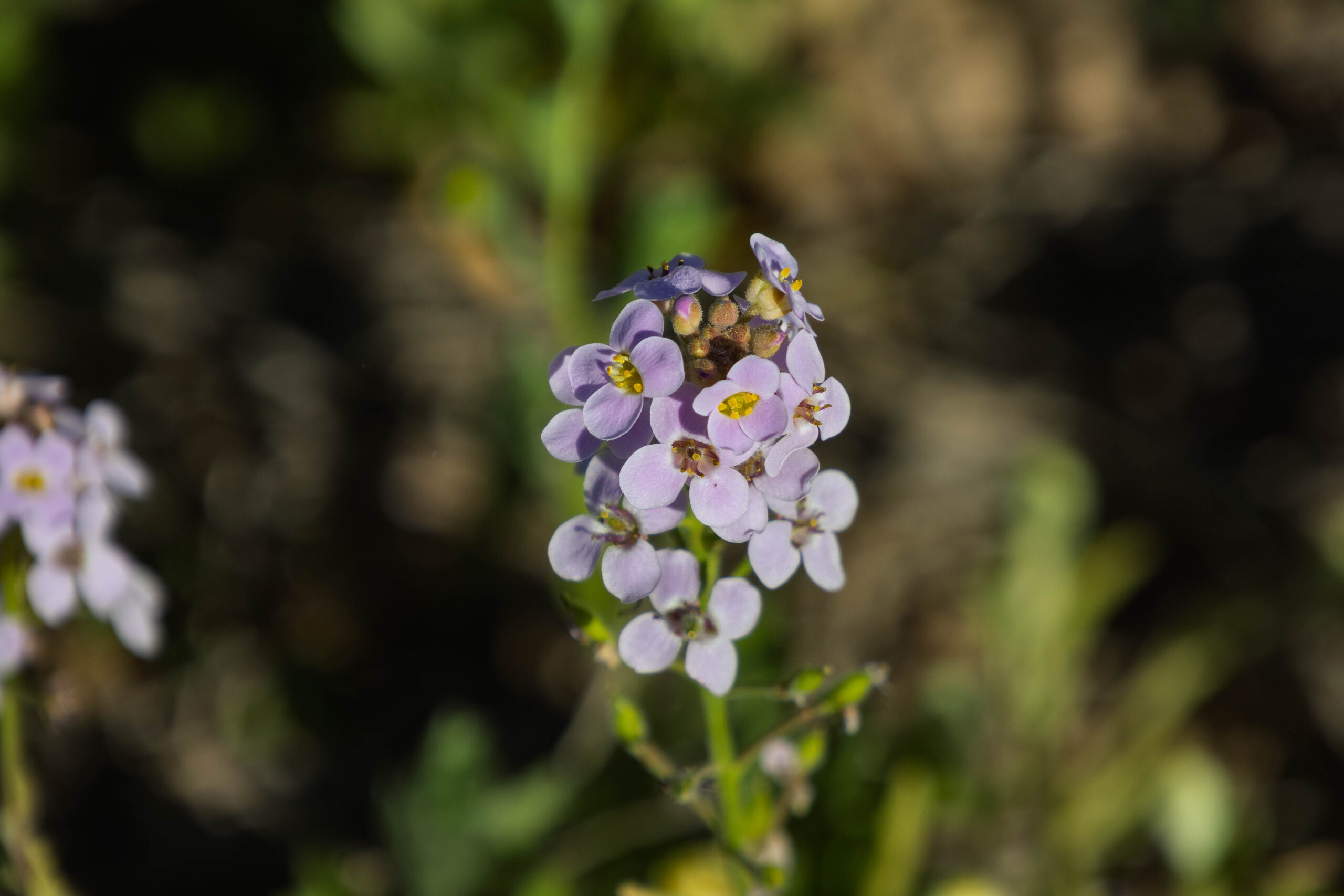
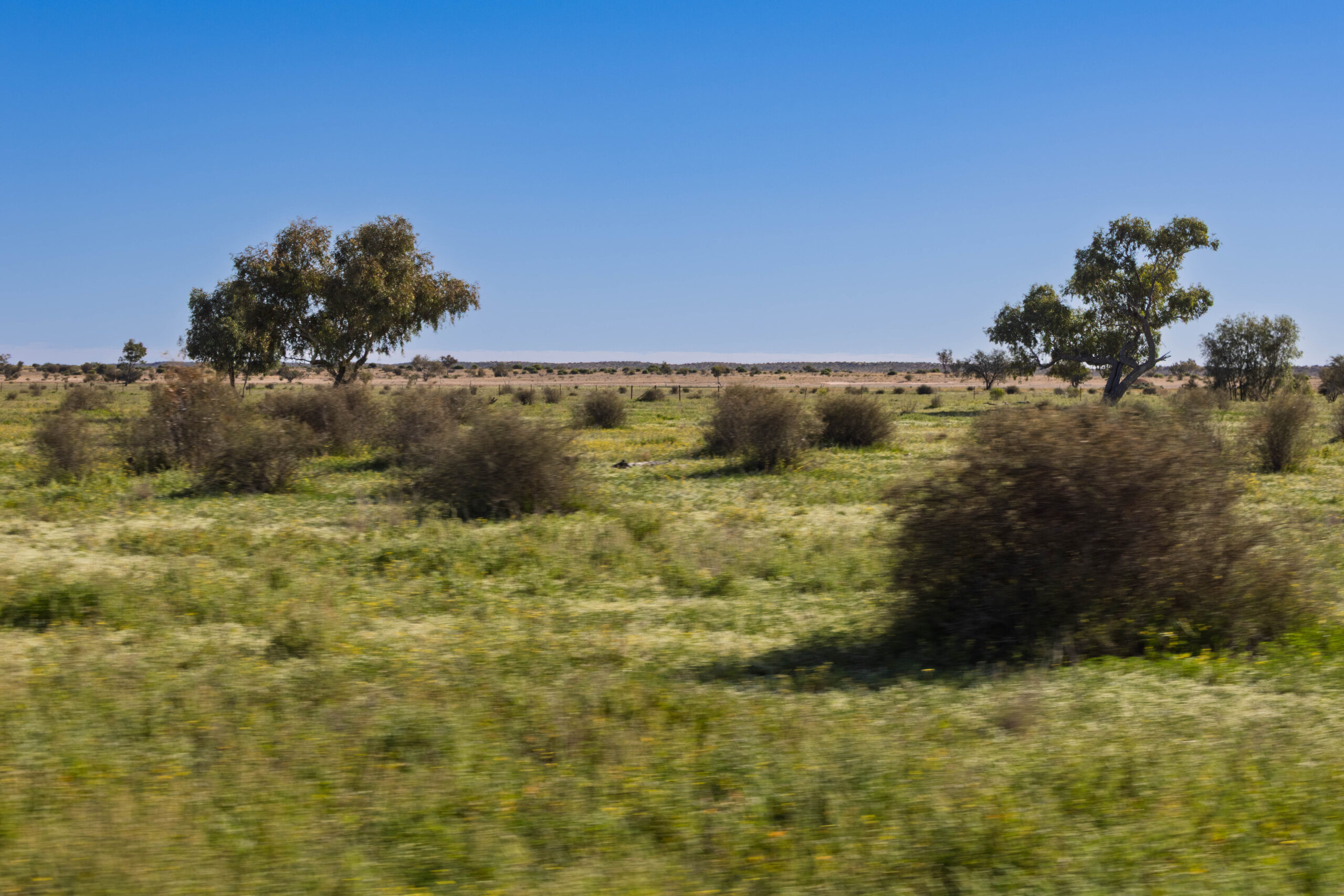
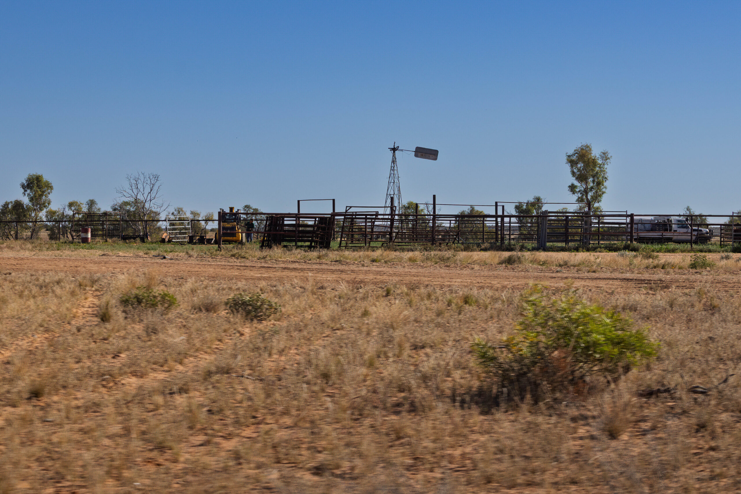
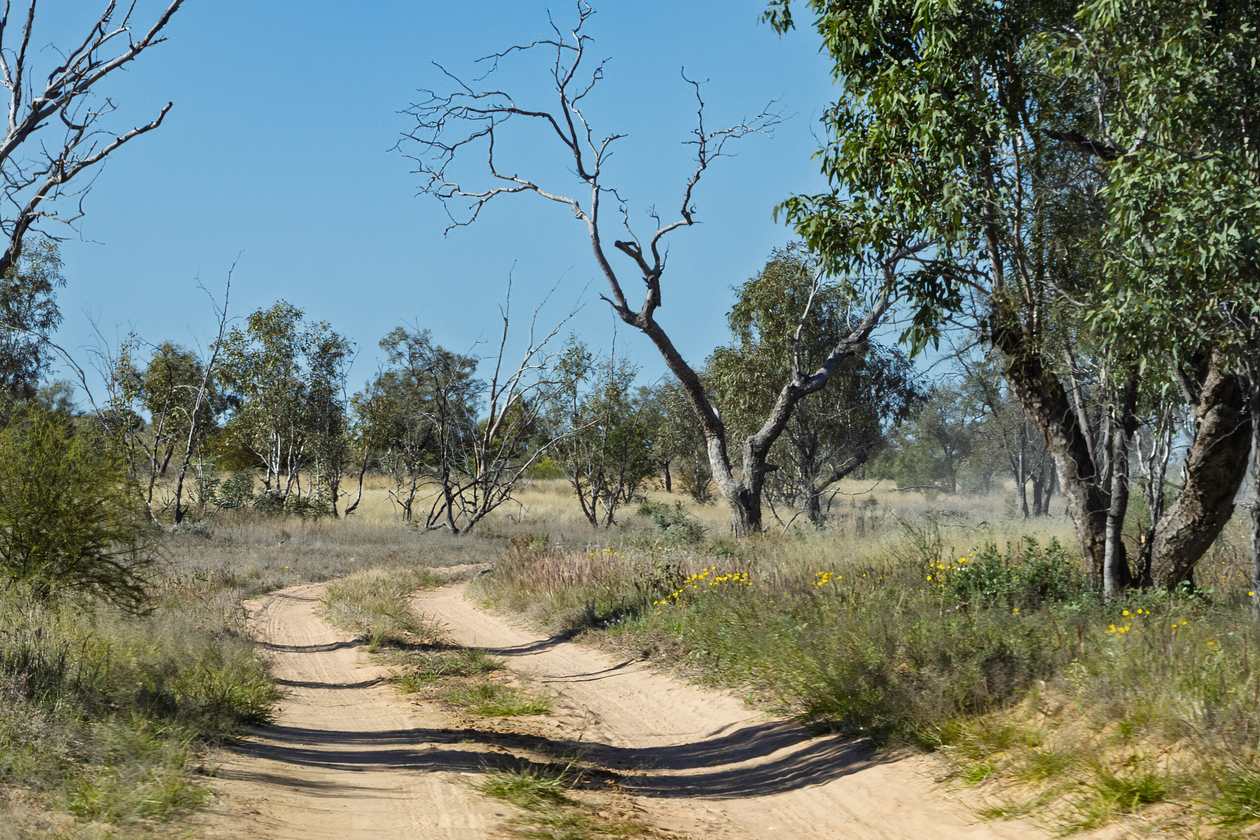
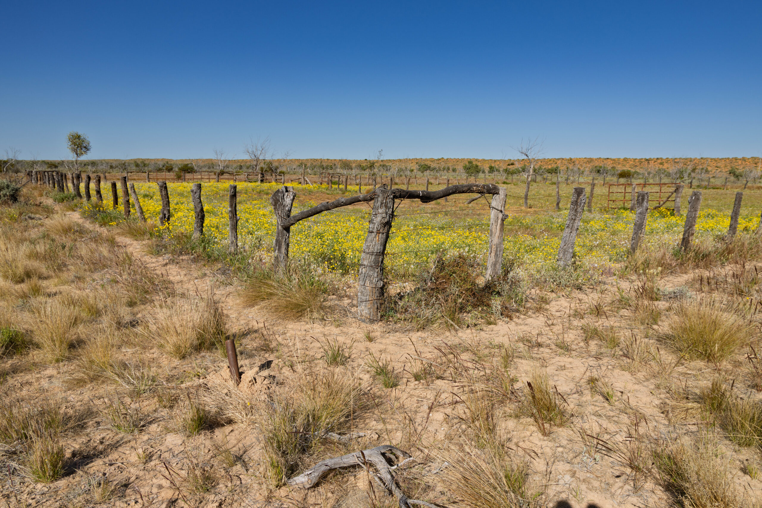
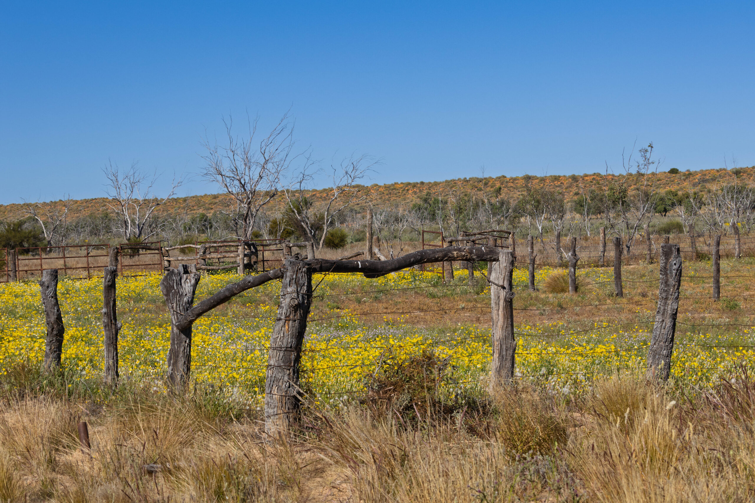
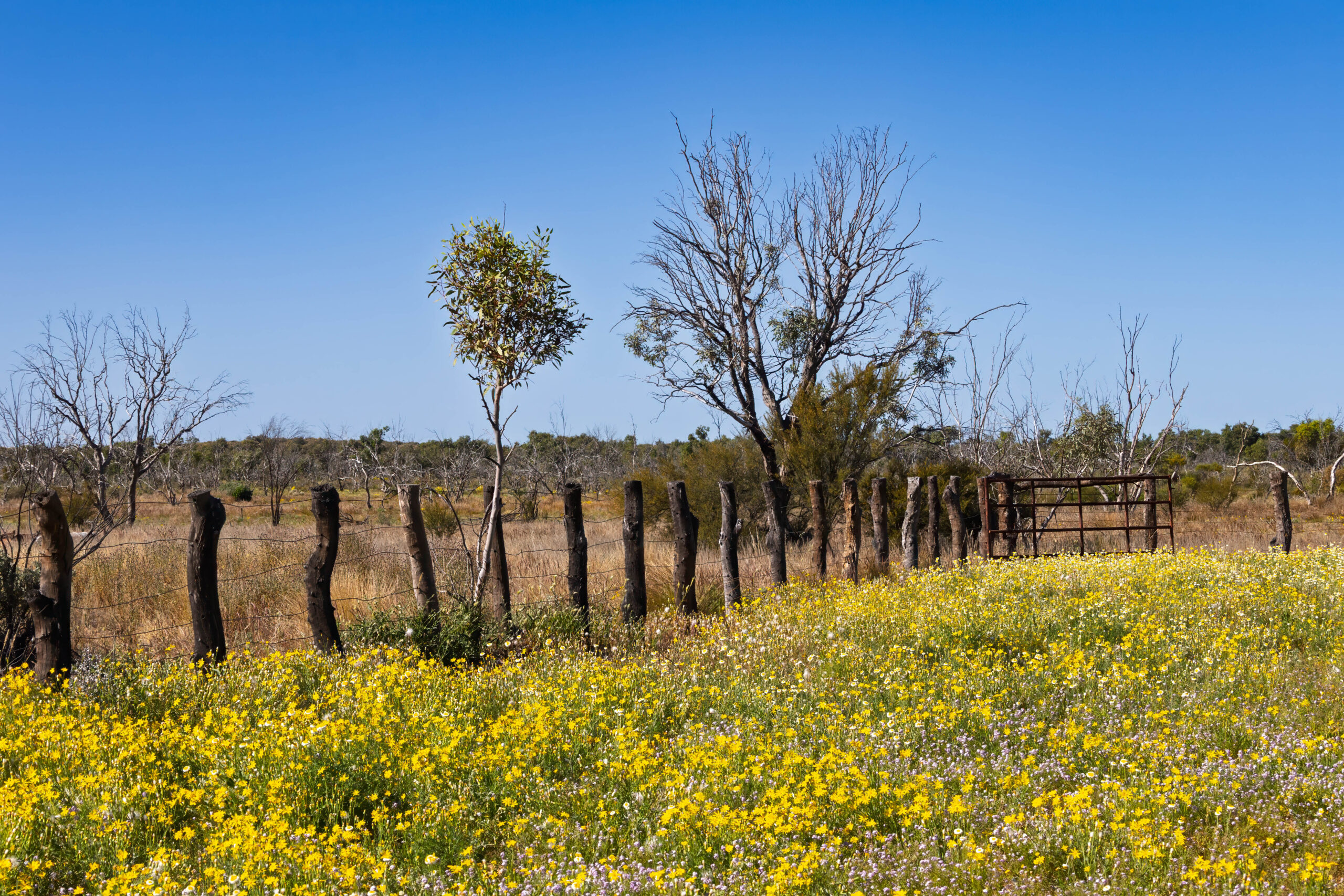
Once again, travelling close to a water source, this time Eyre Creek, the vegetation was incredible with eucalypts and wildflowers aplenty. After about 45 minutes we arrived at an old stockyard where we stopped to take photos. The stockyard made from rough and gnarly fence posts was filled with yellow wildflowers and it looked stunning. Bernie cracked a joke about the flowers being so wild they had to be fenced in, ha, ha.
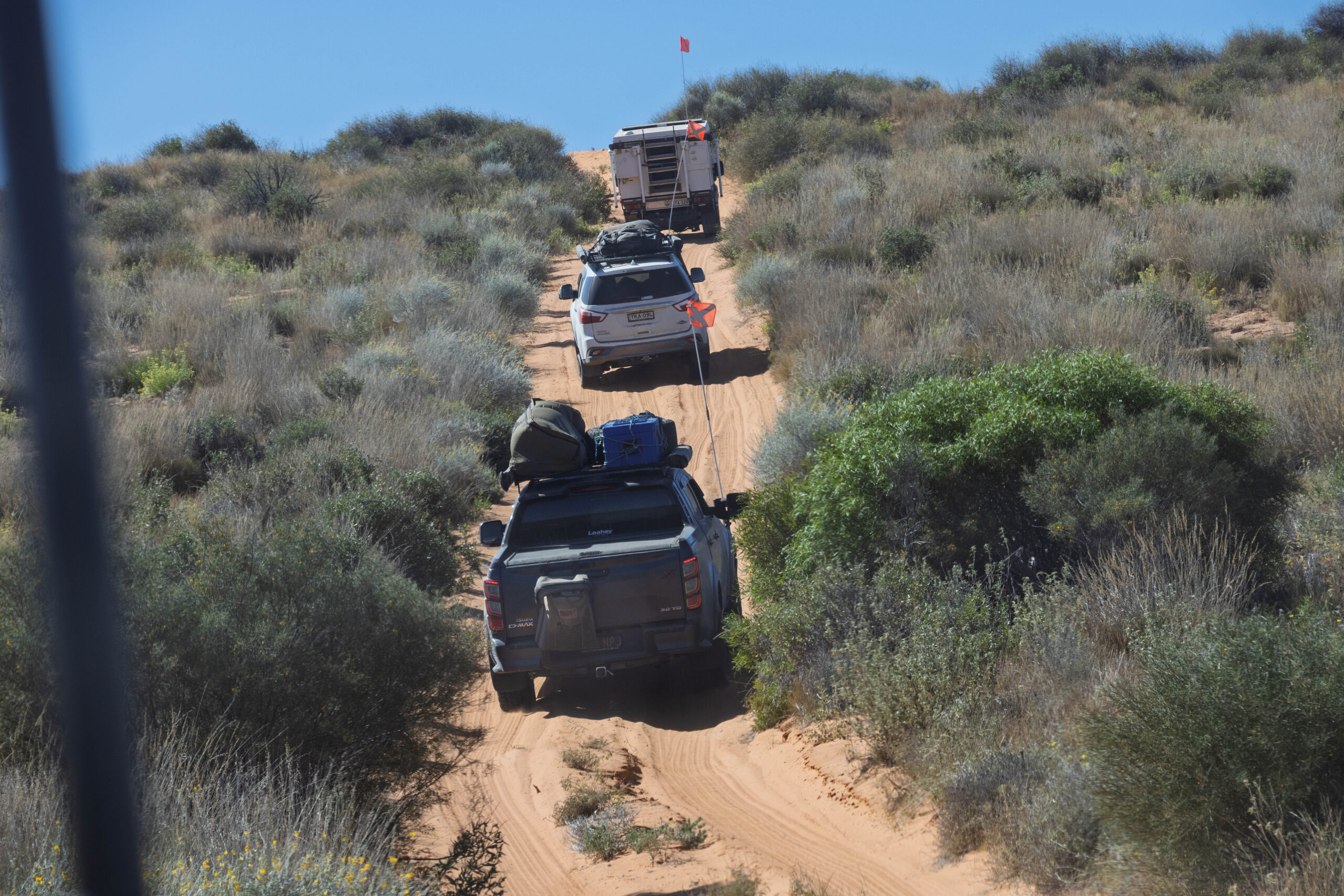
After driving 27 kilometres on the bypass road in the swale one dune to the east of Eyre Creek, we arrived at the QAA Line to head east towards Big Red and Birdsville. With two way traffic allowed on the QAA Line, this is where things got a little bit exciting (scary) and we were very glad of John’s experience. Because there is two way traffic on a single track road, that traverses sand dunes that obscure oncoming traffic, there are designated call points where travellers are supposed to announce on Channel 10 that they are travelling between Call Point # and Call Point # and their direction of travel. John was also advising the number of vehicles in our convoy.
We were only crossing our second dune on the QAA line when we encountered oncoming traffic. Two vehicles, no sand flags and no call made over the radio that they were travelling westward between Call Point 4 and Call point 5. John estimates that he was within about 20 seconds of encountering them head on, on top of the dune. John chatted to them for a while and pretty much established that they had no idea. They were heading for Poeppel Corner, which marks the meeting point of the NT, SA and Queensland. It’s named after Augustus Peoppel, the surveyor who marked the SA/Qld border in 1880 (well before South Australia’s ‘Northern Territory’ was handed over to the Federal Government in 1911). Aside from not having sand flags to make them visible BEFORE they reach the top of dunes and not using Channel 10 to notify other travellers of their movements, they didn’t know about the Eyre Creek Bypass to navigate Eyre Creek.
Soon after we encountered another group of three vehicles who pulled over to let our convoy of 13 pass by. It was slightly incongruous seeing one of the vehicles with surfboards on its roof rack. We are 1,700 kilometres from the coast, why did it have surfboards on the roof? The only other traffic that we passed was two rangers in two vehicles, heading west into the Simpson Desert to patrol for a couple of days.
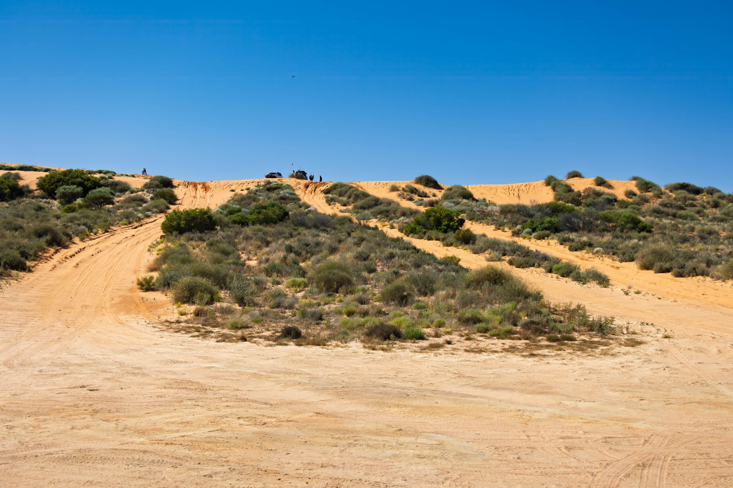
Nearing noon we arrived at Nappanerica, the big red dune that is the highest dune in the Simpson Desert. The dune was given its nickname, Big Red, by Denis Bartell. Travelling into the eastern part the desert we have certainly noted the wider interdune valleys that are characteristic of this side of the desert compared with the narrower valleys and smaller dunes in the west.
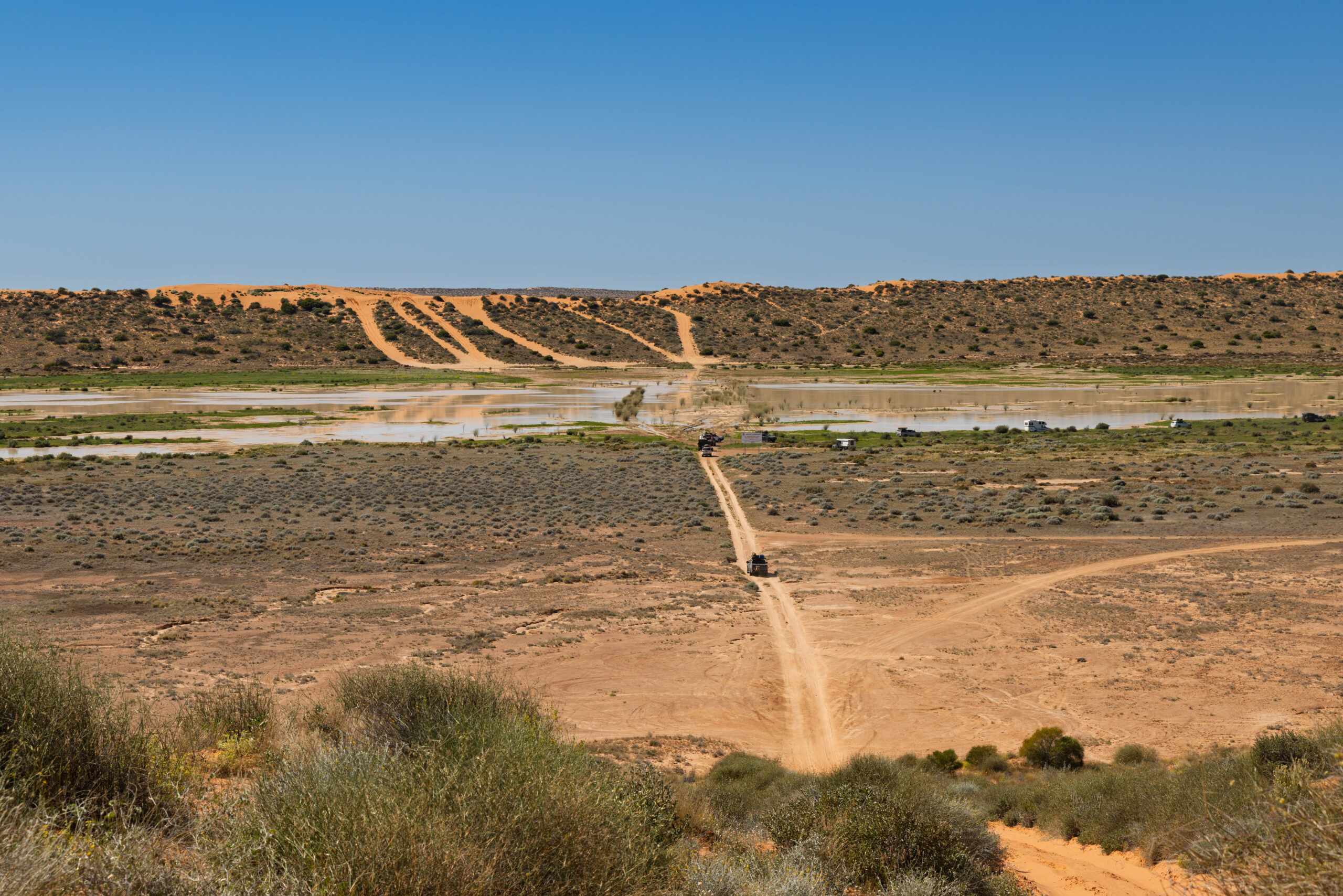
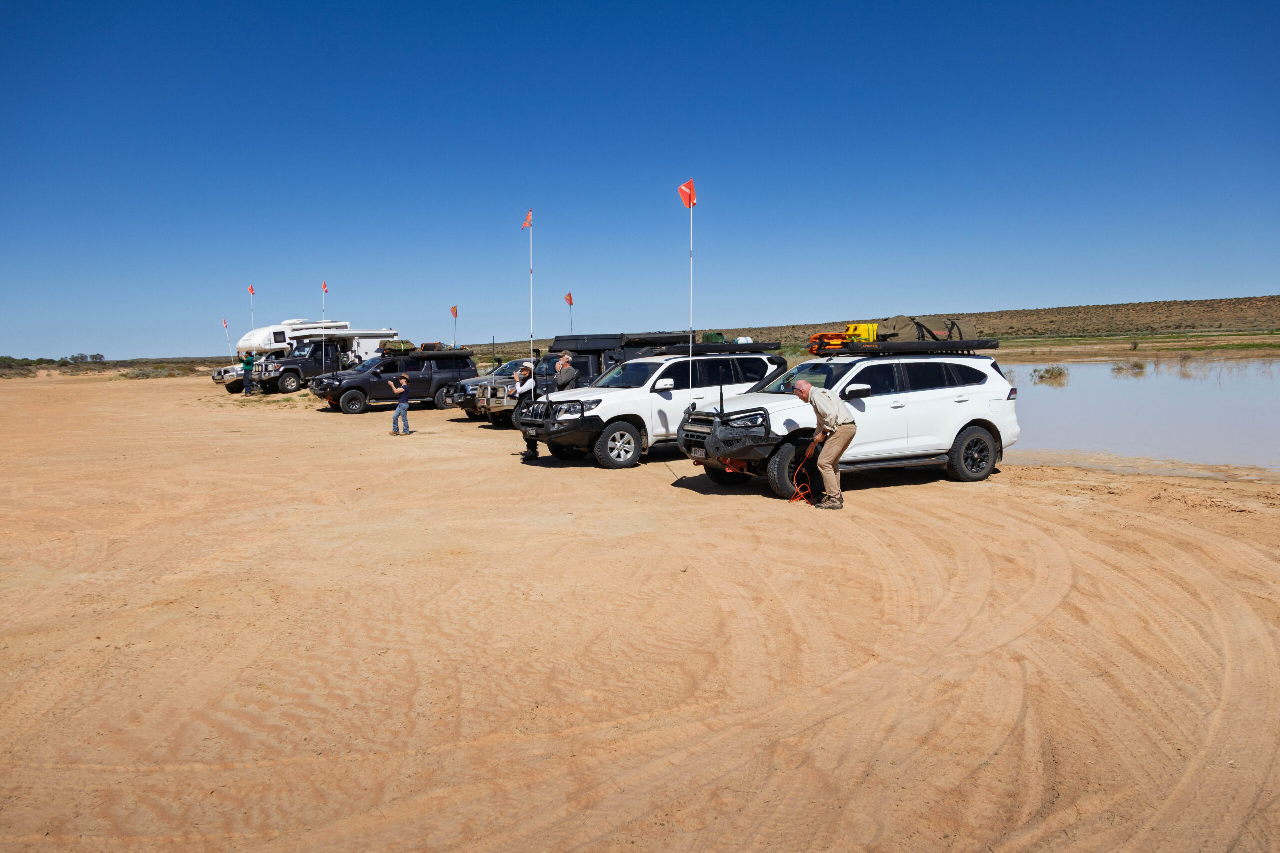
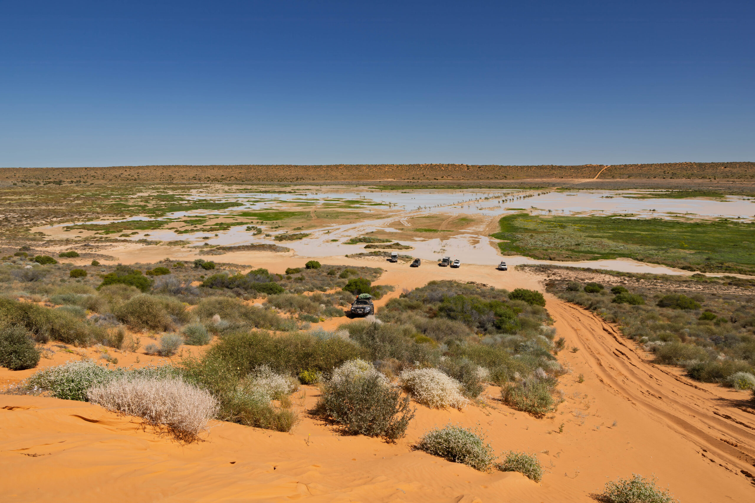
There was water over the direct approach to Big Red, so we had to navigate a circuitous route to reach the base of the dune. We all lined up at the base of Big Red and most drivers reduced their tyre pressures even further, with most dropping to under 20psi to, hopefully, make it easier to reach the top of Big Red.
Then the assaults commenced. Some tried and failed first time and had to have a few goes before they were over the dune. Happy to record that Bernie in the Isuzu ‘truck’ made it on his first attempt. Woo, hoo. A few of the group took the chicken run to the top of the dune and others made multiple runs up and over the dune. Bernie was happy to have done it in one and decided to leave it at that rather than risk spoiling is 100 percent success rate.
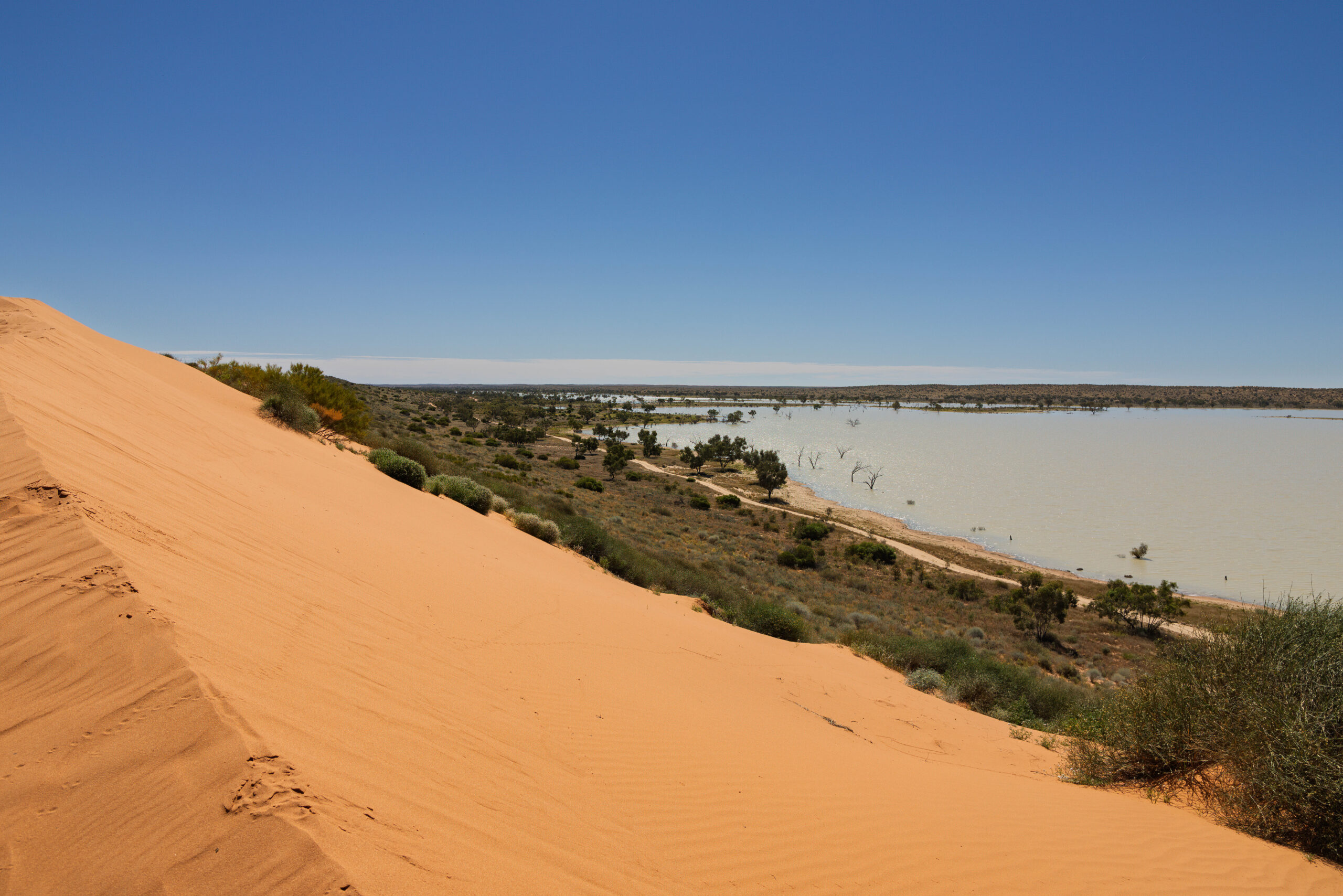
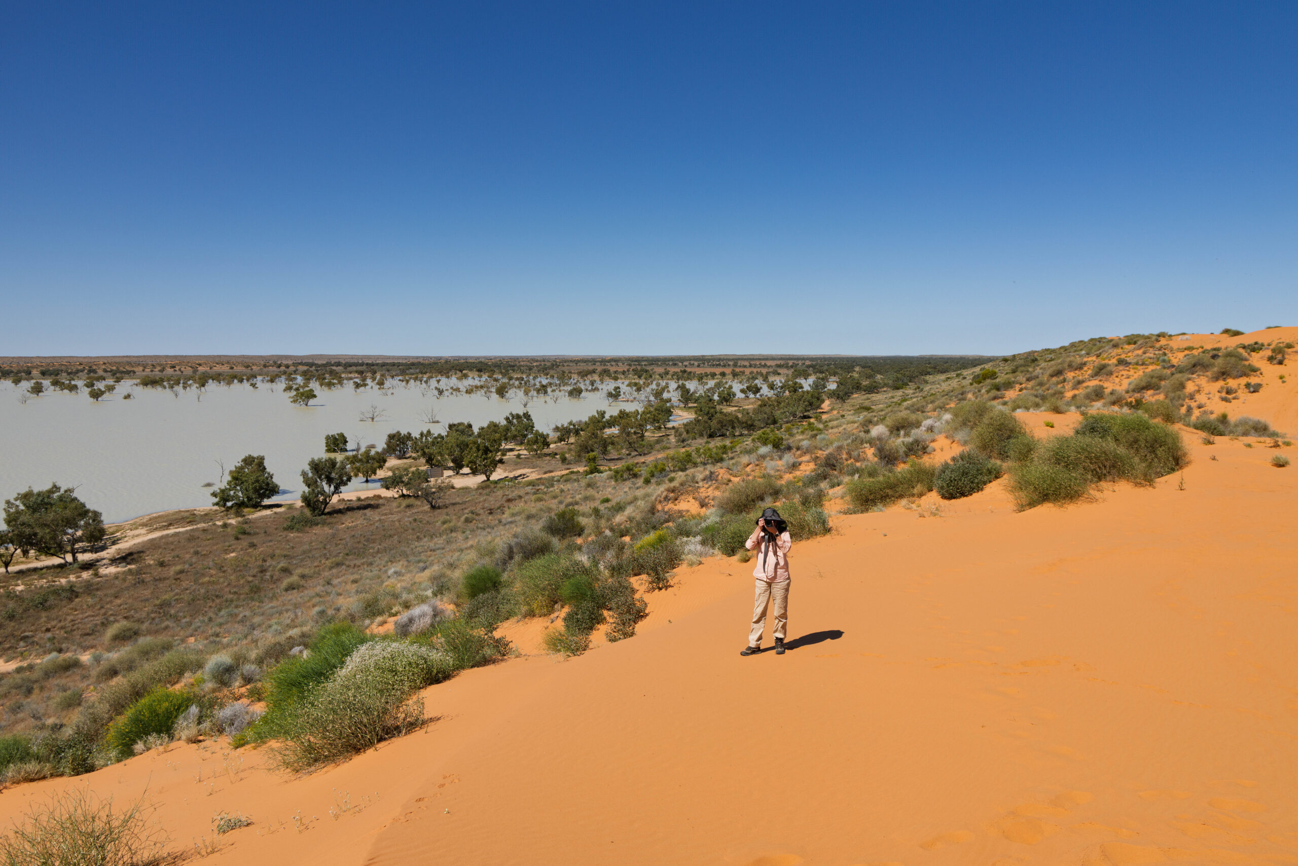
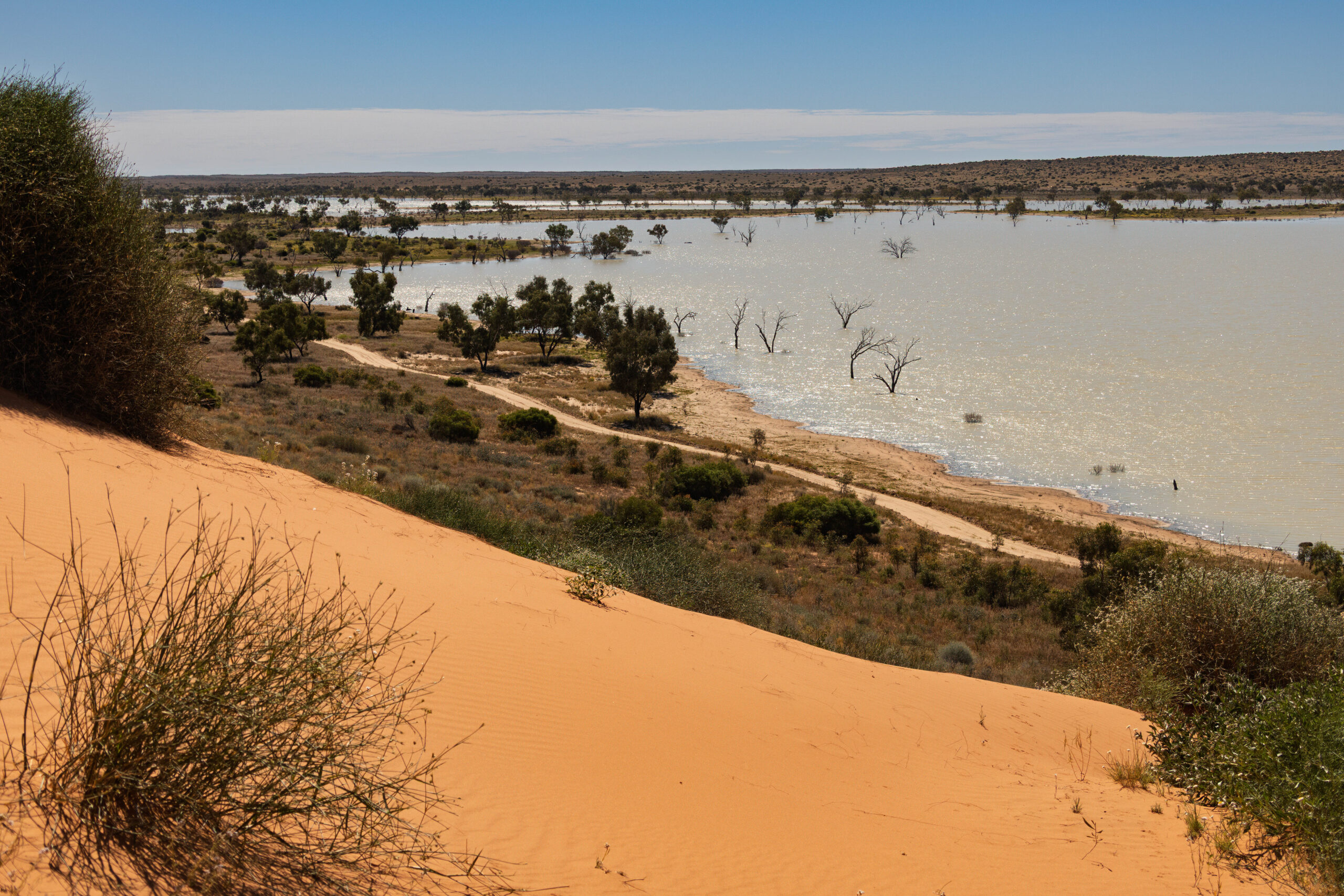
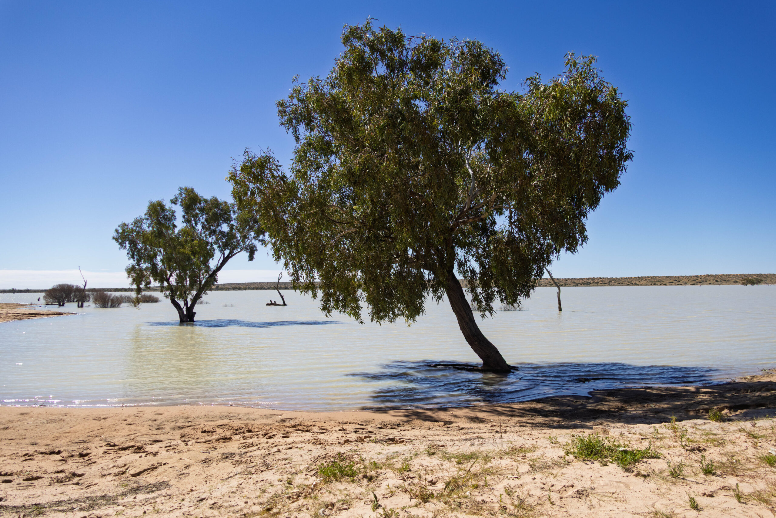
Tracy recruited a random stranger on top of Big Red to take a group photo of the triumphant Dingo Pack in front of the Dingo Trax 4×4 on top of Big Red. After more than an hour conquering Big Red, we made our way down the other side. Currently there is a lake of water in the swale to the east of Big Red. It looks quite picturesque as a lake and it was hard to imagine that this vast area hosts the annual Big Red Bash, Australia’s biggest outback music festival. The 2026 Bash was scheduled for the 7th to the 9th of July, but had to be cancelled for the second year in a row due to the site being underwater.
Not far from the base of Big Red, we rolled onto the bitumen to complete the last 36 kilometres into Birdsville. About a kilometre before we reached the town, we turned out to make a stop at the rubbish dump. Ah, civilization??! Some of us have burnt rubbish on out nightly campfires since John told us at the beginning of our trip that there’s no environmentally friendly disposal of rubbish out here, they burn it. Sure enough, we pulled into the dump site and there was a smoky, smelly fire smoldering away in the pit. We added our rubbish filled bags to the fire, ugh, and continued towards town.
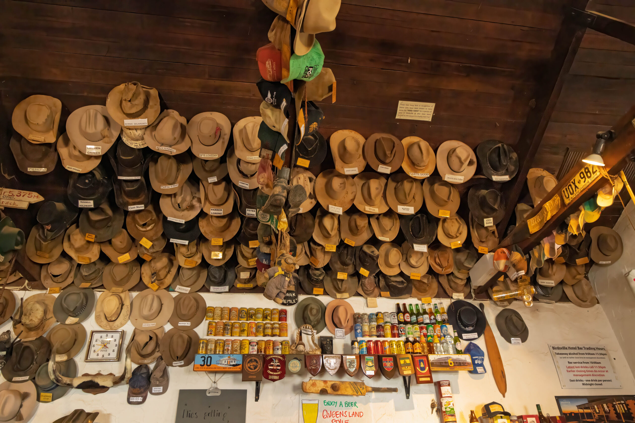
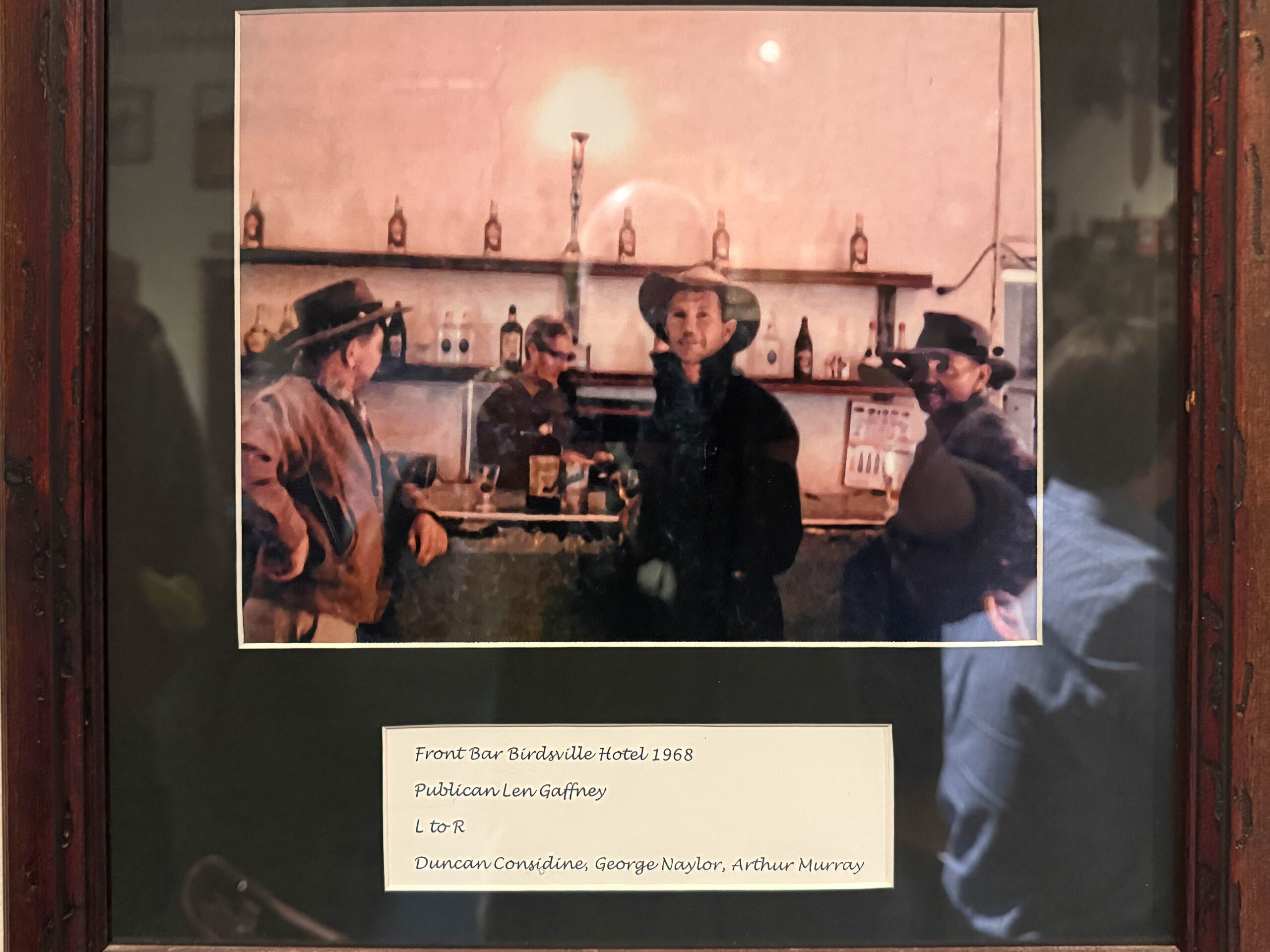
We pulled up at the Birdsville Pub and went in for a drink, as you do after eleven days in the desert. We had spent lunchtime on Big Red so most of the group purchased bags of chips for a late ‘lunch’. It’s not the first time we’ve had a bag of chips for lunch but we certainly don’t make a habit of it!
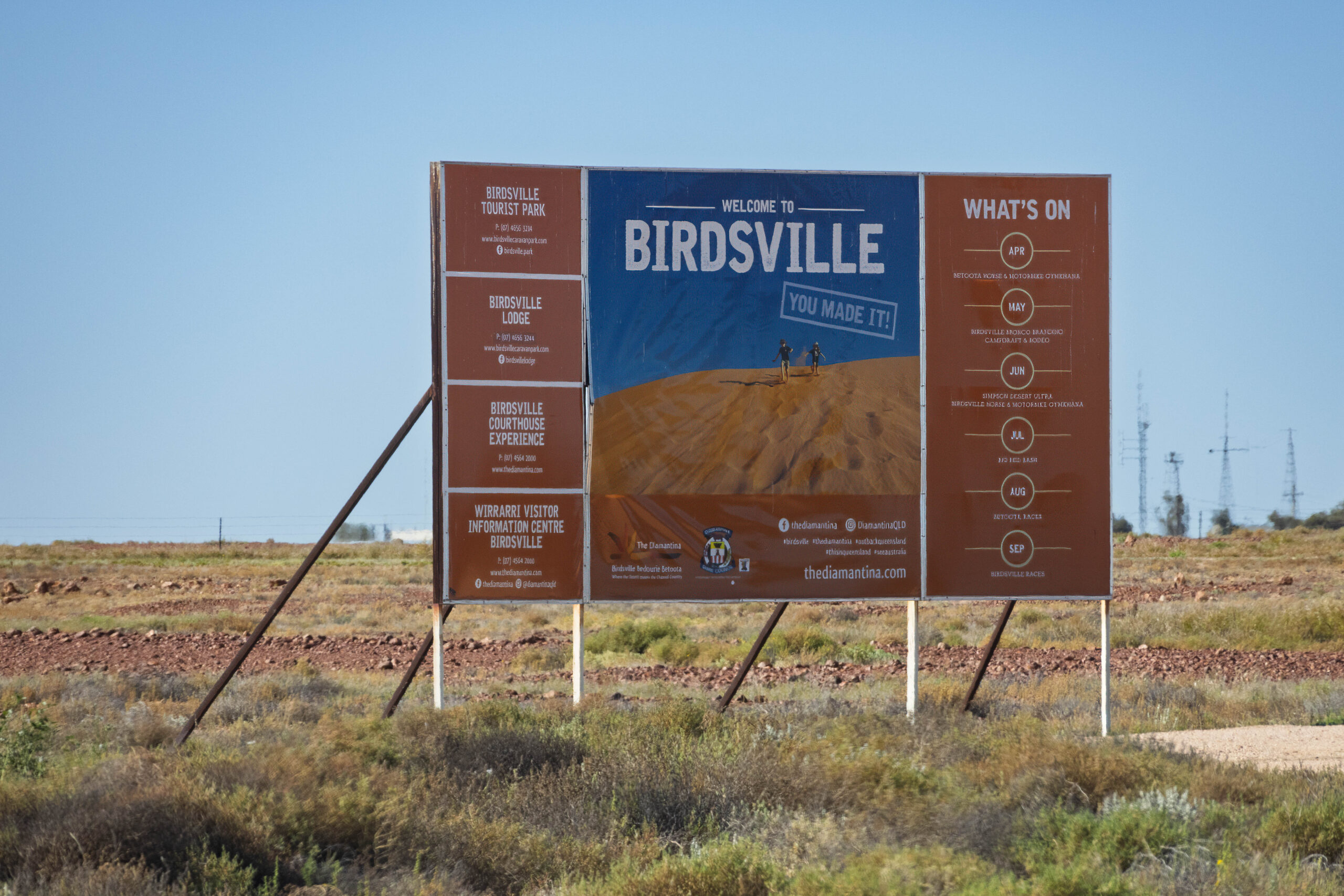
From the pub, John led us on a quick orientation tour of Birdsville so that we would be able to find our way around tomorrow. We went past the roadhouse, the caravan park, the visitor information centre, the hardware store, the bakery and the police station before driving out of town and over the Diamantina River. On the eastern side of town, John pointed out the turn off to the Burke and Wills Tree and the Birdsville Racecourse before leading us back into town and turning us loose to organise ourselves for what was left of the afternoon.
We checked in to our cabin in the Birdsville Tourist Park. We had barely moved any of our gear into our cabin when the census lady appeared on our deck to hand over a census form for us to fill in. She advised us that as we are occupying the cabin for the night, we must fill in the form as the occupants of the cabin. I think we then have to complete something that records against our home census number that the address was vacant on census night. I need to check that online. In the meantime we have a paper census form to complete here, tonight.
We were very excited to have a hot shower, heck any shower, after days and days of using wet wipes to freshen up! After his shower, Bernie headed off to the outskirts of town to find the dump point and take care of the PortaPotti. Meanwhile, back at the cabin, I took care of a bit of handwashing to make sure we have clean underwear for the rest of our trip.
At dinner time we headed over to the pub where we met the rest of the gang in the Green Lizard Lounge. The lounge’s name stems from one of Birdsville’s hottest summers on record. Extensive flooding isolated the town from all directions and, consequently, the pub ran out beer. There was however, copious quantities of Créme de Menthe and lemonade, and so ‘Green Lizards’ became the only alcoholic drink available. No-one tried a ‘Green Lizard’ this evening, everyone stuck to beer, wine and soft drinks.
Eyre Creek to Birdsville – 90 kilometres (27 dunes)
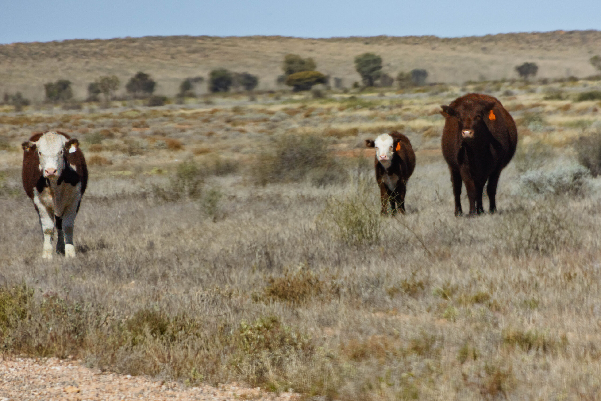
Hah! Was that really a relation at the Birdsville pub Bernie?