Monday, 10 August 2026
It was cold, cold, COLD overnight! I ended up dragging my fleece beanie out of my puffer vest pocket in the middle of the night to keep my head warm. Fortunately, I was wearing my puffer vest and beanie when I went into the swag last night, so I had them at the foot of the bed. I slept much more comfortably for the rest of the night with my beanie on. The wind had dropped by the time we went to bed last night and we did discuss whether or not to put the fly on. Hmm, coulda, shoulda, didn’t! According to the weather app it was 8.5°C this morning BUT felt like just 3.1°C. This was a HUGE temperature variation from the night before when it remained in the high teens overnight.
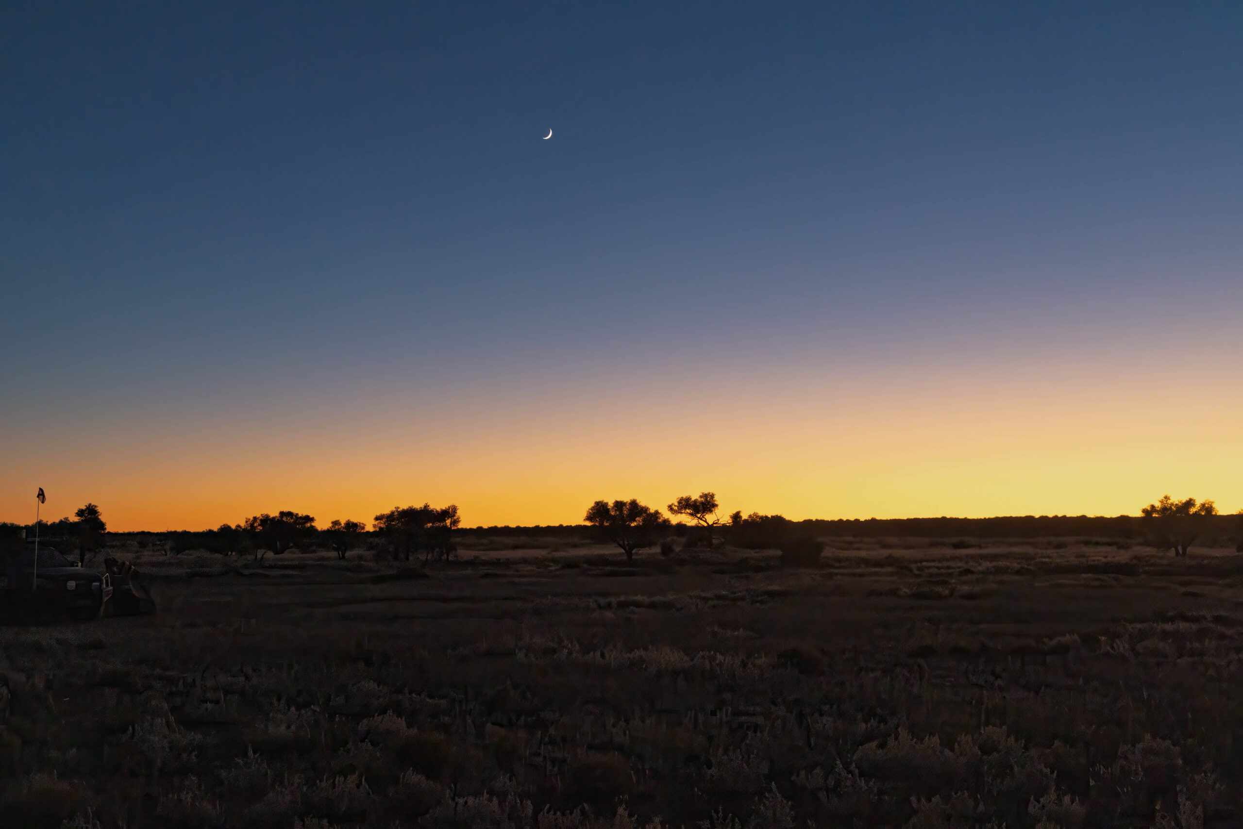
Despite the very cold start to our morning, we were treated to another glorious sunrise. I was able to experience the sunrise by peeking out of the swag’s opening, so didn’t even have to get out of bed to see it. I couldn’t stave off the inevitable though, and soon had to tumble out of the swag half dressed to complete my ablutions and dressing in the toilet tent.
All packed up and breakfast eaten, we wandered over to the campfire to warm our hands while we waited for everyone to be ready to move out. Word around the campfire was that we would be camping at Eyre Creek tonight rather than making it into Birdsville. Nooooo, I said to the girls, I’m not psychologically prepared for that …
We were called over to look at the map on the bonnet of one of the vehicles for a confab to discuss today’s route and the likely distance that would be covered. Will we or won’t we reach Birdsville?? It was all but confirmed that we were unlikely to see civilisation by the end of the day. Without knowing what the day will bring in the way of unexpected difficulties/delays, it was impossible for us to be promised cabins and hot showers tonight. Oh, well, at this point another day without showering probably makes little difference anyway. I just had to suck it up and get on with it.
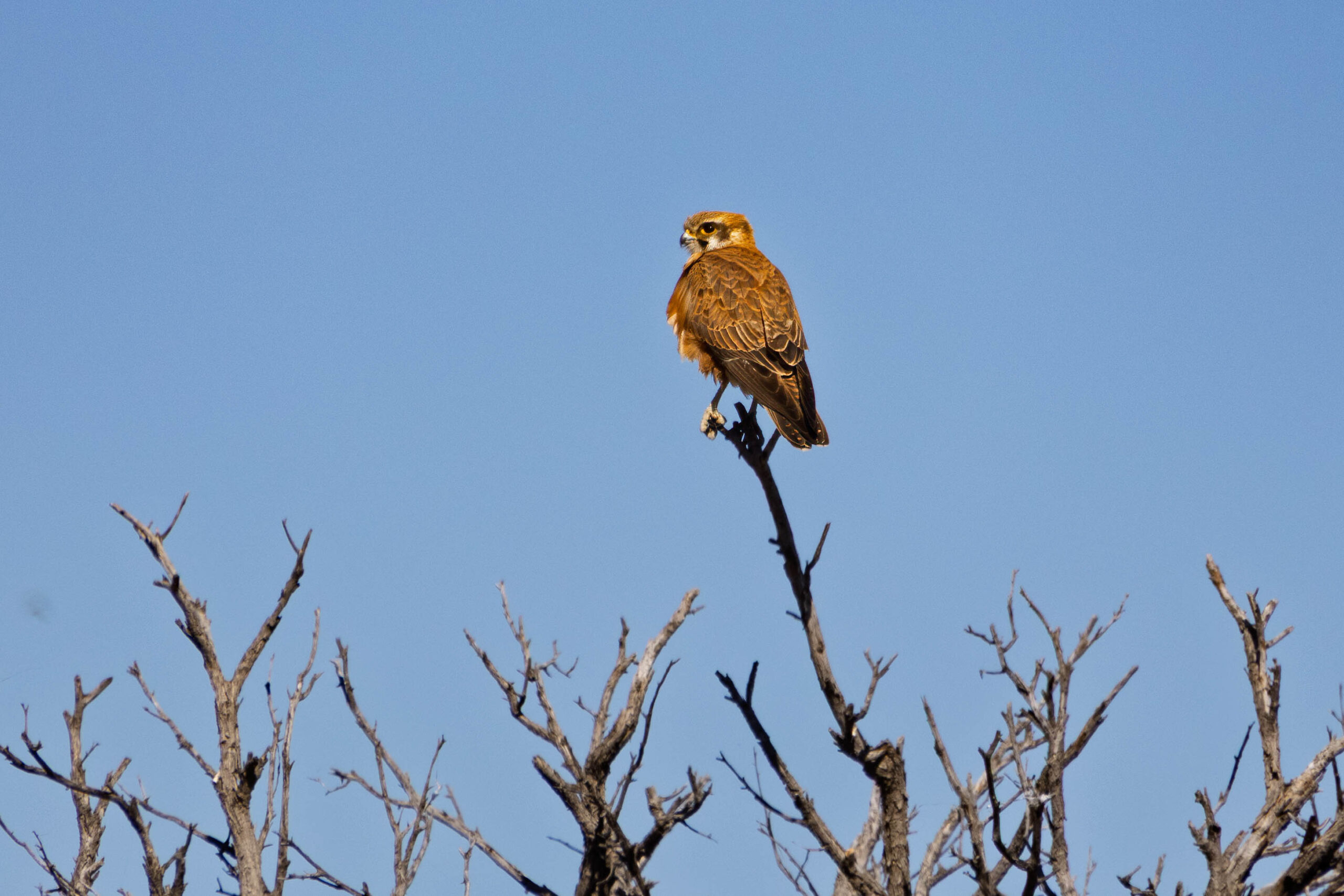
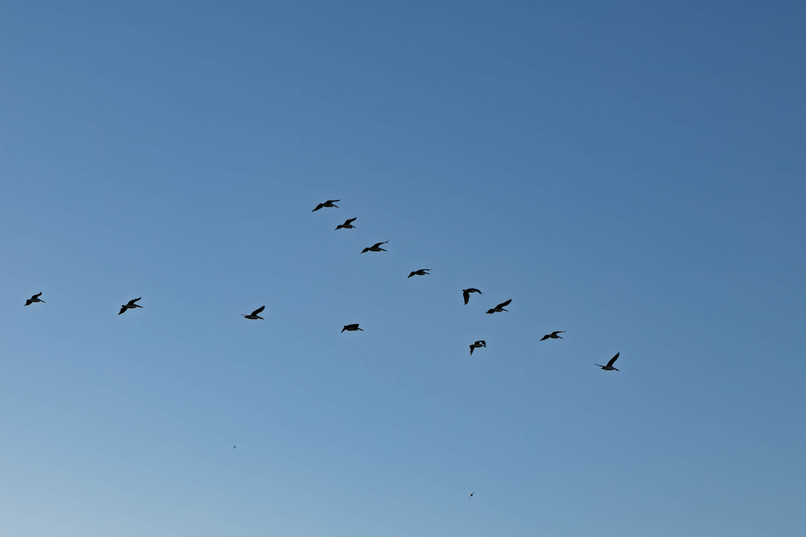
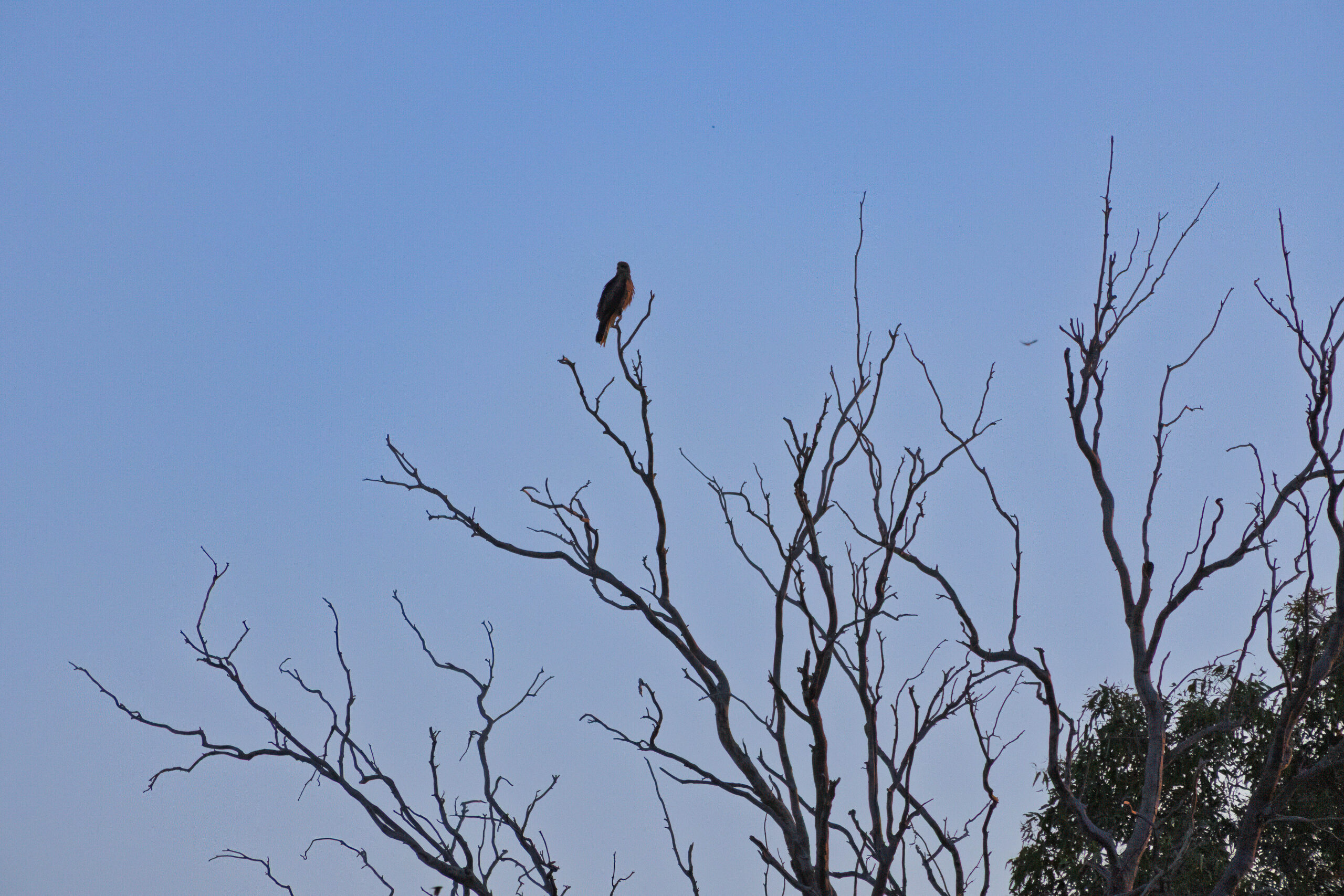
Case in point, we were only over our first dune for the morning and we all had to pull up, with one drivers reporting an engine warning light going off. This was checked out and the code was cleared and then we were properly underway. In the swale, just after our second dune for the day we witnessed a hawk vs crow battle taking place on the wing, over and beside the road.
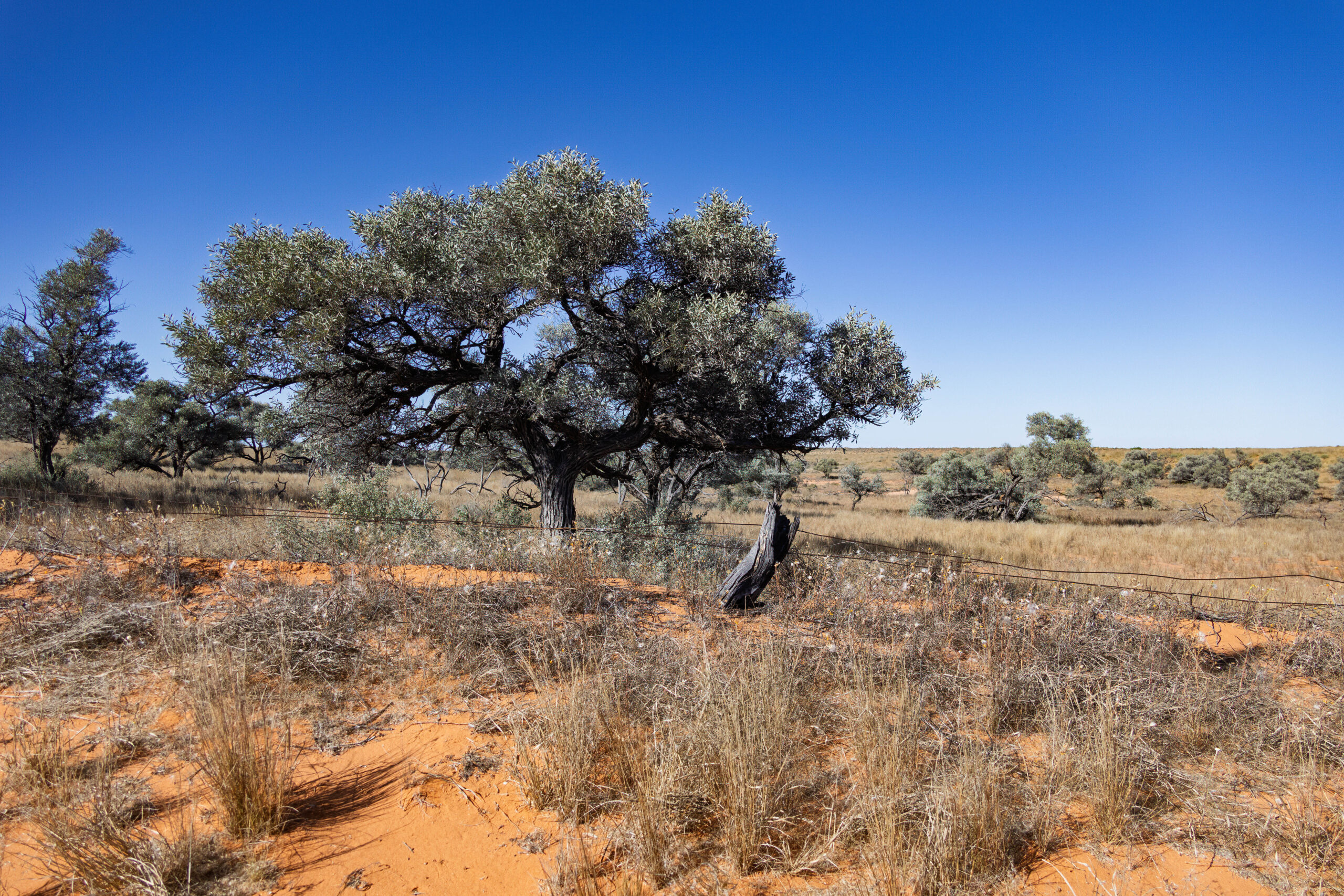
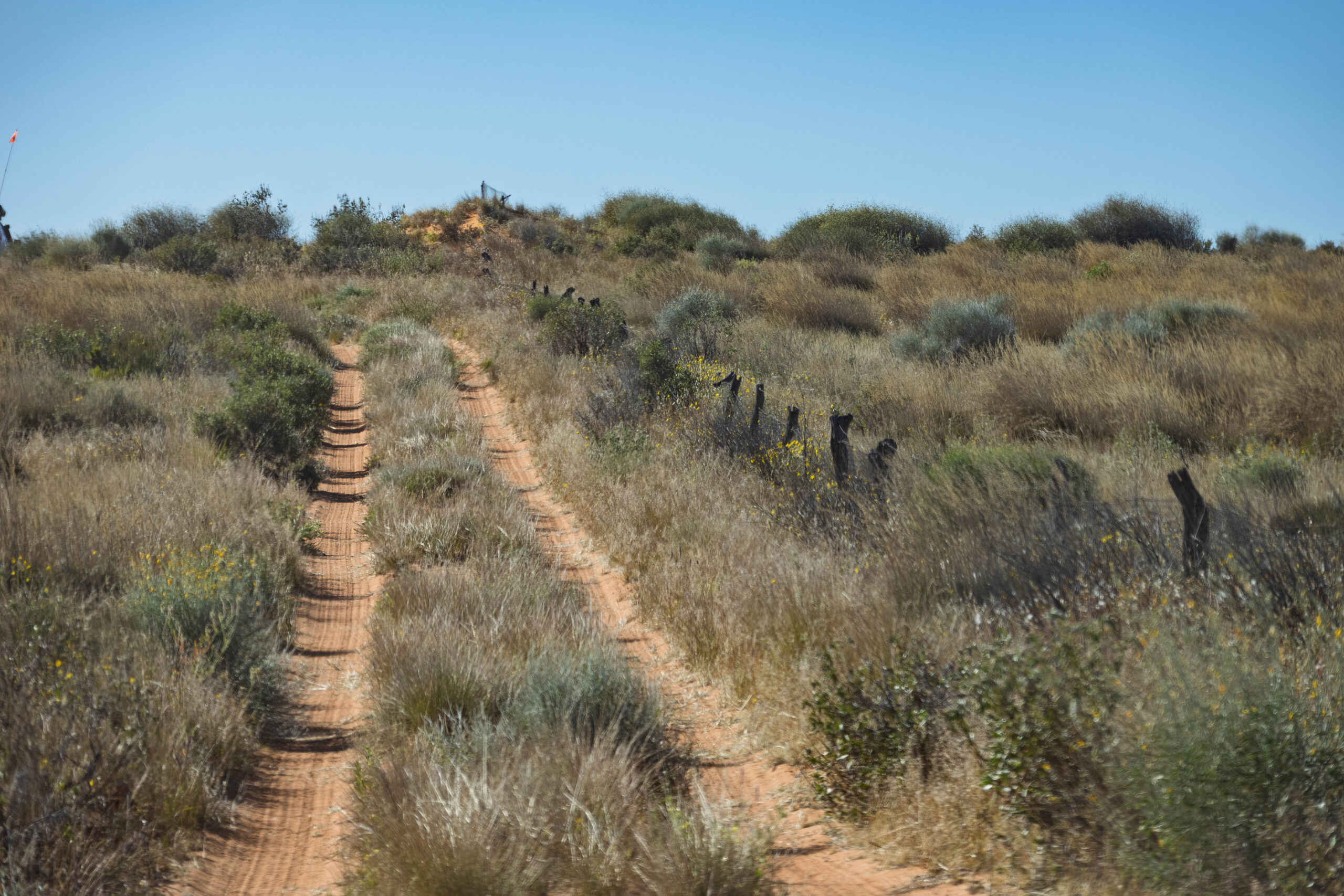
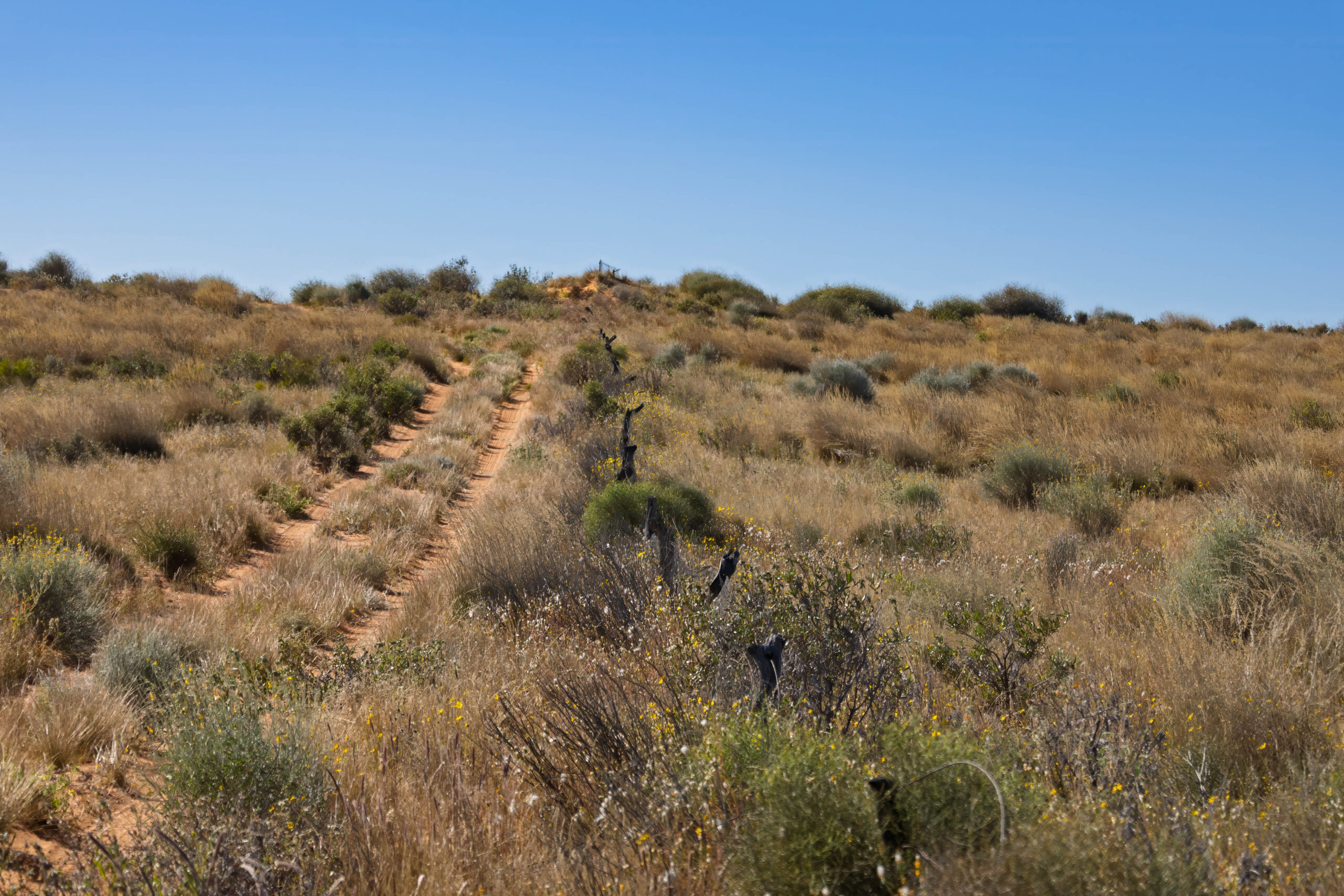
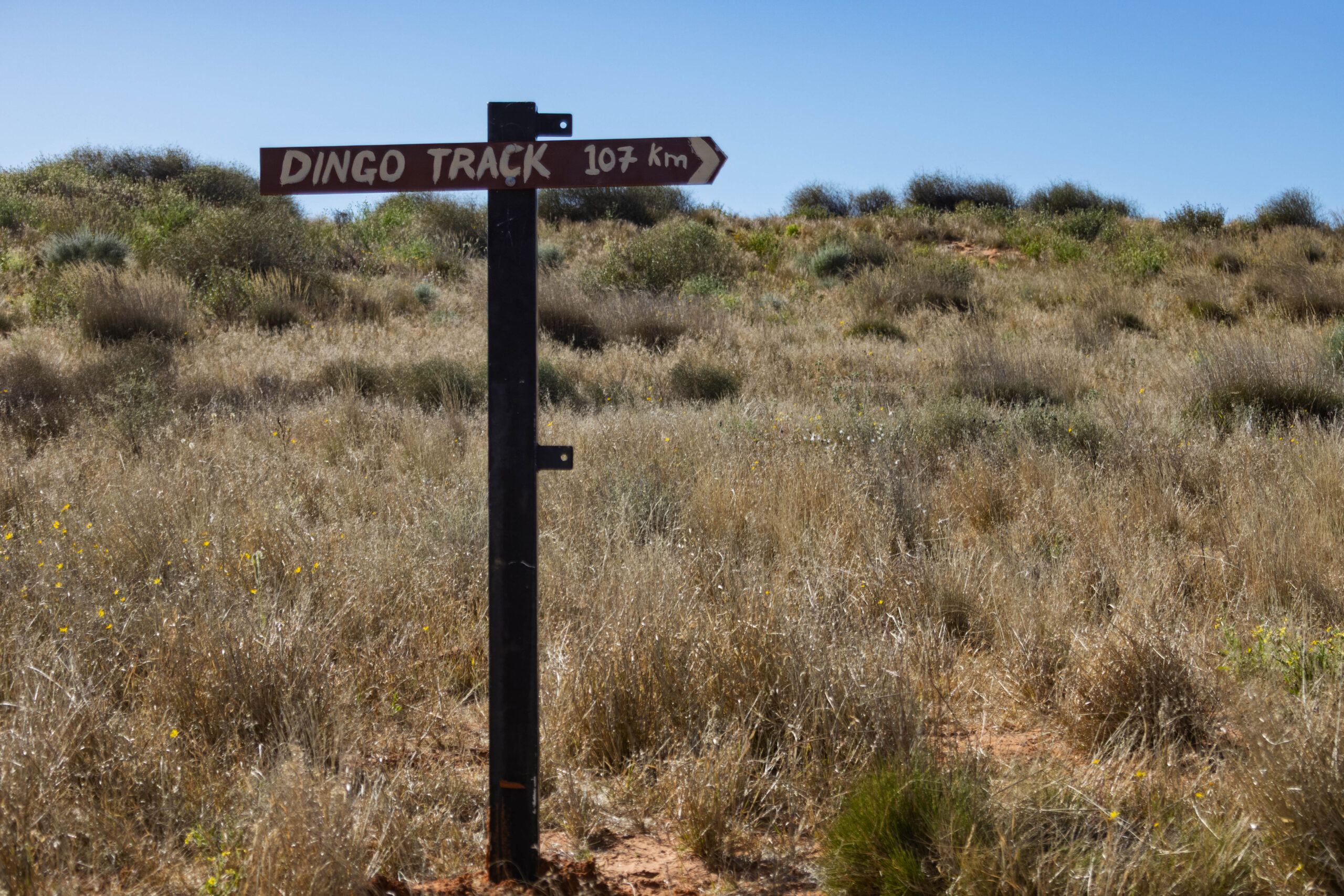
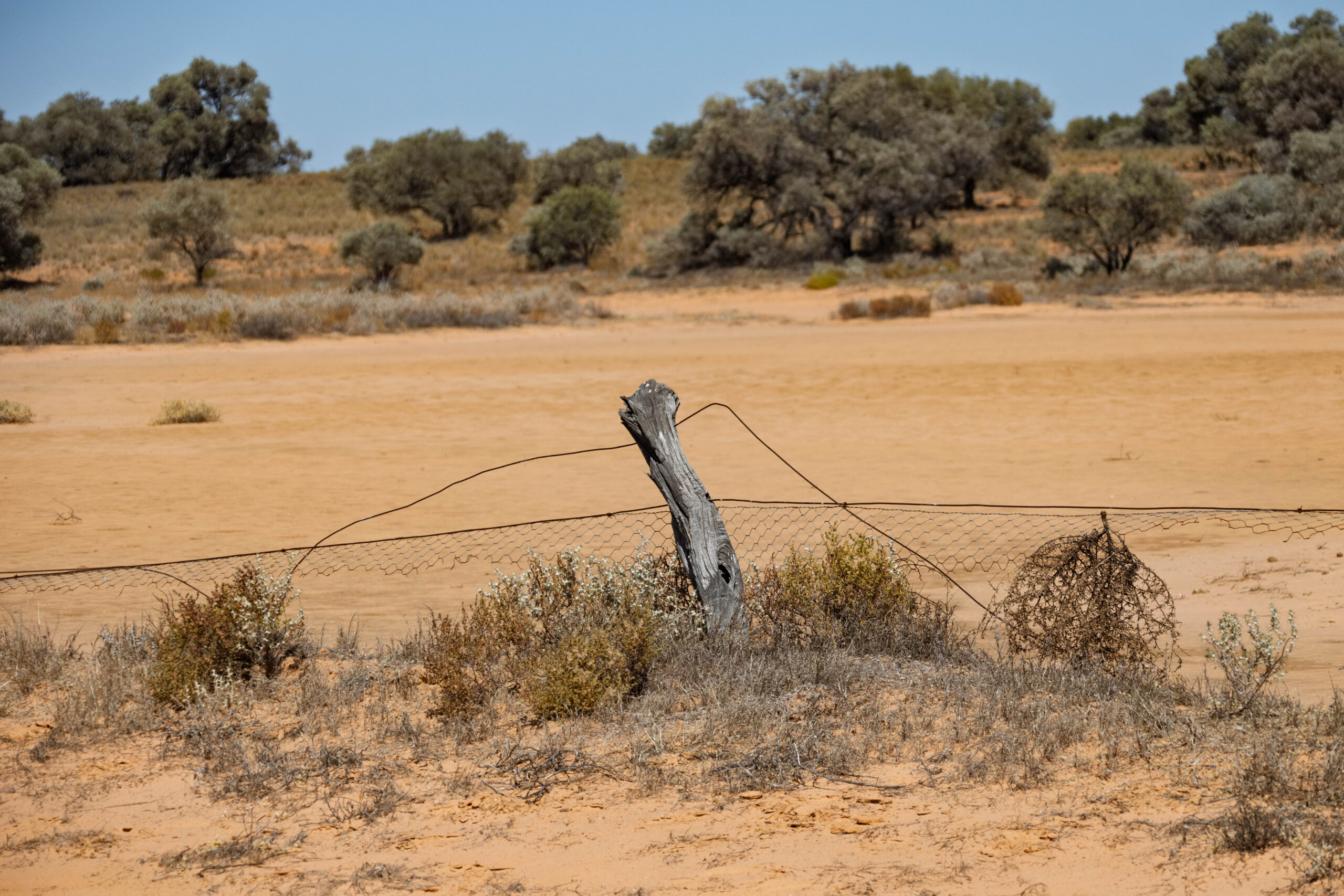
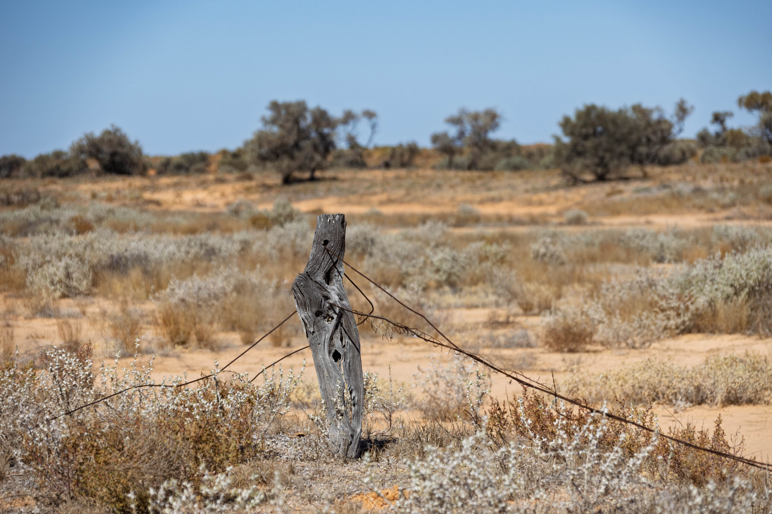
Just before 10.00am, we left the Madigan Line behind us and turned onto Dingo Track to travel alongside the Vermin Proof Fence. The fence was built in 1886 to manage the rabbit invasion and extended in 1914 to become a wild dog barrier fence. Today, the section that we were travelling along pretty much marks the boundary of the Munga – Thirri National Park. It is no longer maintained, as there are no active pastoral leases in this area.
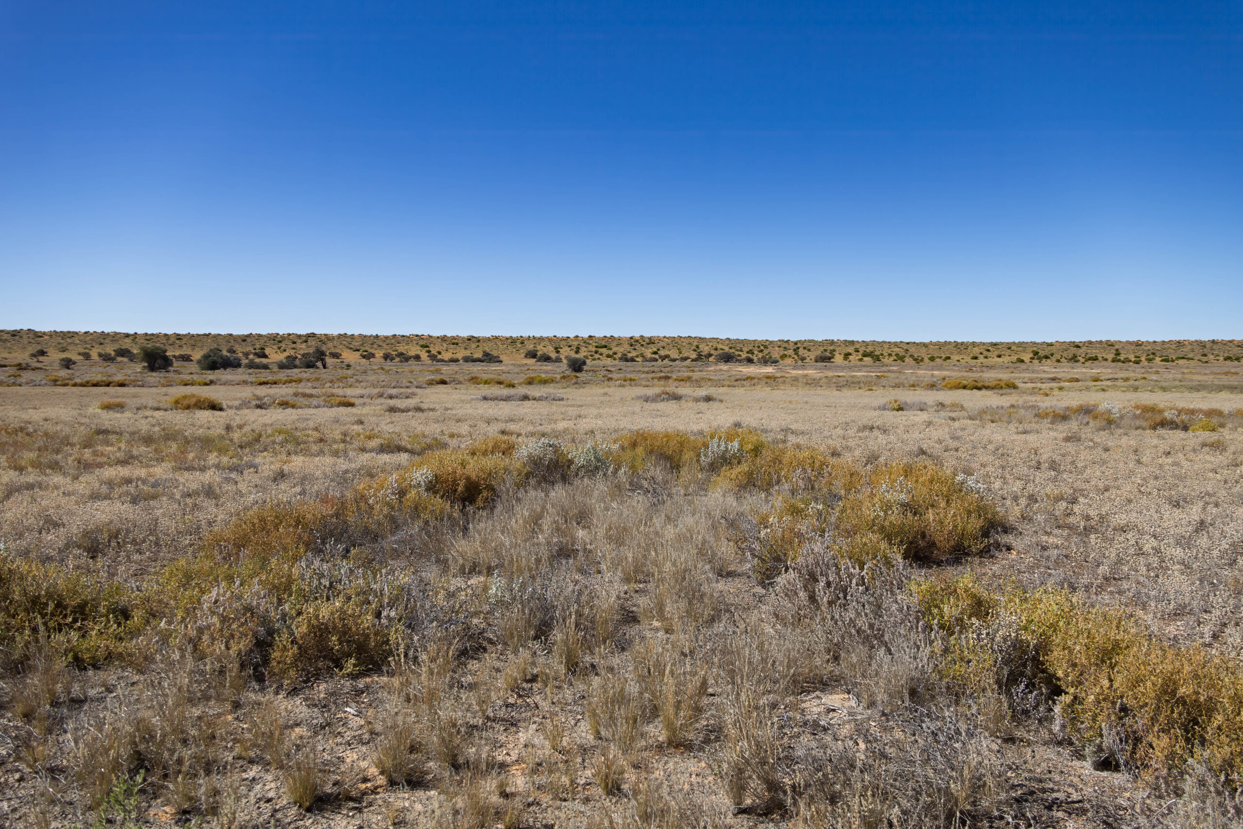
We drove straight along the vermin fence, except where we had to loop around the clay pans. The workers building the fence continued with fence posts and wire straight through the clay pans which must have been very messy work. However, when the track was blazed a few years ago, it was routed around the clay pans because they are not good for driving vehicles through after rain as they hold water long after the rain has passed.
Some of the mathematical members of the group turned their minds to calculating the amount of wood used to build the original fence, which held the distinction of being the longest fence in the world. Because it involved maths my eyes glazed over but it was something along the lines of: a fence post is 2.4 metres (8 foot) long x 250 posts/kilometre x 5,600 kilometres of rabbit proof fence, to come up with a mind boggling which I failed to make note of! Generally the wood used was whatever the local landscape had to offer. In this area the fence posts were made using the super hard gidgee wood.
We stopped at 11.40am, for an early lunch break. Bernie changed the truck’s clock to Eastern Standard Time this morning, which is what Queensland is operating on at the moment during winter. However, my iPad thinks it’s 10.40am and my watch and phone say 11.10am. No idea why the iPad is out of sync with my watch and phone but I am guessing they are out of sync with EST because, so close to the South Australian border, I’m picking up a South Australian phone tower???
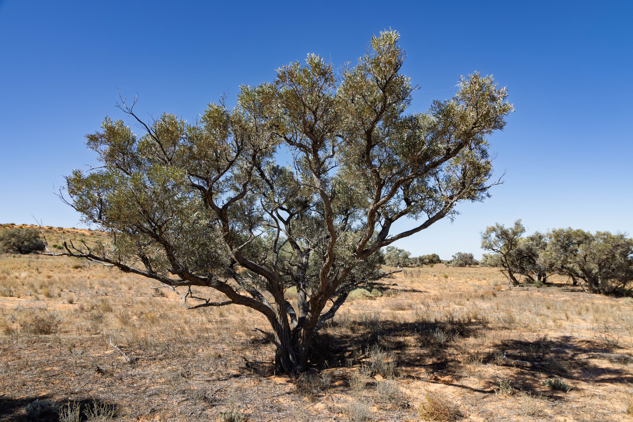
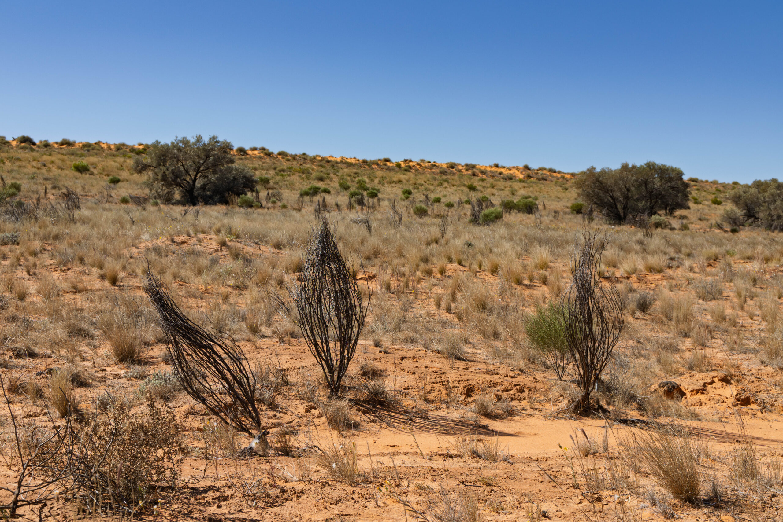
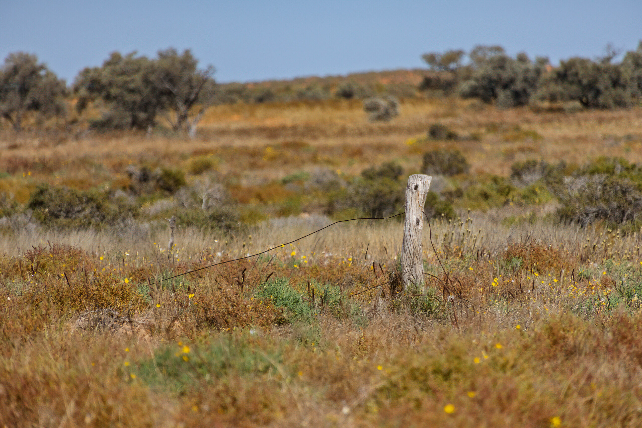
After a quick bit to eat, I wandered down onto the clay pans to take photos of the gnarly old fence. Because the posts were made from gidgee wood they are all twisted. Gidgee trees don’t grow long, straight trunks to make uniform fence posts, so each post has its own character. Obviously the fence doesn’t keep anything in or out these days but it is very photogenic.
Before we headed off again after lunch, tonight’s stop was officially called as another bush camp. We’re not going to make it to Birdsville tonight! Bernie sent an email to the Birdsville Tourist Park to try to move the booking we made for a cabin Monday/Tuesday to Tuesday/Wednesday. Fingers crossed. Ah, the wonders of Starlink and the internet, being able to communicate with Birdsville while we are still hundreds of kilometres away in the Simpson Desert.
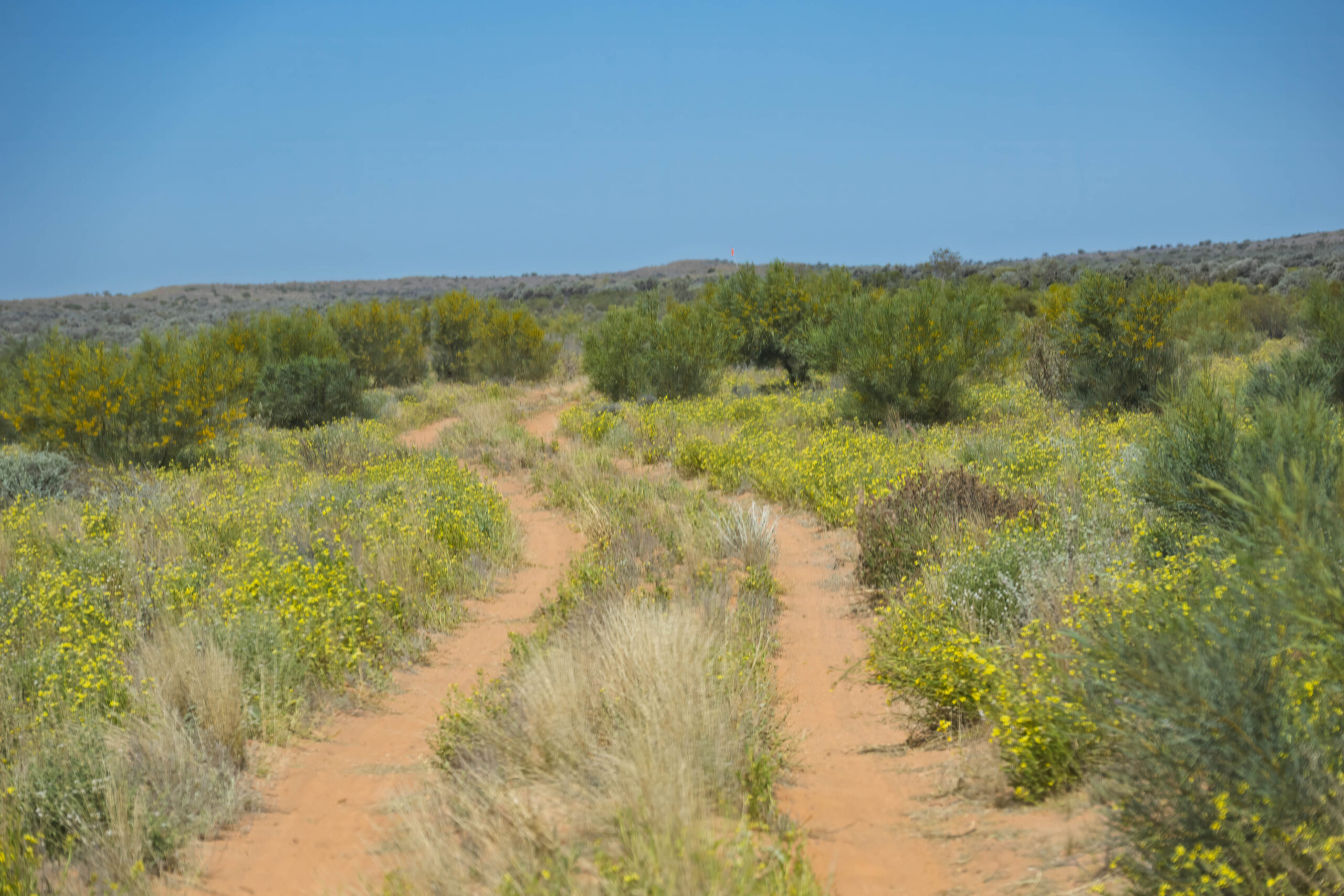
Some more drone footage was taken as we motored along this much easier track. With the heading mainly south, we were travelling parallel to the dunes rather than having to cross the dunes. Our average speed was much faster than it was for the preceding days when we were driving up and over the dunes … repeatedly.
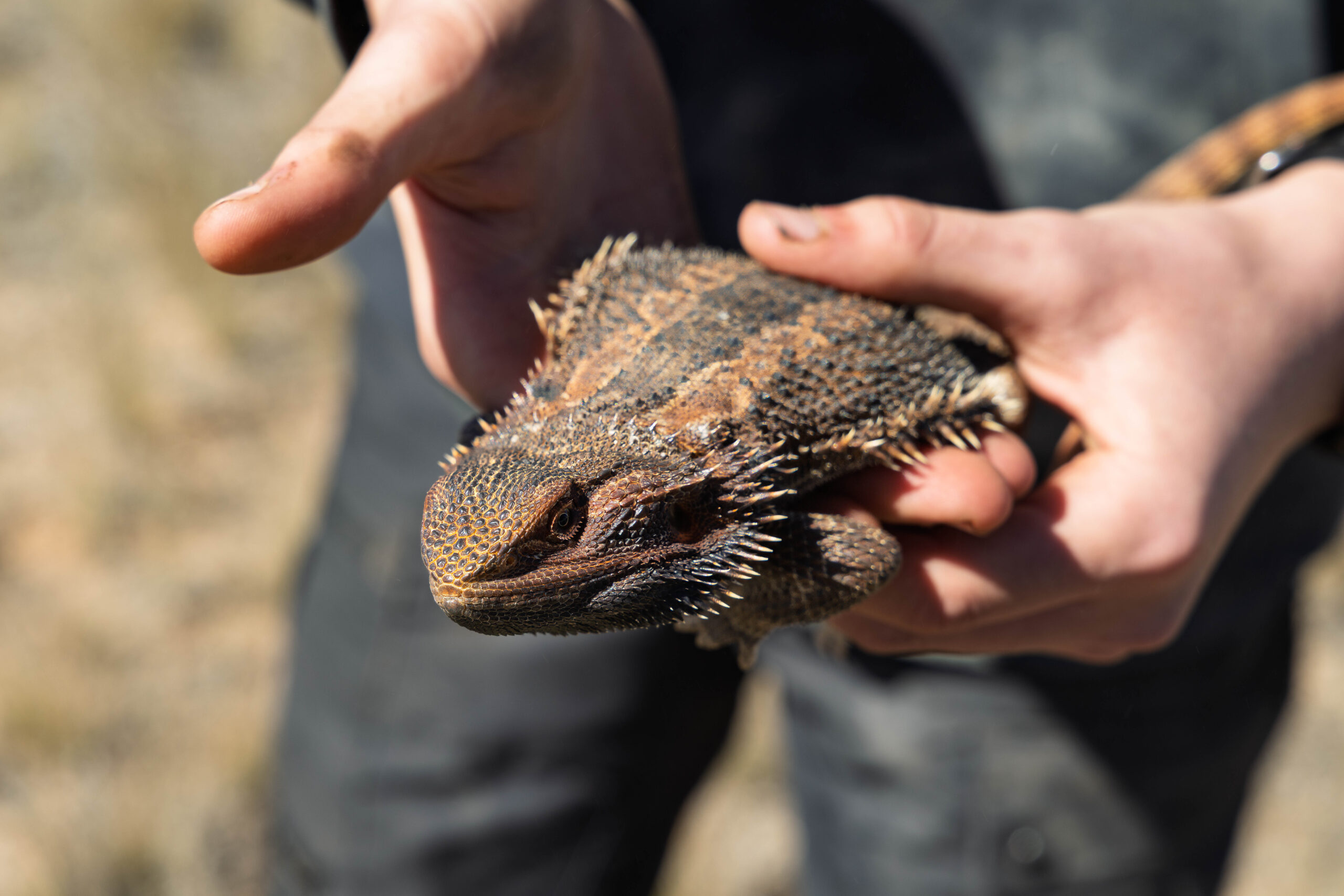
We stopped to check out a lizard on the track. The wee beastie promptly ran up the wheel of a vehicle to hide in the wheel arch. From the wheel arch it scrambled in behind the bull bar. After some effort, it was removed without injury and released into the scrub beside the road. And that is just another example of why it is hard to predict how long it will take to travel a section of road. You always have to expect the unexpected. I mean, who could have predicted a wildlife encounter like this?
The Tourist Park replied to Bernie’s email. It looks like we’re going to be in a cabin Tuesday night and then in the swag again Wednesday/Thursday … unless they have a cancellation and come back to us with an offer of accommodation on Wednesday night? A tour group is arriving on Wednesday and there’s no room at the inn for us. At least on Thursday morning we will have access to a shower, even if it is in the amenity block.
Finally, I noticed that the truck, my Apple Watch and iPhone all agreed that it was Eastern Standard Time with the iPad continuing to do its own thing. Oh no, ANOTHER unscheduled stop. A phone was lost when catching and releasing the lizard. We had not travelled far when the absence of the phone was noticed, so a couple of cars went back to search for it. Tail end Charlie gave them the tip to look for a patch of wet sand that would mark where we had pulled up during the lizard episode.
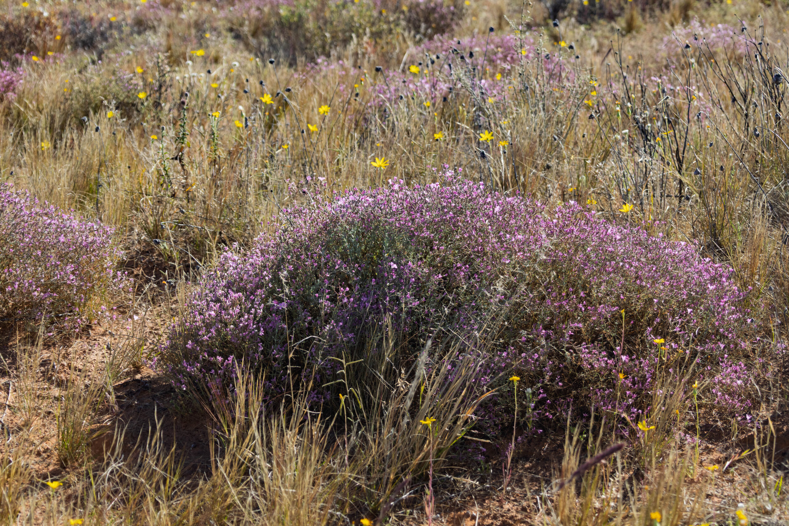
While the rest of us waited a little further along the track we were fascinated by dozens of dragonflies zipping around. There didn’t seem to be anything to attract them, not many wildflowers and no water that we could see and yet this section of road appeared to be a dragonfly’s paradise. Soon word came over the radio that the phone had been retrieved and the two cars were heading back towards our convoy.
About 2.15pm it was time to cross a few more dunes …
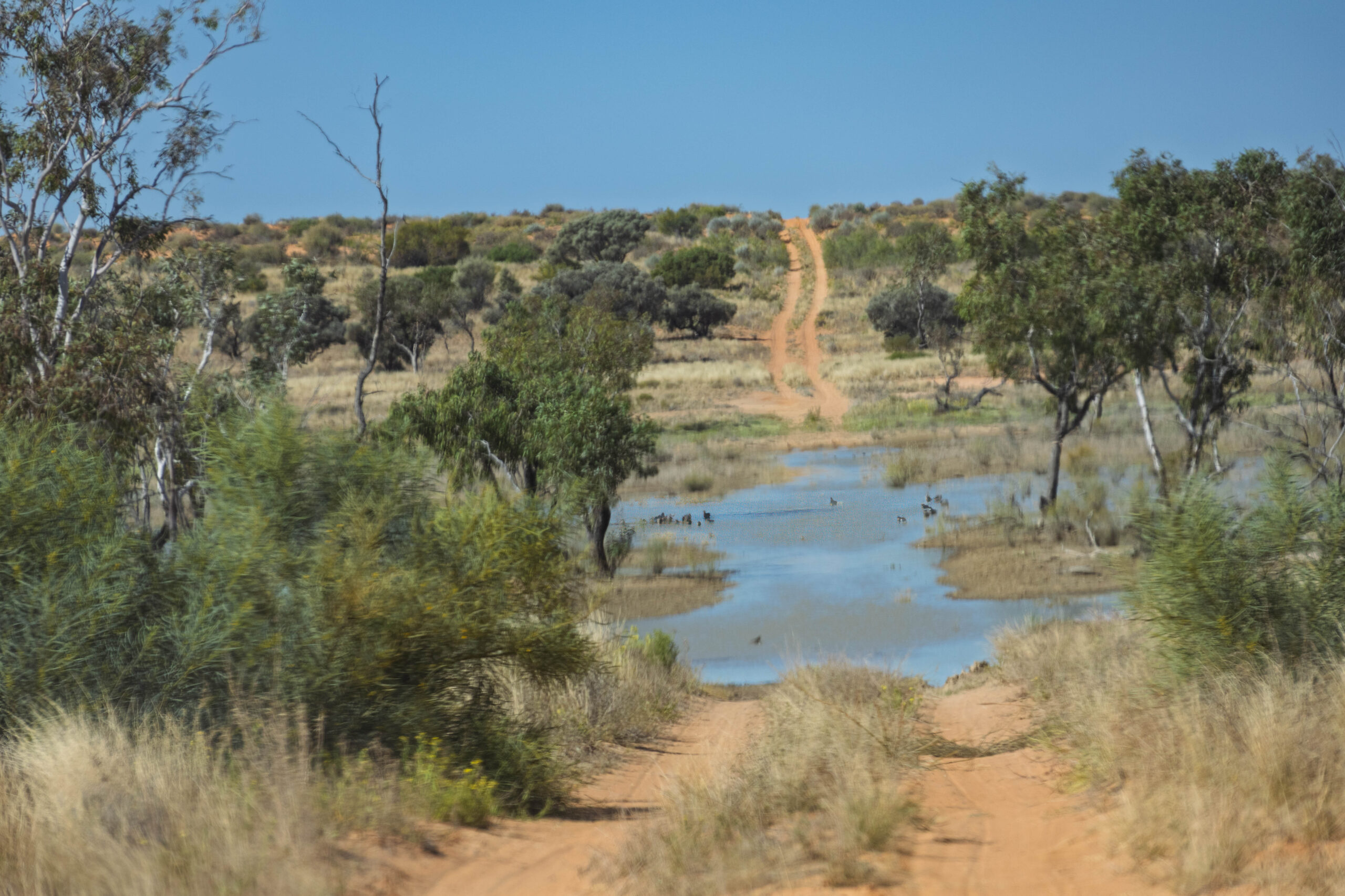
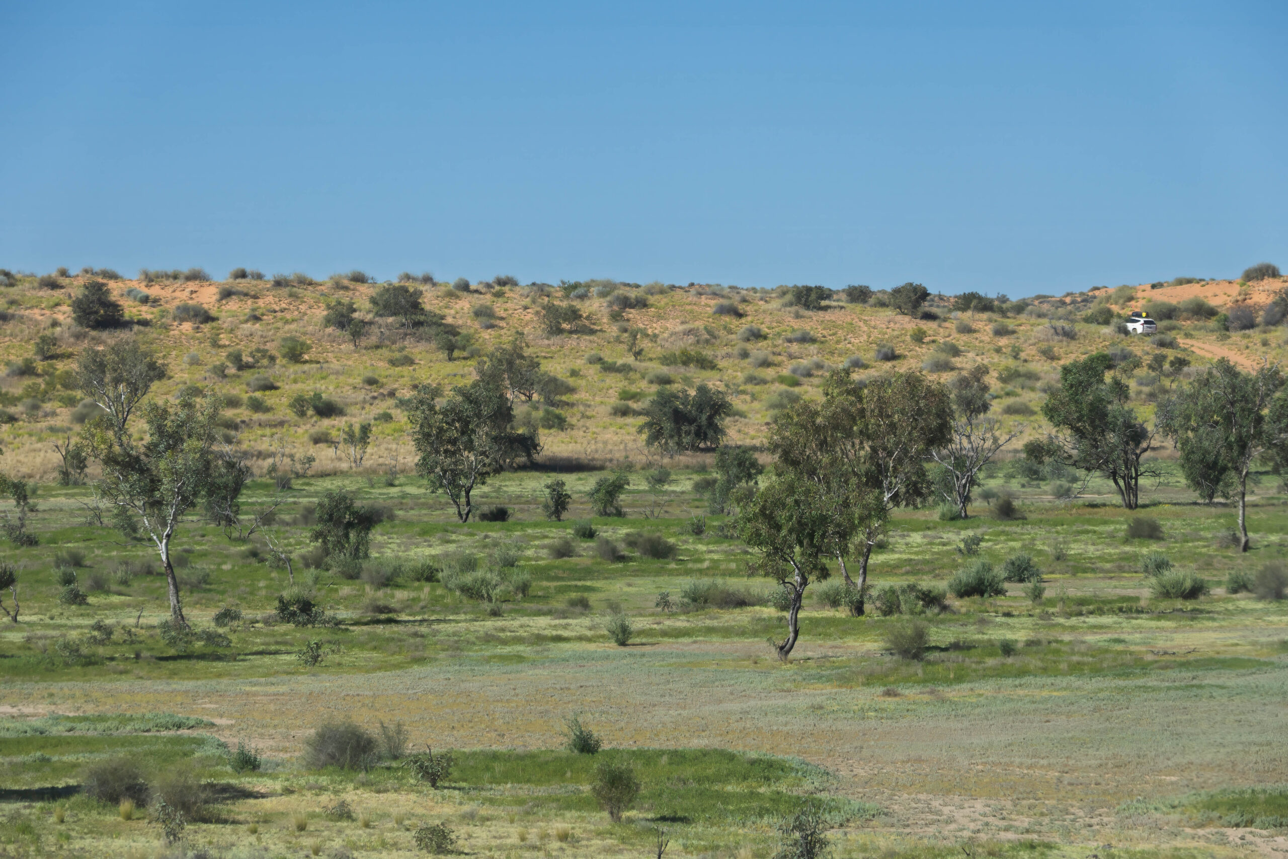
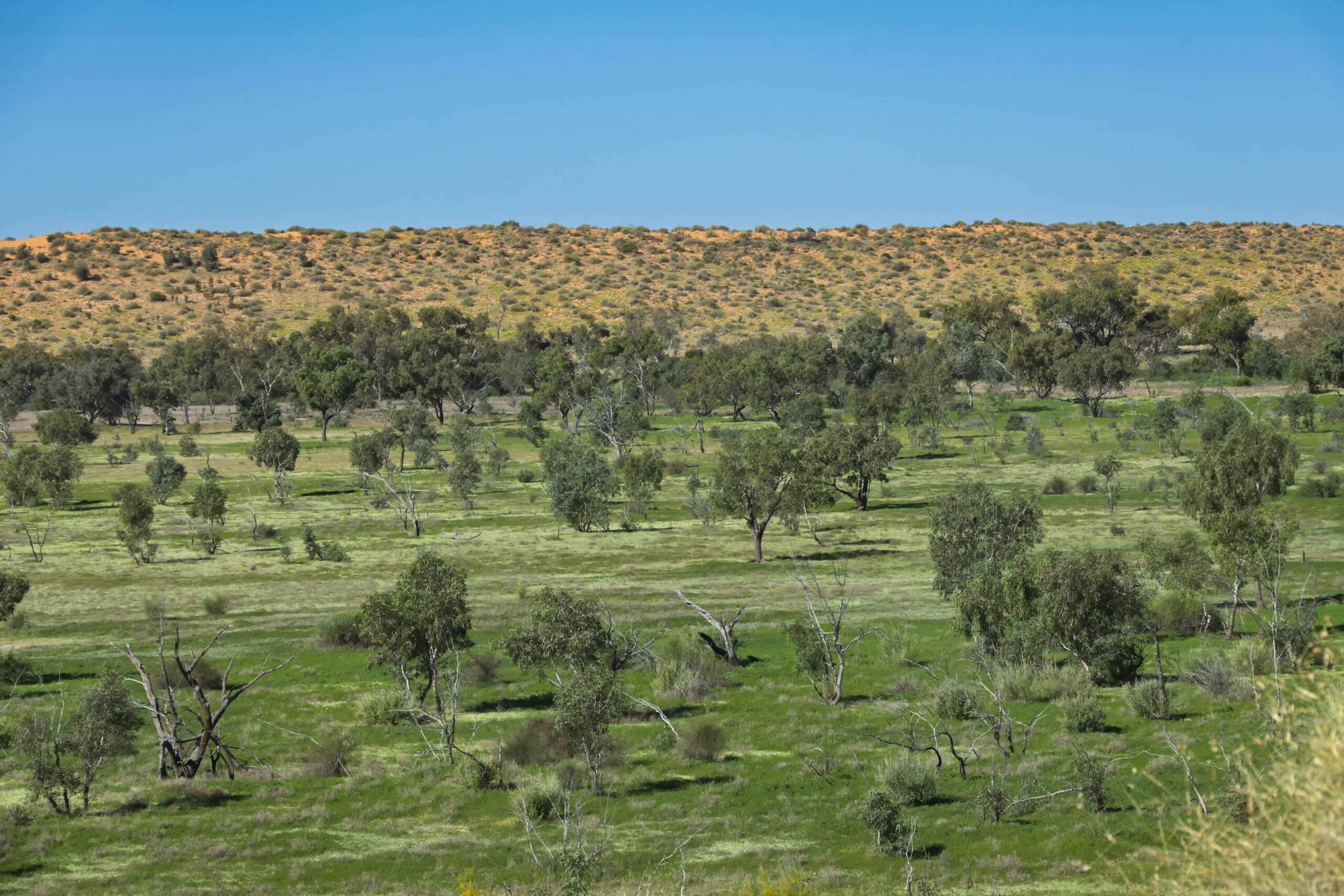
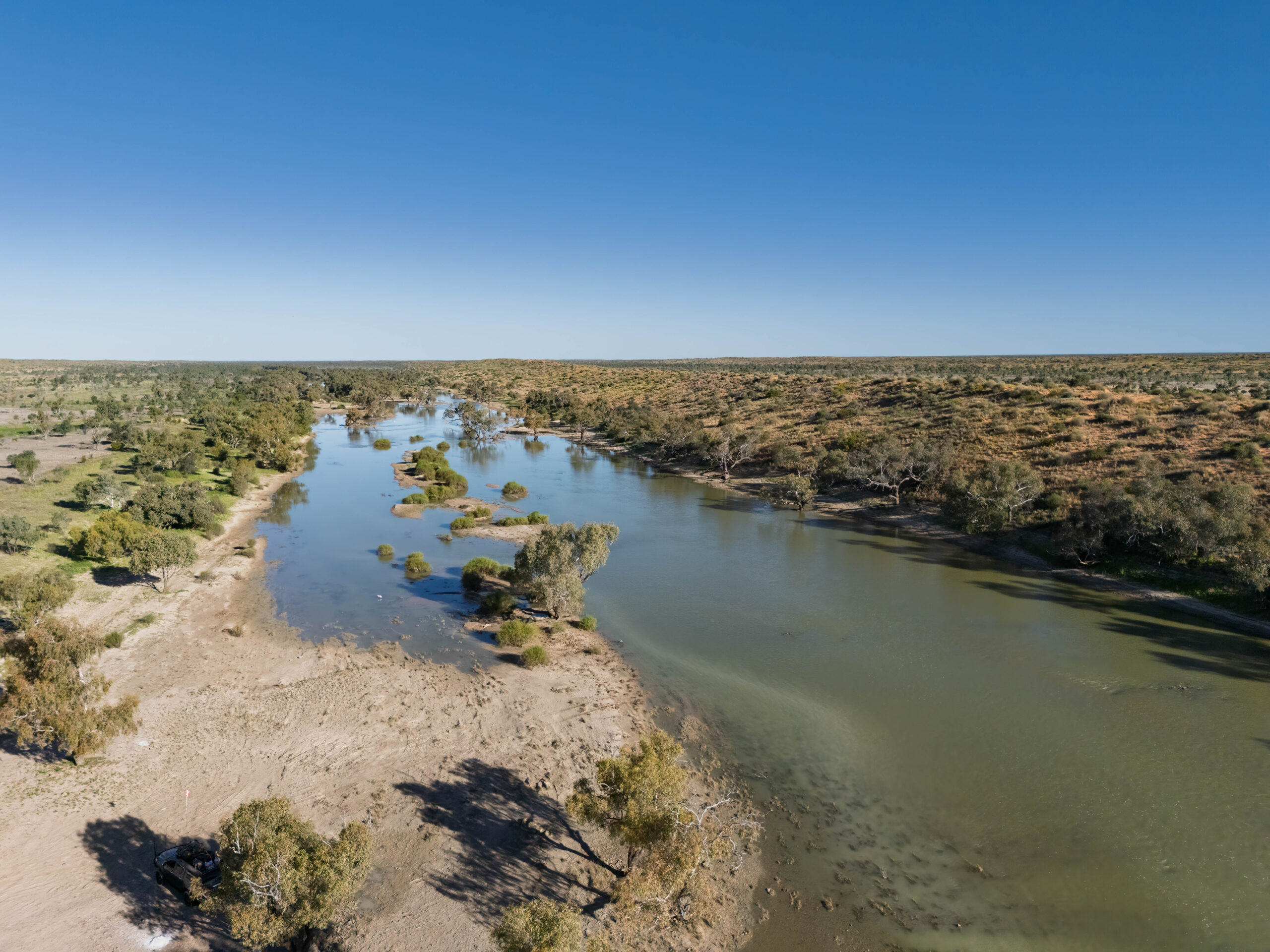
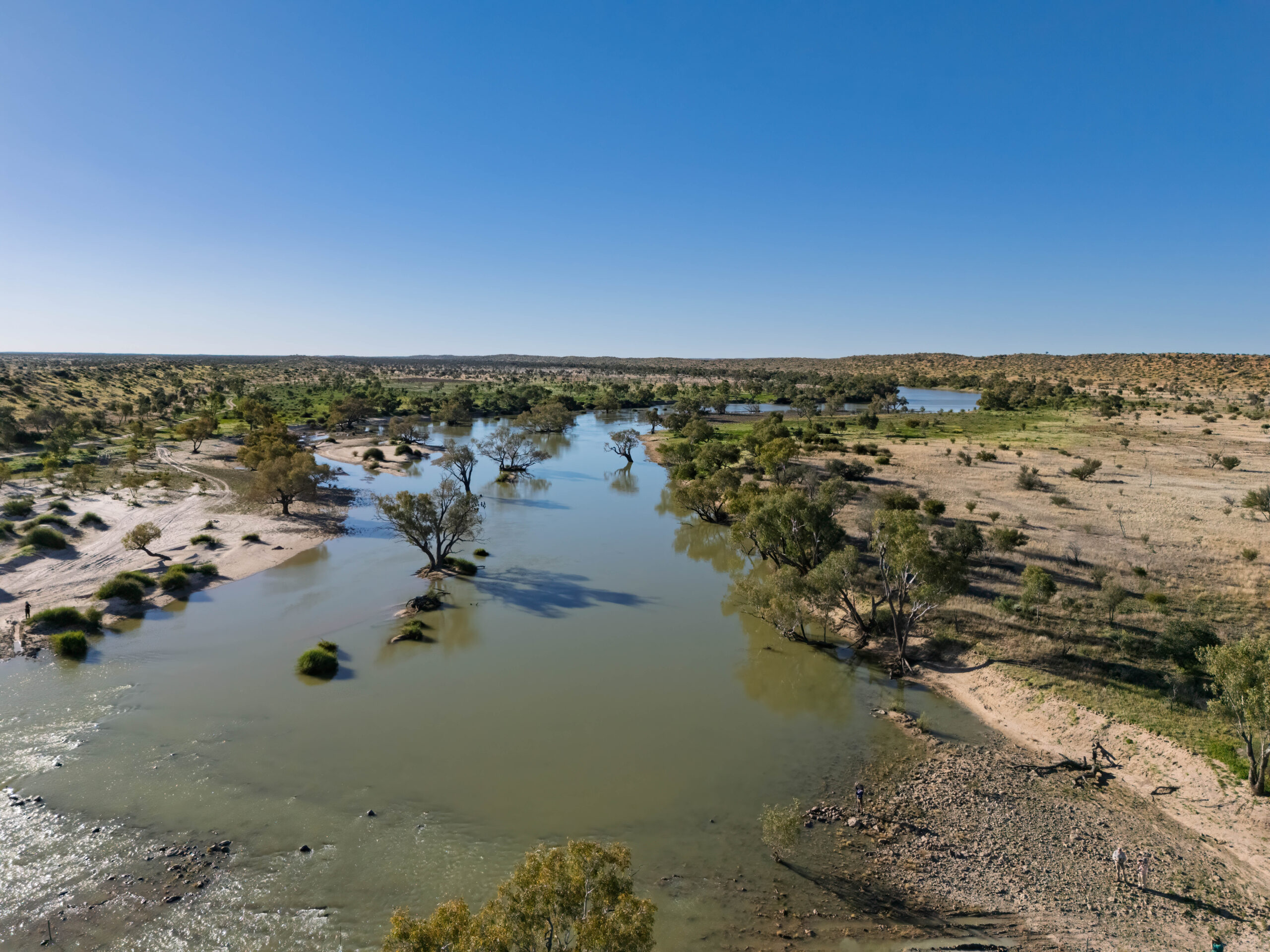
When we reached the intersection with Beattie Track, we pulled up to collect firewood, before we headed across to the Eyre Creek Crossing. The vegetation changed again with eucalypts now featuring again in the landscape. John told us that these swales fill with water when Eyre Creek is in flood. With water being more available close to the waterway the growth of eucalypts is supported.
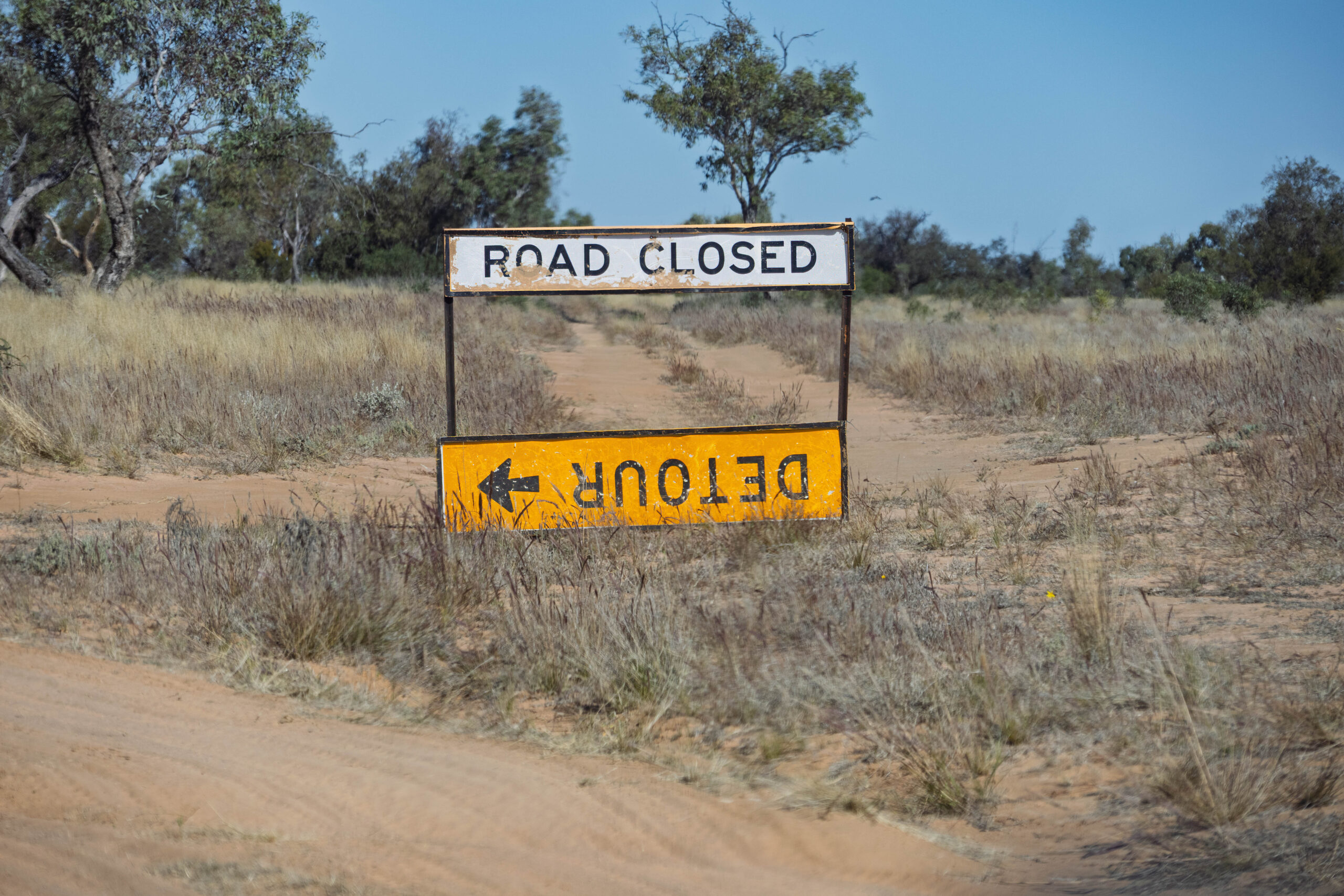
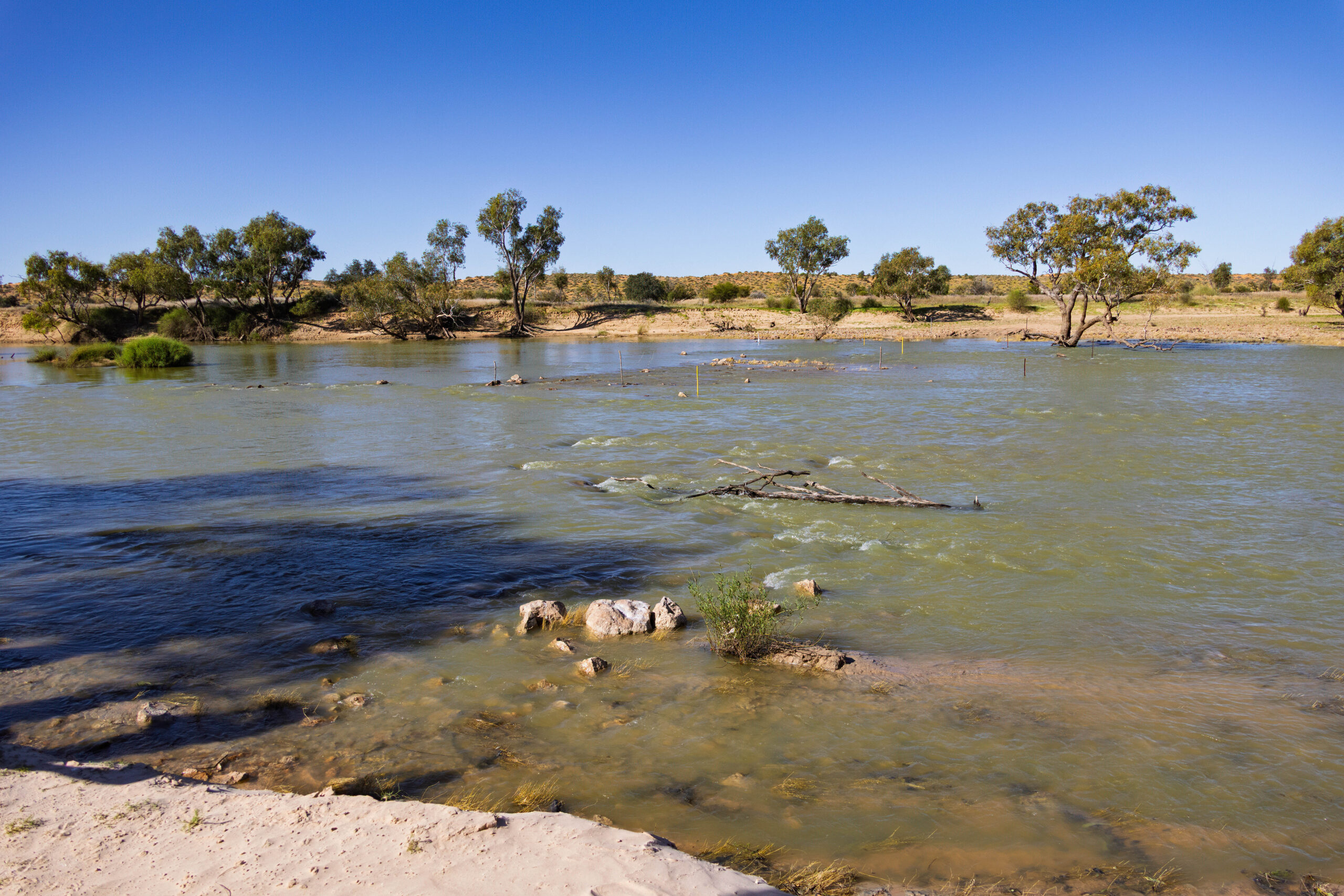
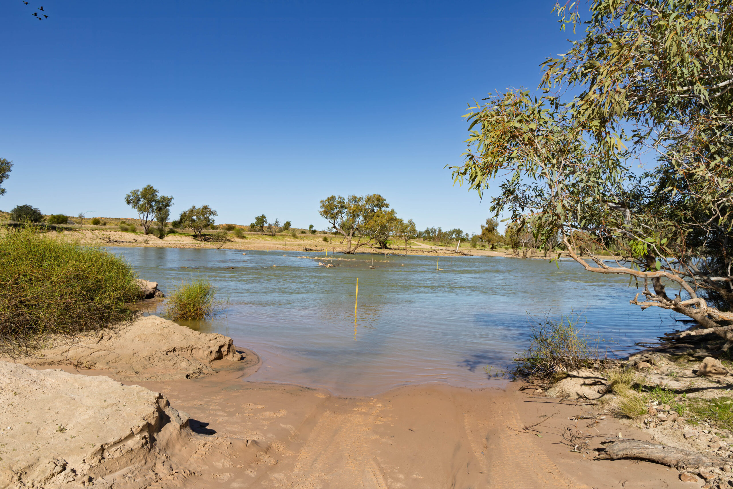
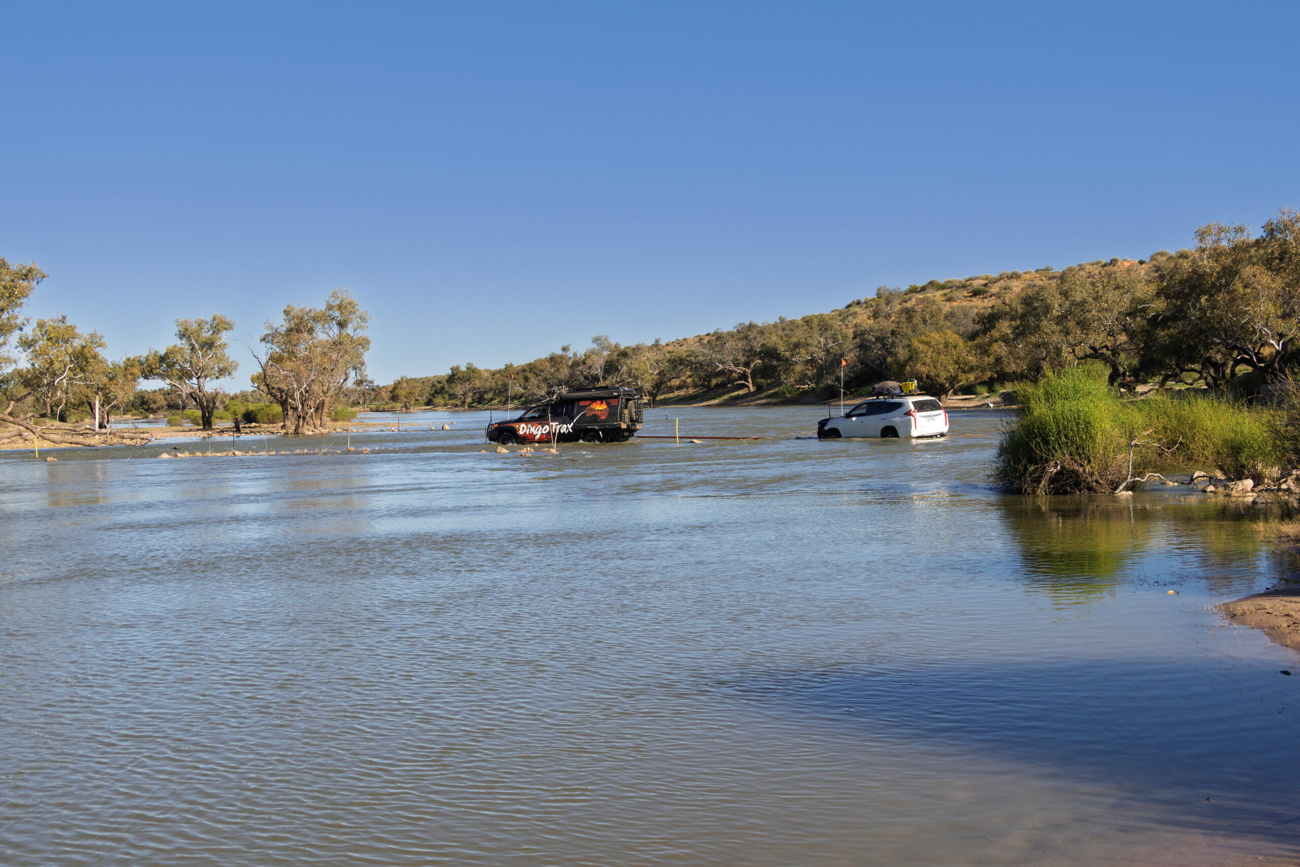
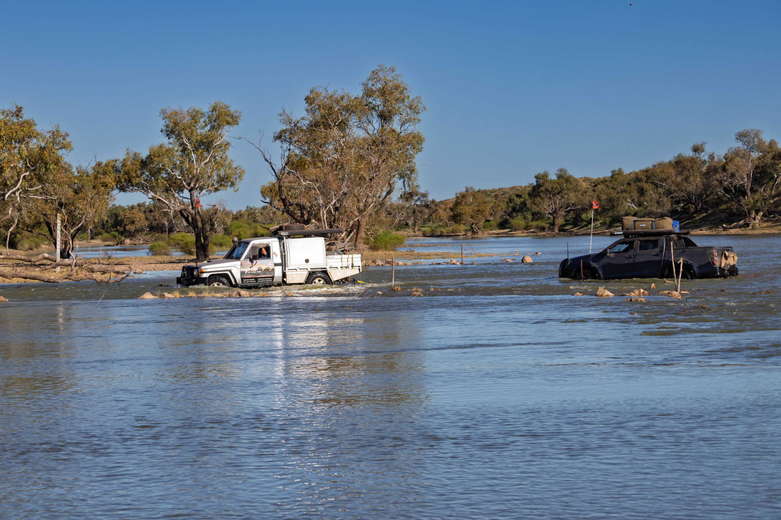
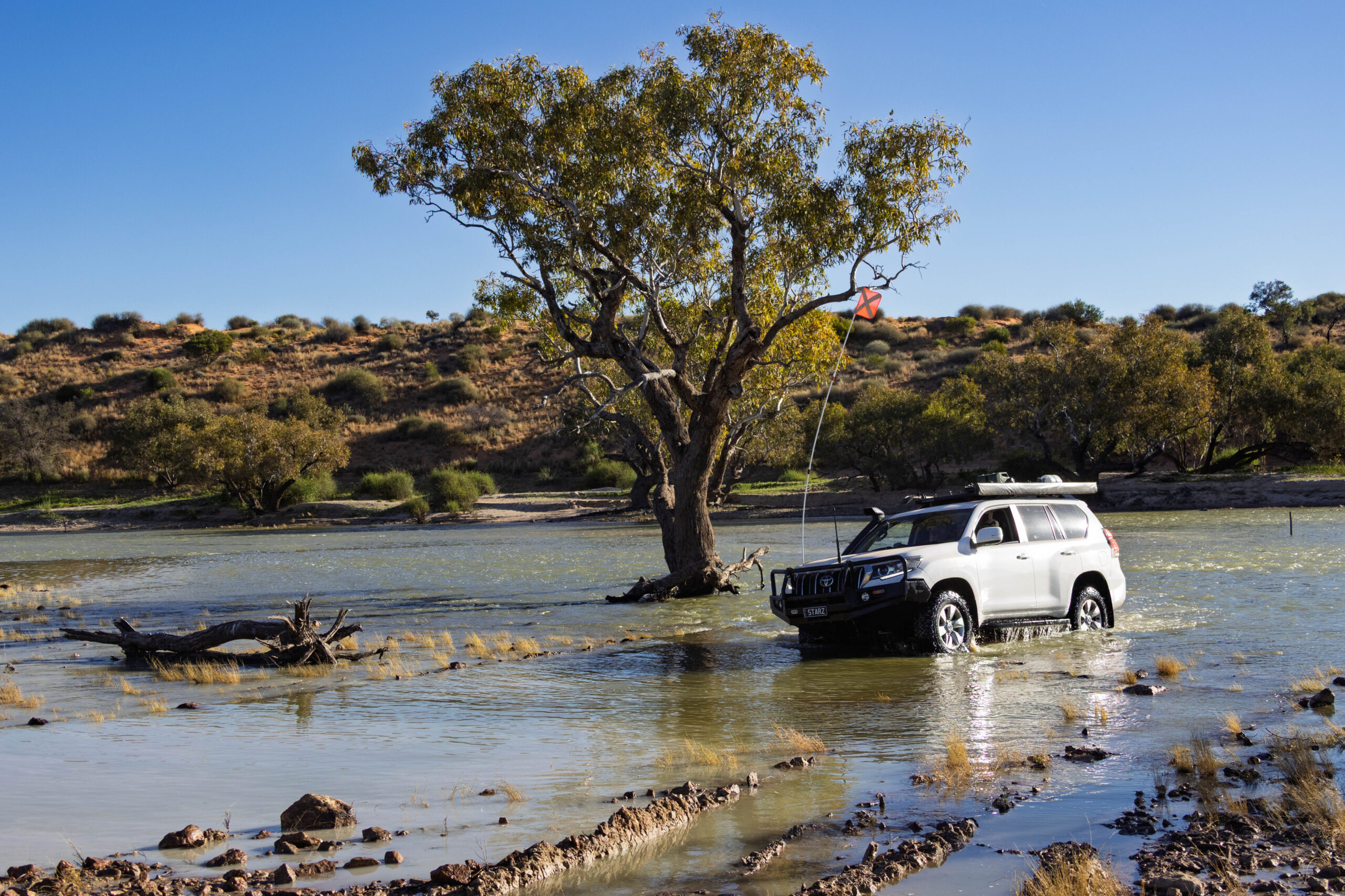
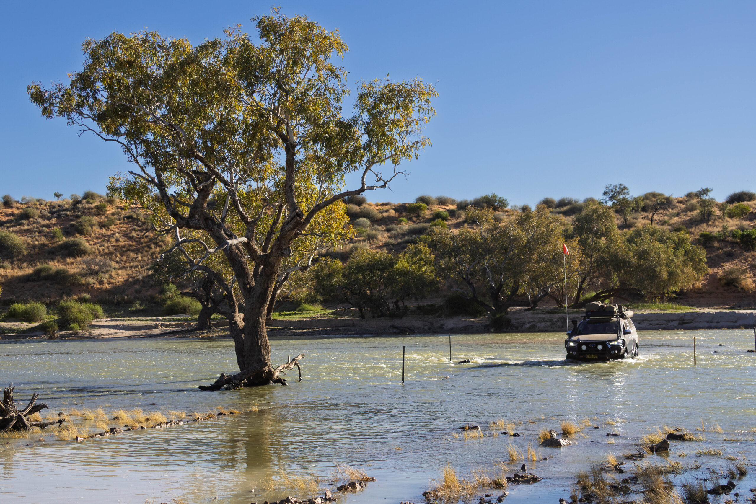
We had to make a BIG deviation around water over the track and then navigate more dunes, before we arrived at Eyre Creek for our water crossing. It took a while to get all 13 vehicles over the creek. First the crossing had to be explored by experienced four-wheel drivers. The marked crossing (a few star pickets) was quite deep at the start, so our intrepid leader walked the creek to see if there was a shallower/easier option than the one marked.
We had three vehicles without snorkels to get across, so care needed to be taken with our preparations to make sure everyone crossed successfully. With no better route identified, the vehicles without snorkels were bagged at the front and it was decided to tow them across the creek to be certain they would get to the other side safely.
Bernie was the first driver to take a single vehicle across, not towing or being towed. He was followed by the remaining six vehicles. Bernie attempted to use the drone again to record our epic water crossing. He flew it over the creek and set it to hover with the idea being to record our crossing. Hmm, maybe not in the right place as there doesn’t seem to be any footage of the truck making its way through the creek? Well, maybe that, or I touched a button that made it stop recording when he gave the controller to me to hold?? Besides which the sun was at a terrible angle to take good footage anyway. The experience will live forever in our memories though.
Safely on the other side, Bernie resumed control of the drone and did manage to capture some footage of drivers who came across after us. And then it went a bit pear-shaped again, as it did when we were filming our crossing of the Pentecost River. The battery was getting low and the drone wanted to return to home … which it thinks is where it has been launched from. And that would be on the OTHER side of the creek.
Bernie forced it to return to him instead and had it hovering so that he could catch it. Rather than landing it on the ground he always lowers it to a point where he can grab it by hand. He managed this successfully but then it would not turn off because it really wanted to return to home over the creek. Bernie was hanging onto the angry drone with its propellers whirring away and he’s shoving the controller at me asking me to do something with it … even though I have no knowledge of its workings.
He was too stressed trying to keep hold of the drone, that really, really wanted to get away from him, to communicate to me what he wanted me to do. Eventually we did somehow get it turned off before it ripped itself from his grasp. Honestly, I think it’s more trouble than it’s worth! I think maybe we should stick to static landscape photographs and not try to do these action videos with the drone.
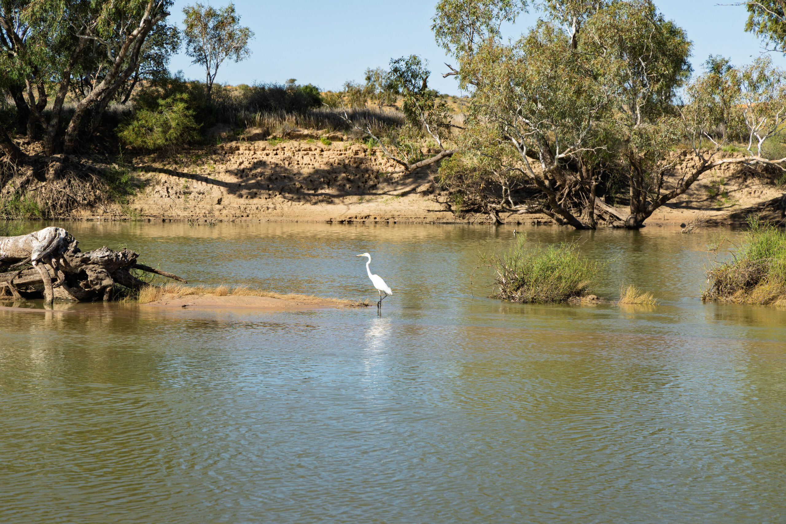
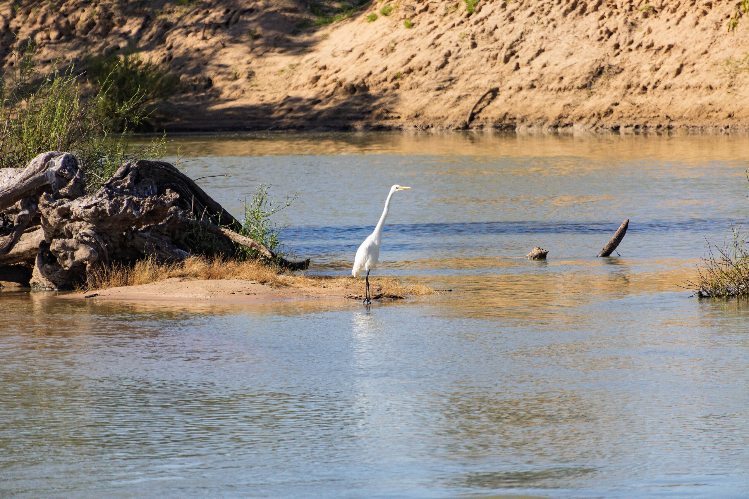
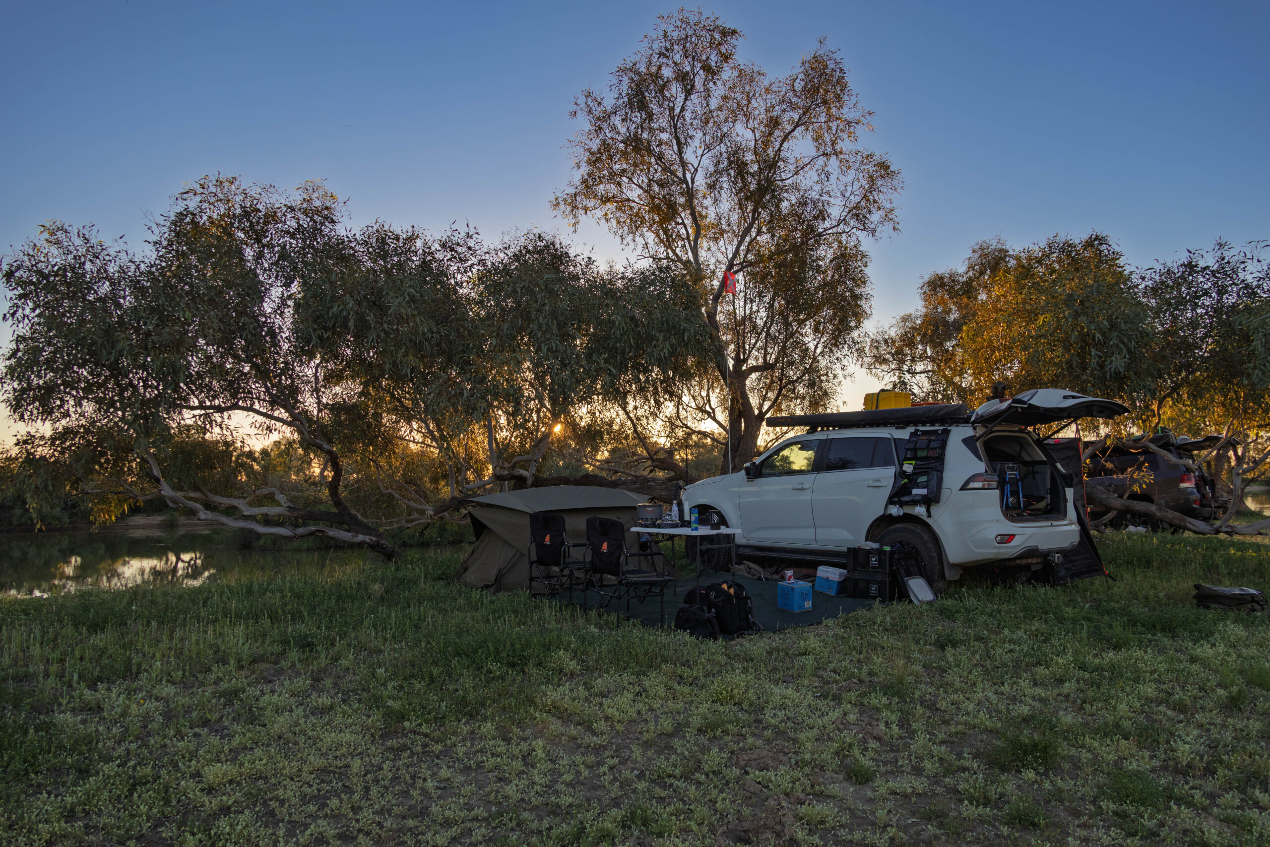
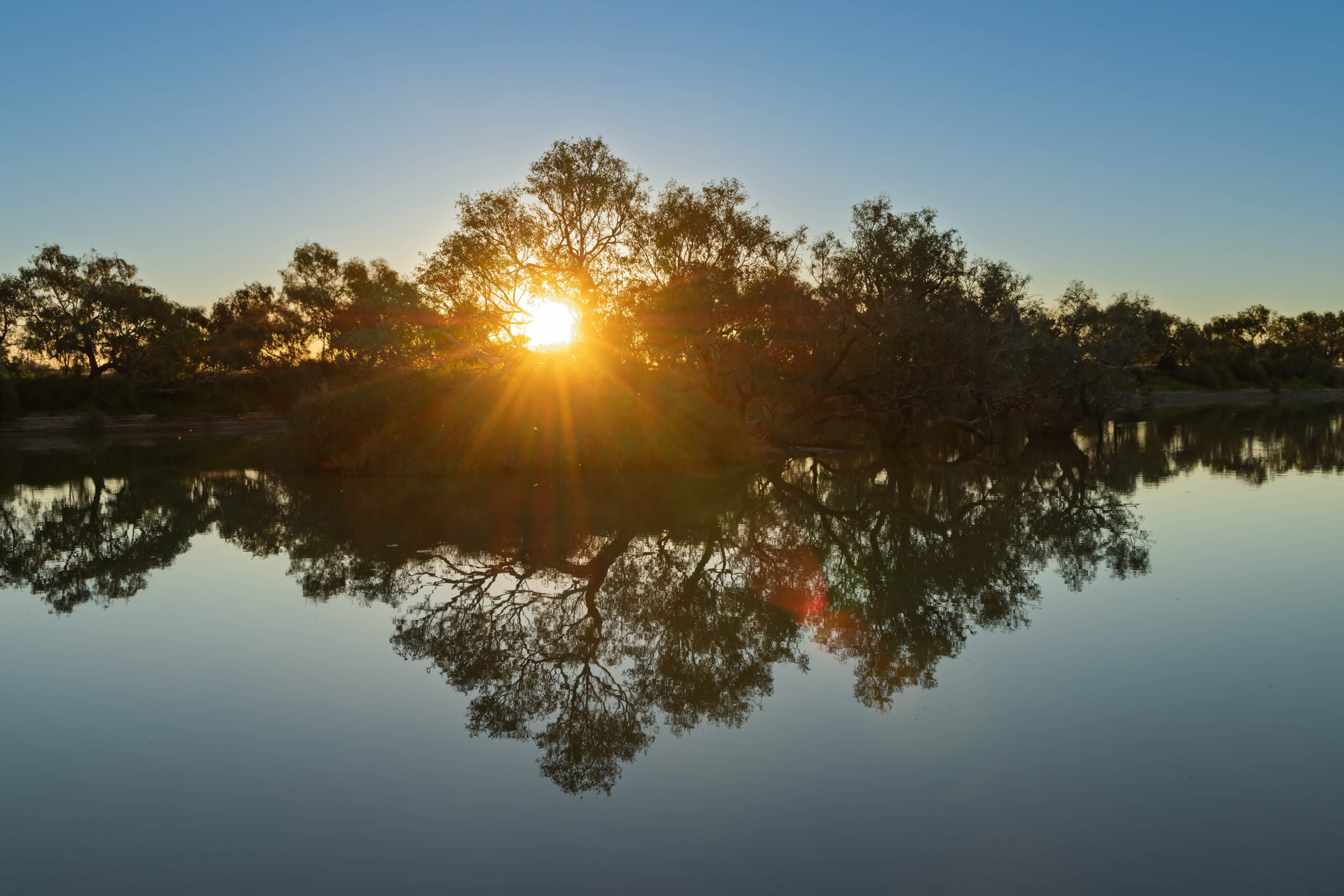
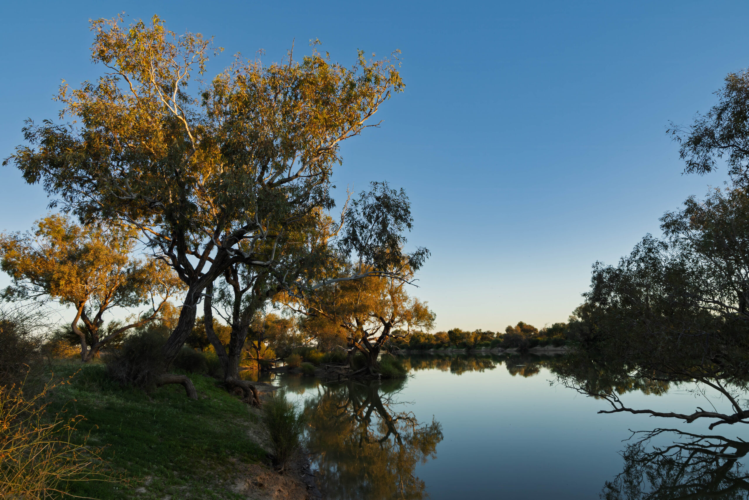
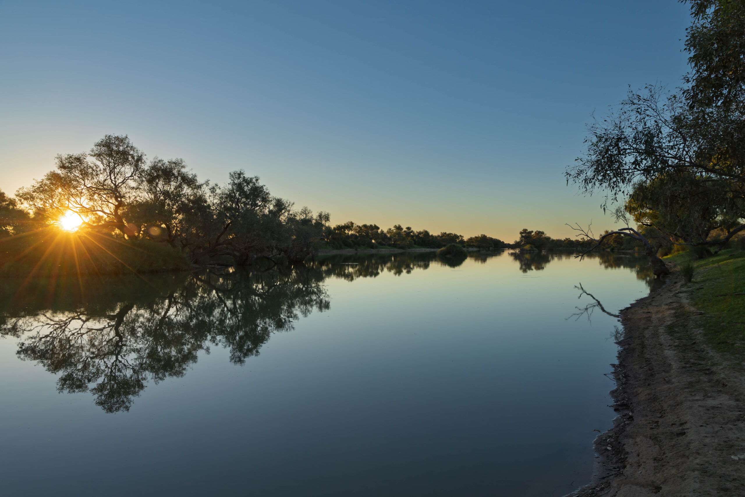
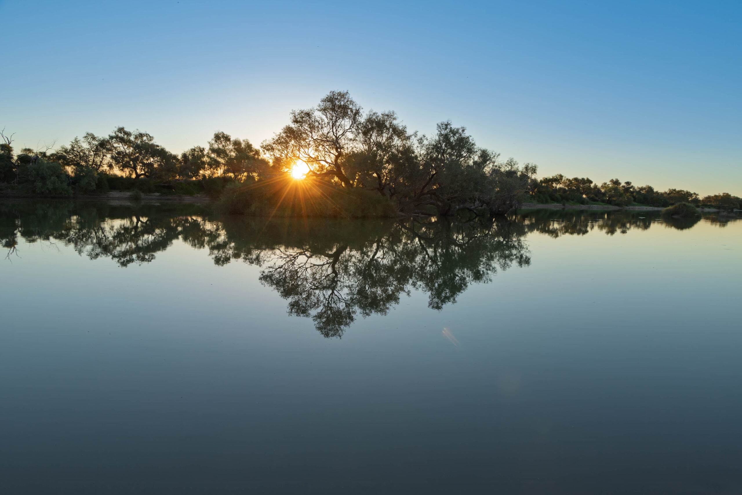
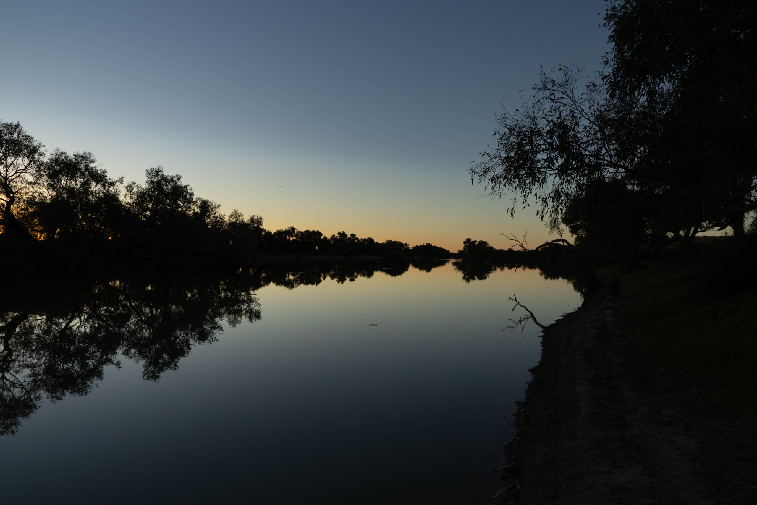
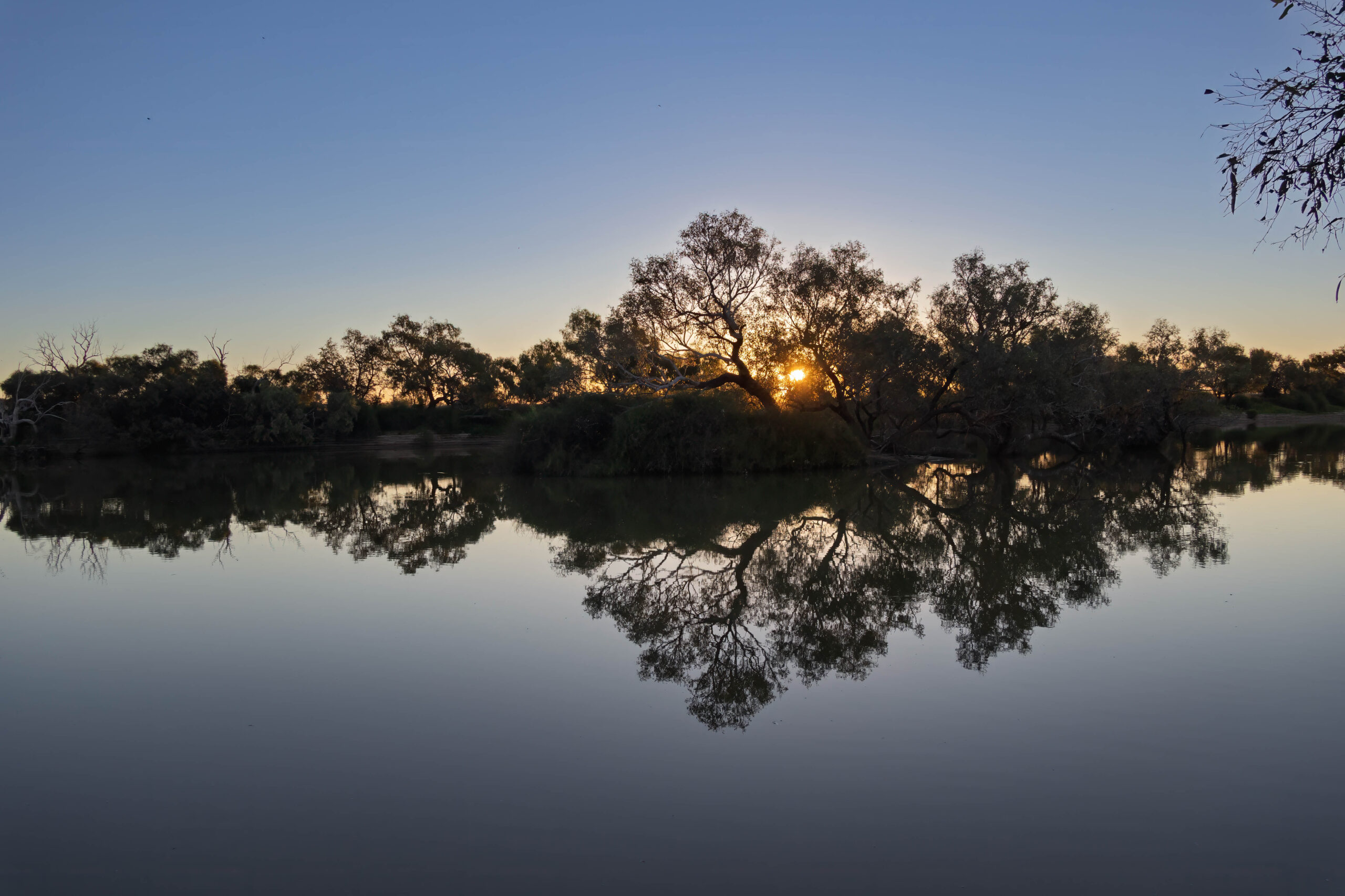
We made our camp for tonight beside Eyre Creek which I have to confess was pretty idyllic … even if there was no hot shower! We cooked up spaghetti bolognese for dinner and then headed to the campfire. It was very convivial tonight around the campfire with singing and poetry readings and good conversation. The camaraderie won out over blogging tonight. We will have to catchup during our day in Birdsville.
Camp 19 to Eyre Creek – 201 kilometres (Another 20 dunes to make 544 in total!)